Photo: Chris Lord, ACD's District Manager
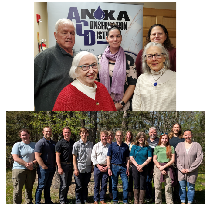
We're celebrating a milestone! The Anoka Conservation District's (ACD) Manager, Chris Lord, just reached his 35th anniversary of employment at ACD. Since 1991, he has worked on nearly every facet of our mission to "holistically conserve and enhance Anoka County's natural resources for the benefit of current and future generations through partnerships and innovation." Looking back, the progress and accomplishments are impressive.
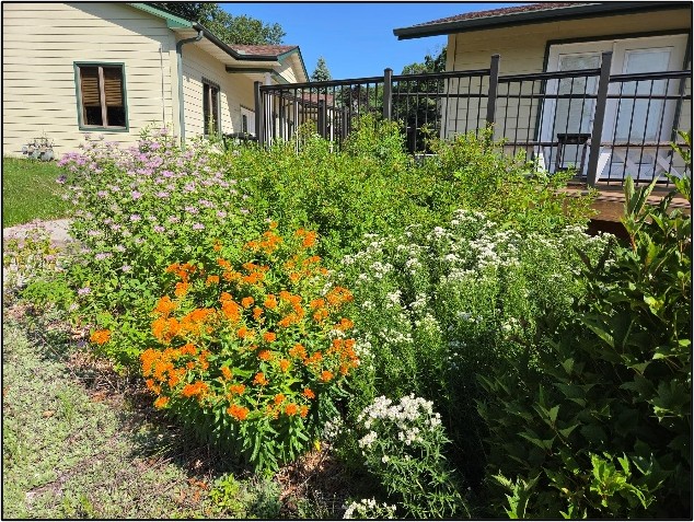
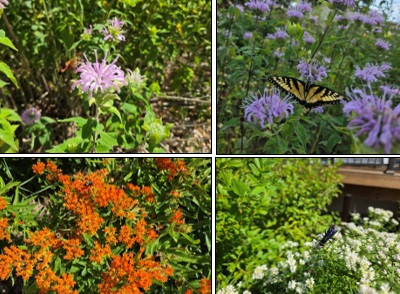
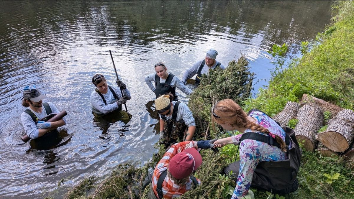
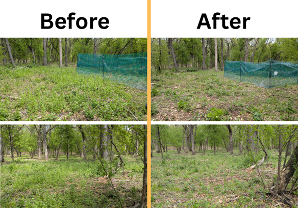
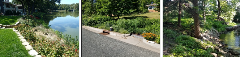
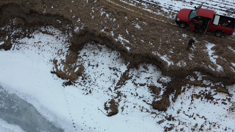
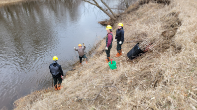
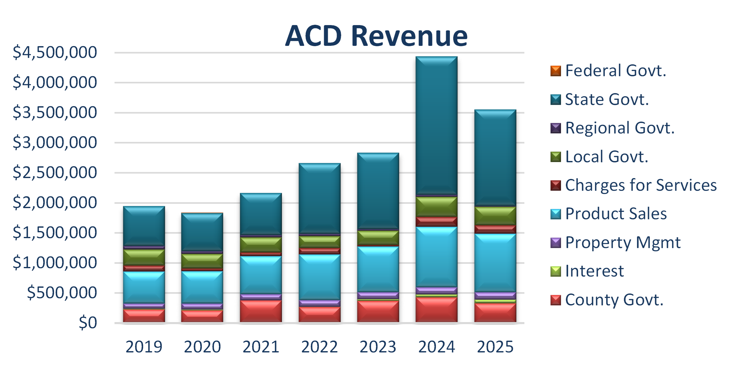
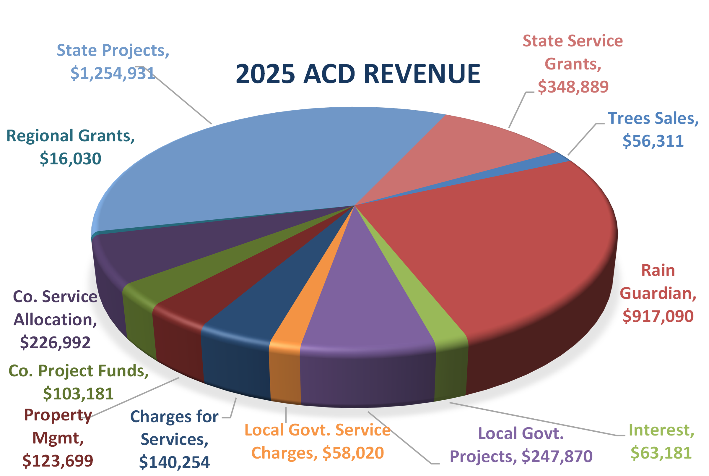
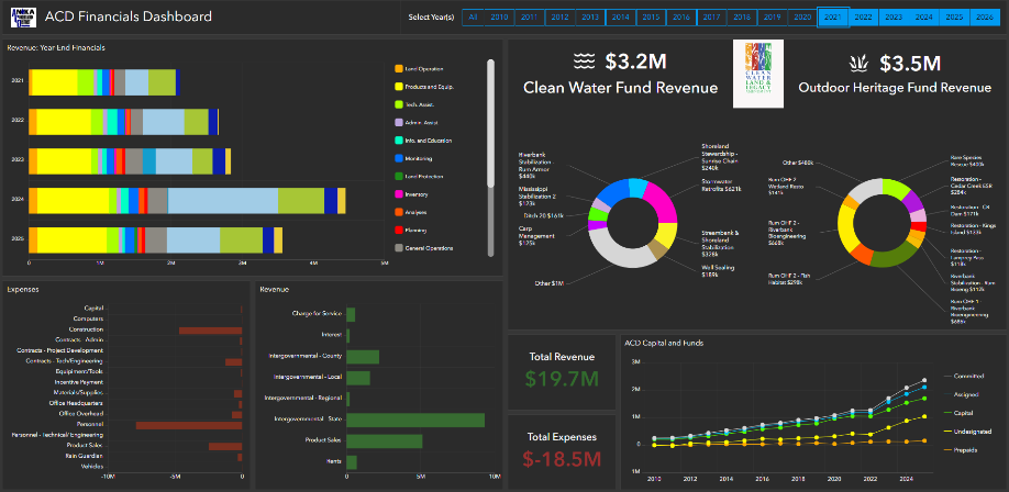
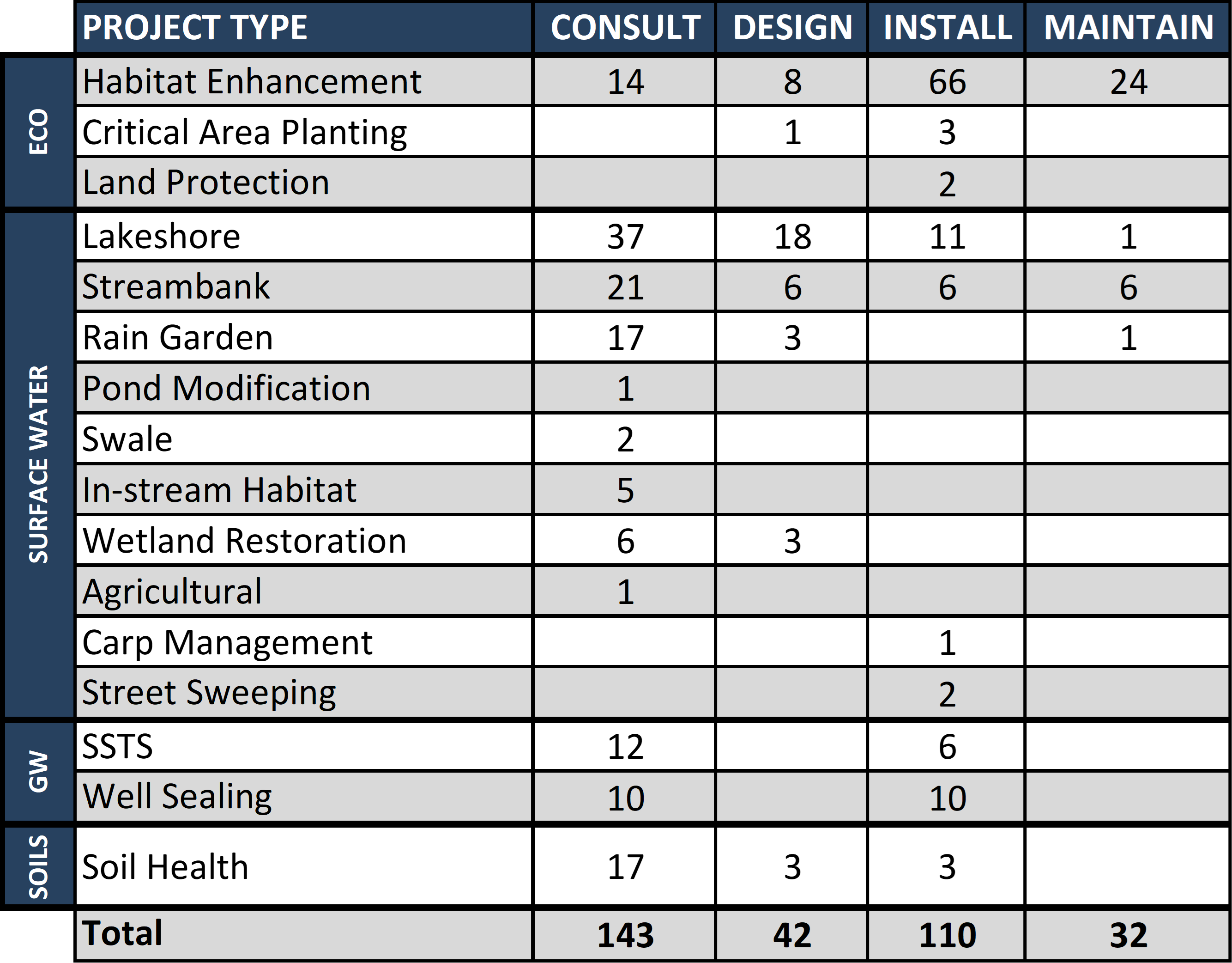
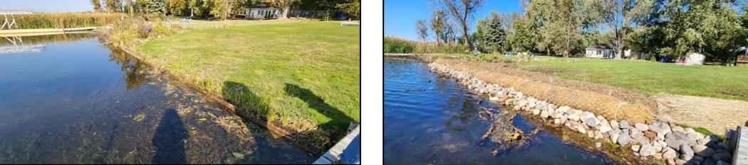
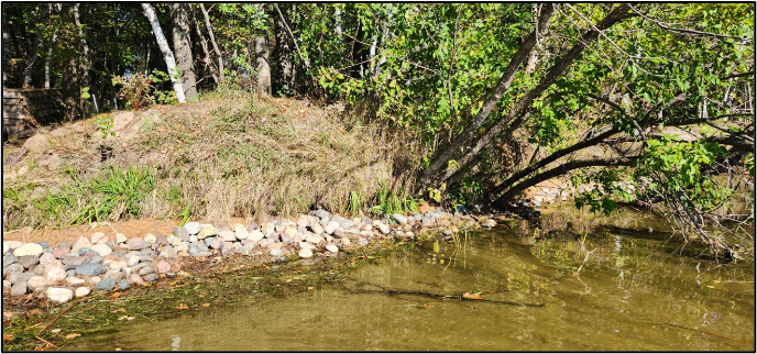
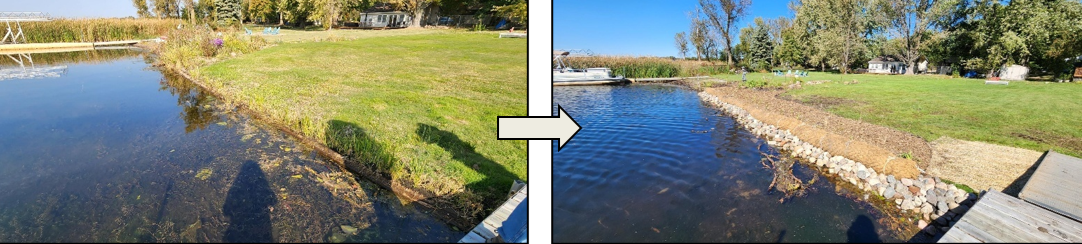
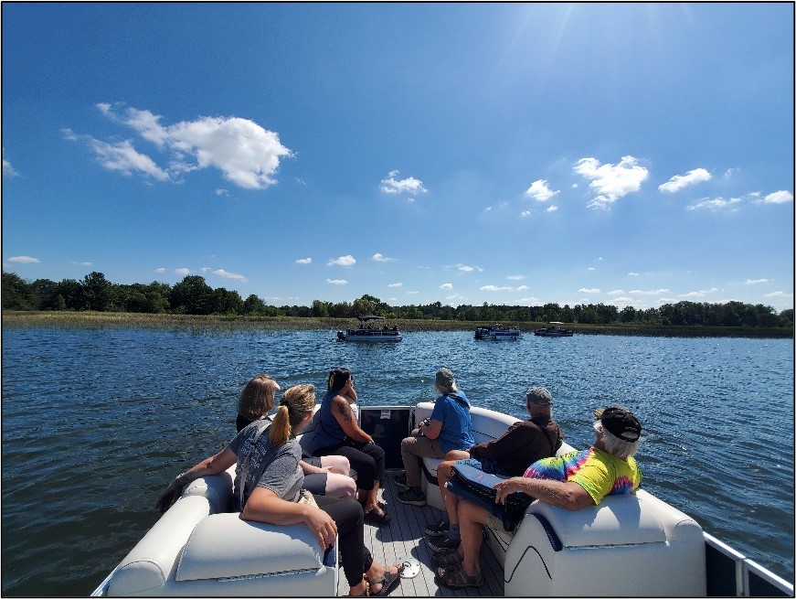
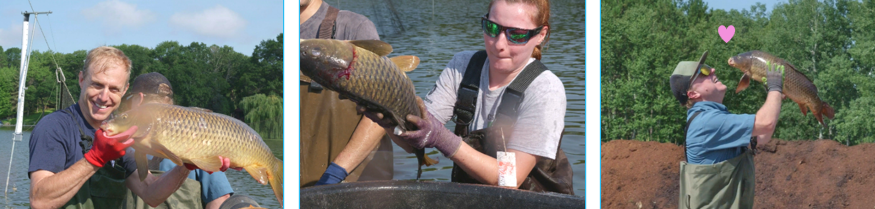
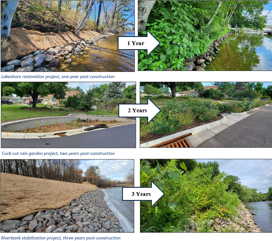
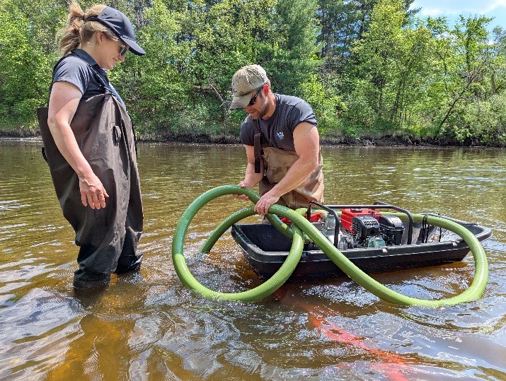
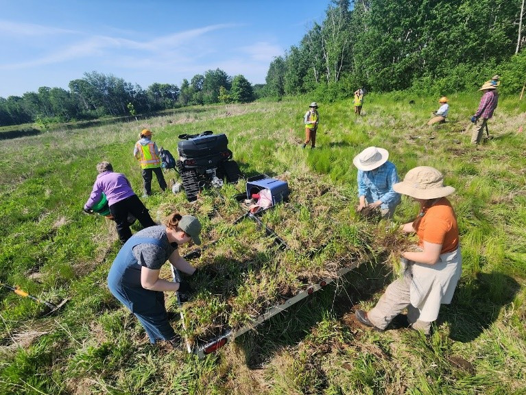
In 1991, when Chris started, ACD had a staff of 2 ½ people in a small rental space in a strip mall in Blaine. There were a few green-glowing computer screens and file cabinets. Services were meaningful, but few. In relatively short order, Chris was promoted to District Manager. Under his leadership, ACD today is 13-staff strong, owns its robust facilities, and has dozens of programs that bring millions in grant dollars into the community for conservation. ACD has completed 1,155 projects in just the last 25 years. Projects include nearly 3,000 acres of terrestrial habitat enhanced, over 7 miles of shoreline stabilized, and 1,695 acres of stormwater runoff treated. Water quality projects have spanned 12 lakes, the Rum and Mississippi Rivers, numerous streams, and groundwater.
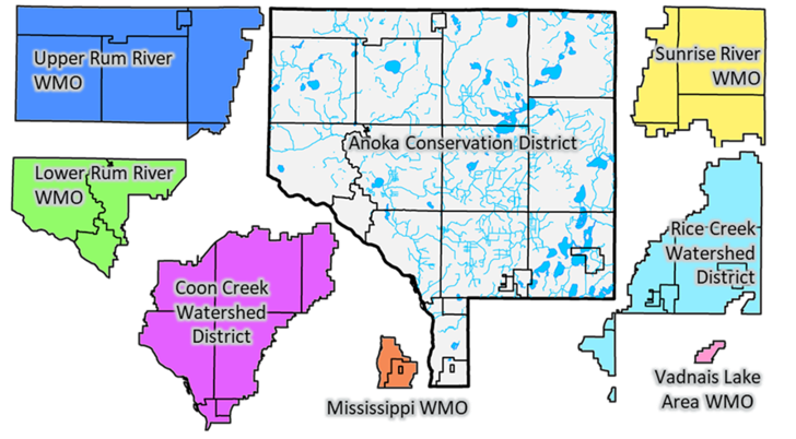
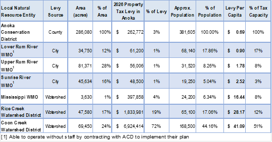
Partnerships built under Chris' leadership have multiplied the benefits to natural resources. There are six watershed organizations within the county that are key partners. ACD works in collaboration with them all annually and serves as contracted staff for three, reducing duplication and resulting in many shared projects. Regionally, ACD is part of larger groups that span neighboring counties, often those that share a watershed. Because Chris has lived and worked his entire life locally, he also has deep connections with landowners that have led to significant projects.
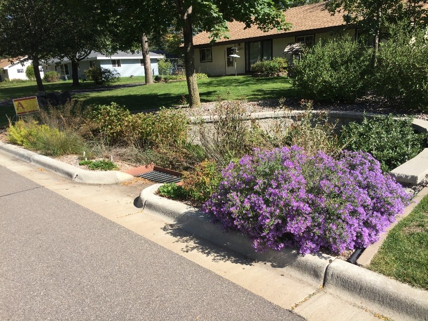
Innovation has been a key characteristic of Chris' leadership. As one example, he spearheaded efforts that led to the invention, patenting, and now nationwide sale of the Rain Guardian pre-treatment chamber for rain gardens. Not many government agencies also operate a business, but we do! It provides important revenue for conservation work.
ACD's office space is another example of innovation. ACD purchased its office space in 2011 as a foreclosed property. Additional building space was rented to generate enough revenue to cover the mortgage. Today, that mortgage is paid off, and rental income helps support conservation.
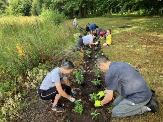
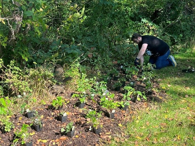
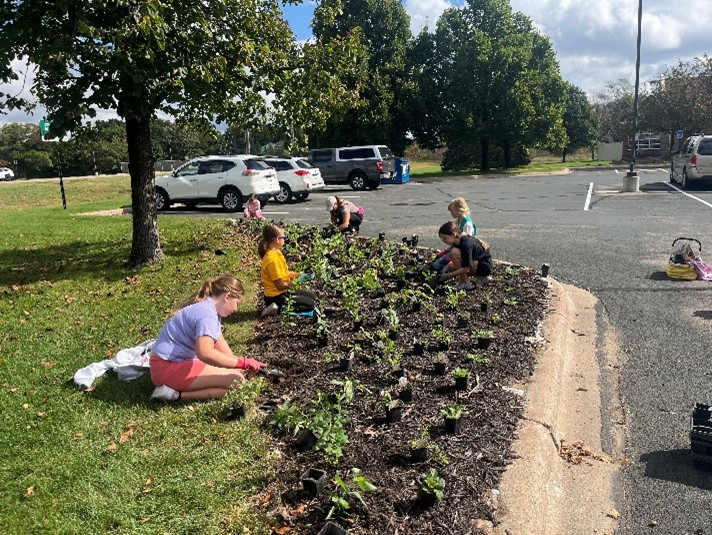
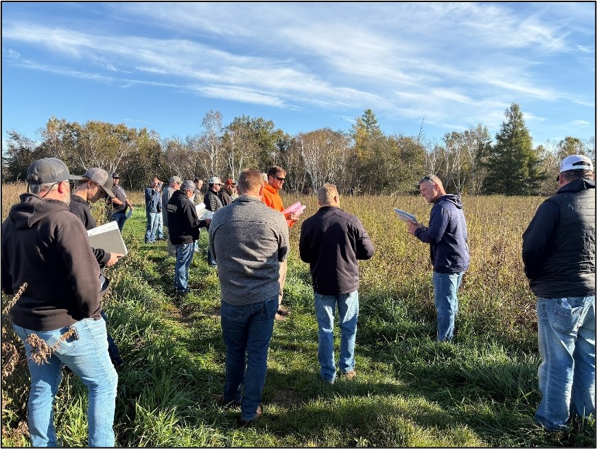
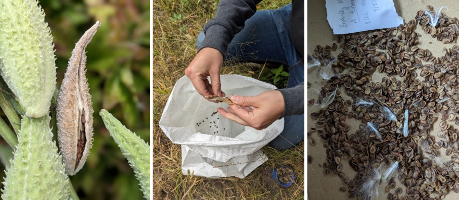
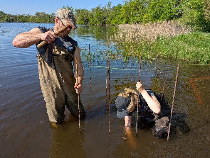
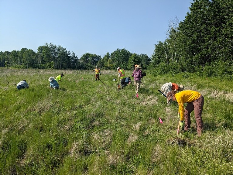
Chris has led, mentored, or otherwise touched every program at ACD for 35 years. This includes lake and stream monitoring, wetland regulatory assistance, prairie and woodland enhancements, wetland restorations, rare plant rescues, permanent land protection through easements, shoreline stabilization, stormwater treatment practices, educational video productions, community event displays, critical administrative functions, and much more. Chris' dedication and breadth of expertise are appreciated! Thank you, Chris!