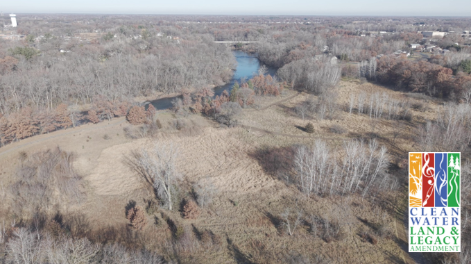
As rivers wind and cut new paths across the landscape, they leave behind curved depressions called "oxbows". Though these old segments of river channel have been cut off, they continue to serve important hydrologic and ecological functions. In natural settings, they hold water to reduce flooding and provide seasonal wetland habitat. Often, due to ditching, these oxbows are artificially separated from the river during high water, or drained so they do not hold water as long.
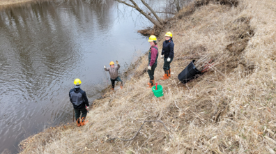
ACD staff are in the process of implementing two oxbow enhancement projects along the Rum River. The first is at a new conservation easement near the City of Princeton. The second is in Rum River Central Regional Park in Ramsey, MN. The two oxbows are impacted differently but will provide similar benefits once complete.
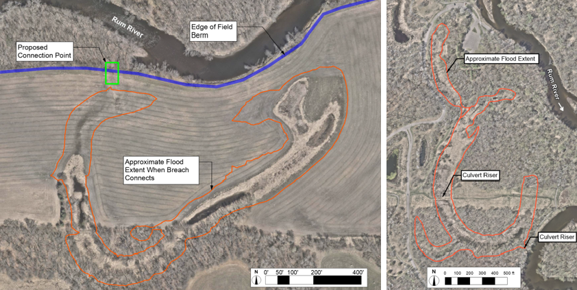
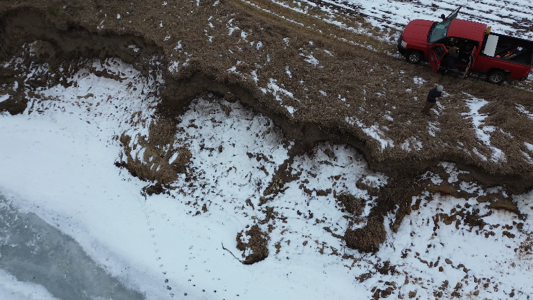
The oxbow near Princeton has historically been separated from the river via an artificial berm. This berm prevented the river from flooding into the surrounding farm field during periods of high water. This berm improved farm access for planting, but it kept the oxbow dry except during severe flood events. The landowner has placed the field under a conservation easement, with plans to restore the area to prairie and woods. We have partnered with Isanti SWCD, USFWS, and The Nature Conservancy to create a stabilized connection point through the berm that will allow the river to flood into the oxbow every two to five years instead of every fifty.
The Rum River Central Regional Park oxbow is impacted in the opposite way as the Princeton oxbow. This oxbow frequently floods from high river levels, but it was ditched to the river to drain as quickly as possible. We are partnering with Anoka County Parks to install risers on the culverts along the historical ditch, raising the elevation and the duration of water retention. Rather than allowing this oxbow to flood more frequently, we are helping it retain water for longer.
Stay tuned for project updates and photos as construction begins later this year! For more information, contact Jared Wagner, Water Resource Specialist, at