
Monitoring Plan for Buffer Compliance
1. Compliance Tracking of All Parcels
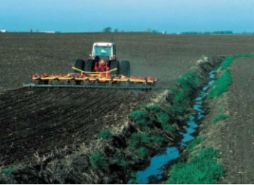
All parcels in Anoka County, subject to the Buffer Law, will be reviewed by ACD staff using the latest high-resolution aerial images available. All parcels will be reviewed not more frequently than every two years, and not less frequently than every three years. Inventories will only be completed when updated aerial photography becomes available.
2. Spot Checks
Site visits will be performed when ACD receives a complaint. A spot check will include an aerial photography assessment of the location and/or an on-site inspection if the site is visible from the road right of way or other publically accessible land. ACD staff would avail themselves of offers by complainants to view sites from the complainant’s property.
3. Process to Handle Complaints
a. The complainant’s name and phone number will be recorded if provided.
b. The location of the potential violation will be recorded as described by the complainant.
c. A spot check of the site will be performed as described above.
d. If ACD determines that the parcel in question is compliant, ACD will notify the entity with enforcement authority that a complaint was received, but the parcel was found to be compliant.
e. If ACD determines that a buffer may be non-compliant: A letter will be sent to the landowner by certified USPS mail describing the type and location of the potential violation, and a map of the parcel with waterways requiring buffers denoted.
f. Anoka County, as the enforcement authority will be notified that ACD found a potential violation and that a letter was sent to the landowner. A Notification of Noncompliance will be submitted only after non-compliance is verified.
g. If the landowner responds to ACD within 30 days of the mailing date of the letter: ACD will begin working with the landowner toward compliance and the enforcement entity will be notified that ACD is working with the landowner.
h. All progress toward compliance will be tracked. Progress includes technical questions through phone calls and office visits with ACD, measuring and staking of the required buffer by ACD staff, site preparation, and planting of perennial vegetation. The rate of progress will be determined by the professional judgment of ACD staff with consideration given to weather and soil conditions.
i. Once compliance is achieved, ACD will provide a validation of compliance to the landowner and a copy to Anoka County.
j. If the landowner does not respond to ACD within 30 days of the mailing date of the letter, responds in a way that makes clear progress will be made, or if progress halts for an unreasonable period, ACD will inform Anoka County about the status of compliance and the steps that have been taken to verify or work toward compliance.