ACD identified several keystone endeavors for each of the foundational natural resources: Surface Water, Ecological Resources, Groundwater, and Soils as well as Community and Operation. We also recognize the foundational knowledge provided by monitoring, inventory, analysis and planning. As we make progress on these endeavors, we'll have a positive impact on the quality of life in Anoka County. Listed below are achievements from 2023. Each year, it's important to take stock in how well we progressed in the prior year.
Foundational Knowledge
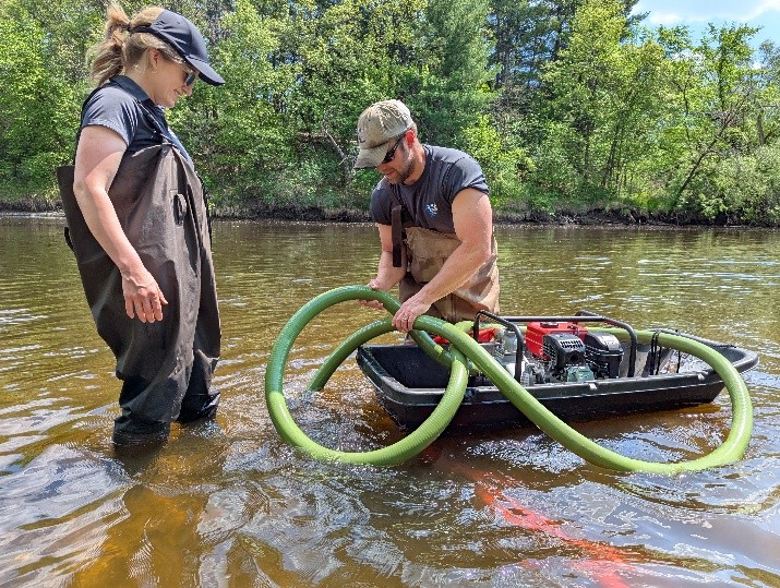
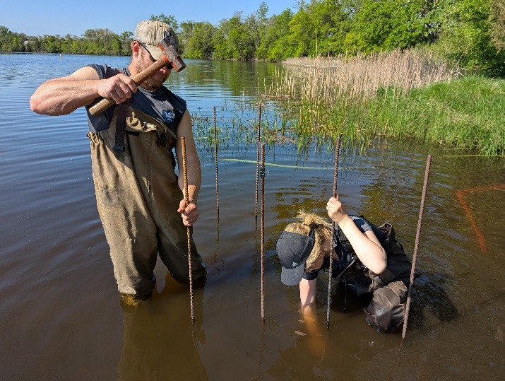
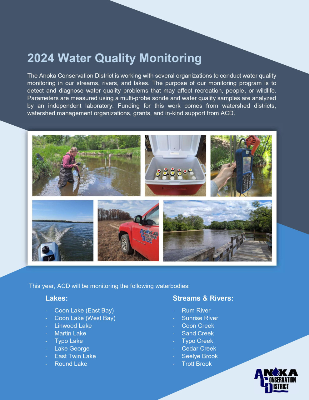
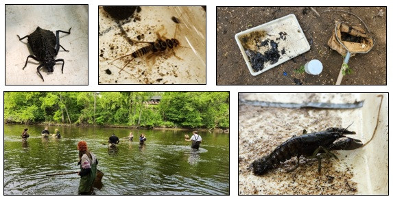
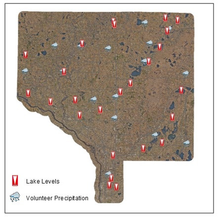
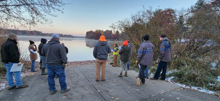
Monitor - 123 monitoring sites including lakes, rivers, wetlands, groundwater, and precipitation involving quantity, quality and biology.
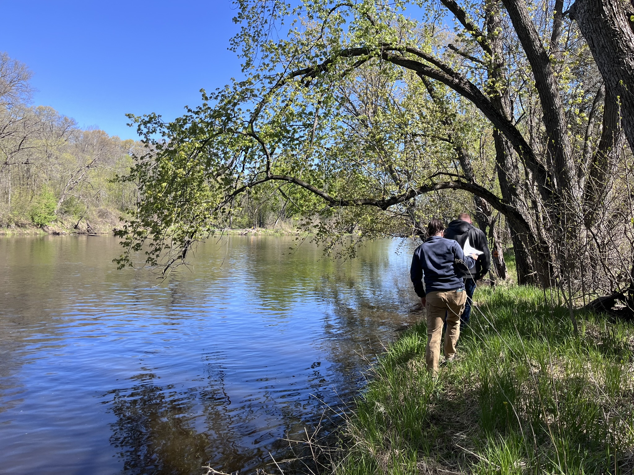
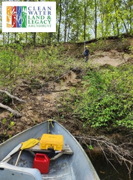
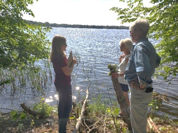
Inventory - Photo inventory of Rum & Mississippi rivers, Oak Glen Creek, and Martin, Linwood, and Coon Lakes. Aquatic plant inventory of Lake George and Highland Lake. Restorable wetlands and buffer law compliance inventories.
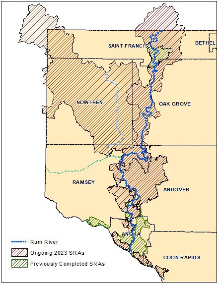
Analyze - Completed Centerville Lake Stormwater Retrofit Analysis (SRA). Advanced Rum and Mississippi SRAs. Completed Subwatershed Analysis (SWA) for Ford Brook and Rum River drainage areas.
Strategize - Annual work plans for ACD, local WMOs, Rum and Lower St. Croix watersheds. Participate in regional planning initiatives.
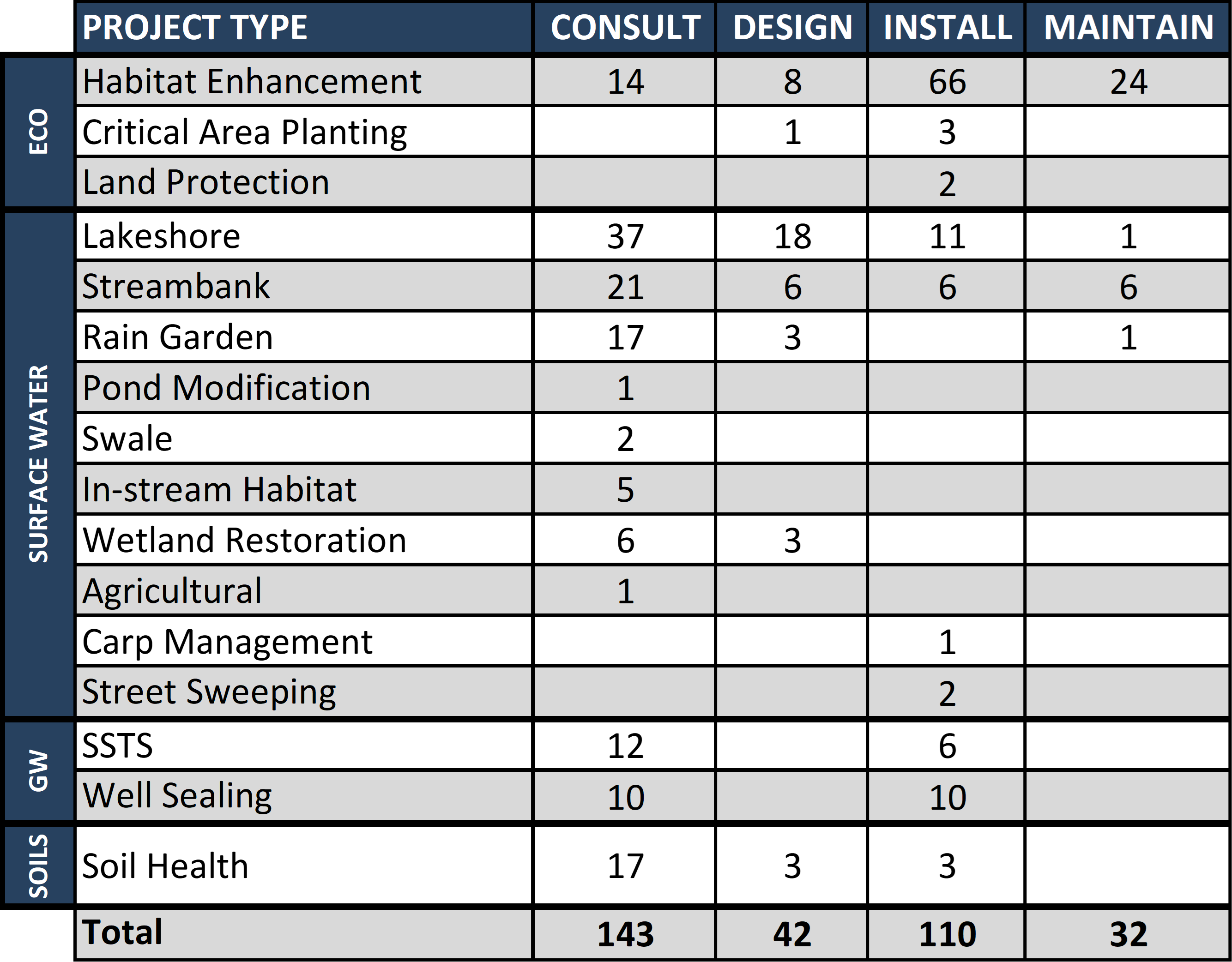
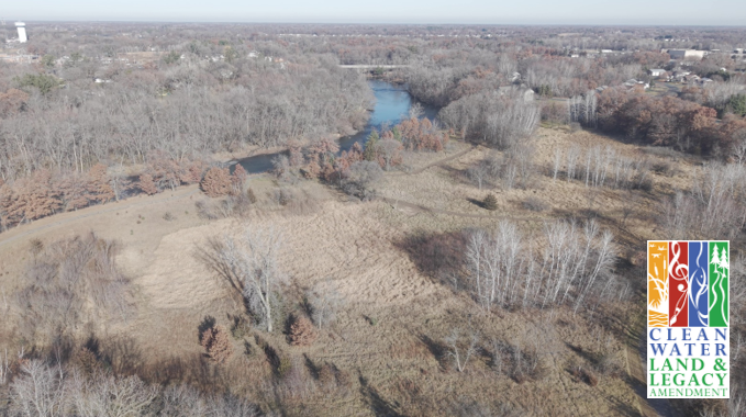
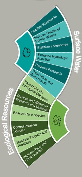
Surface Water
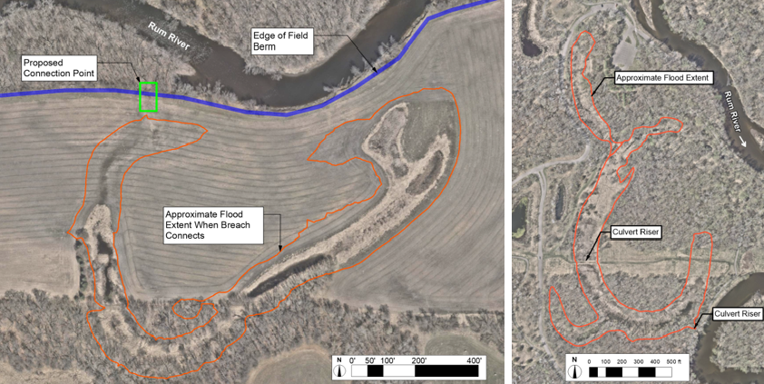
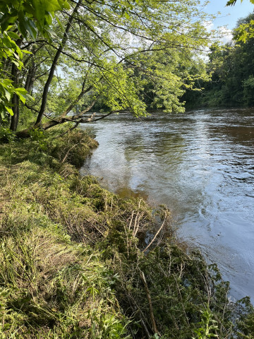
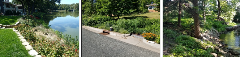
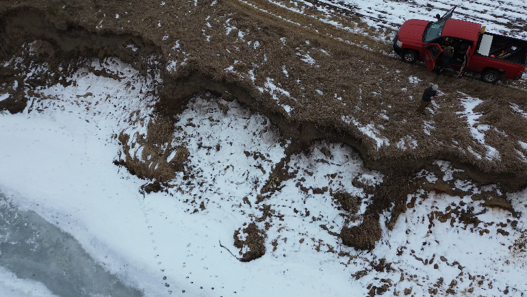
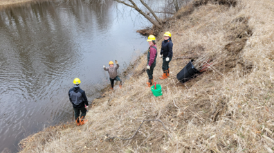
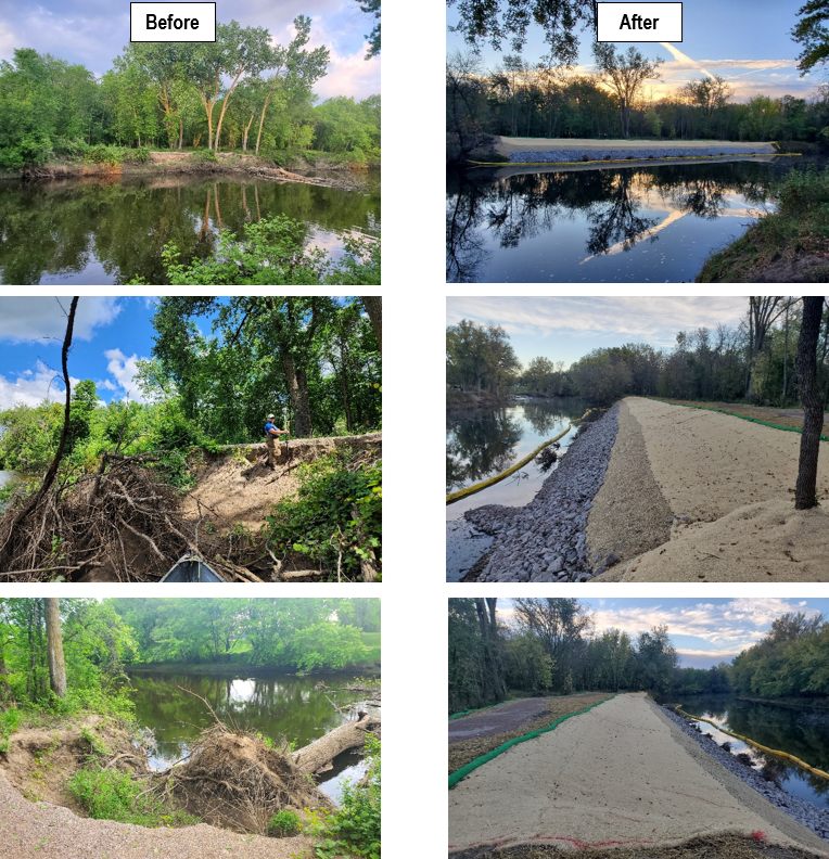
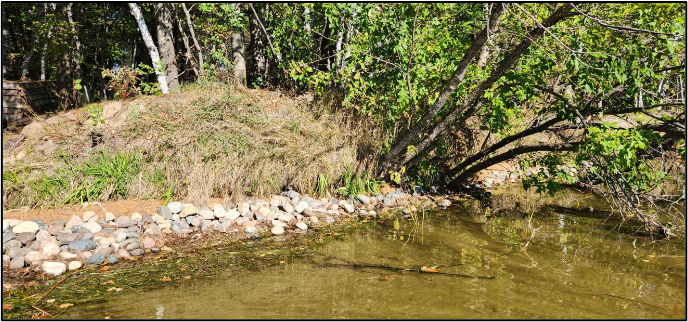
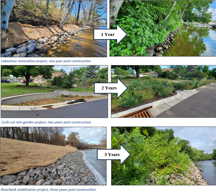
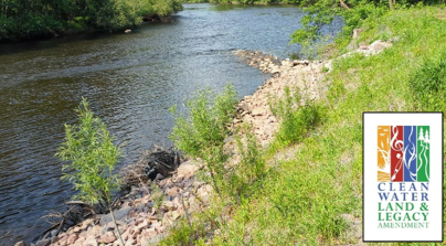
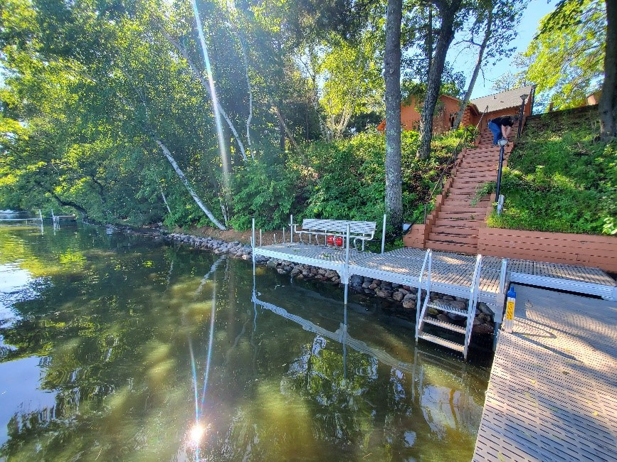
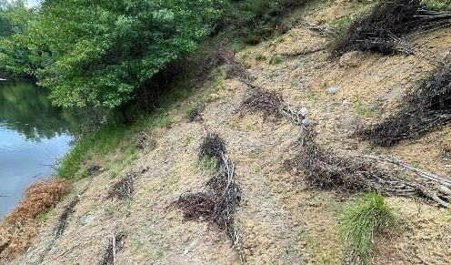
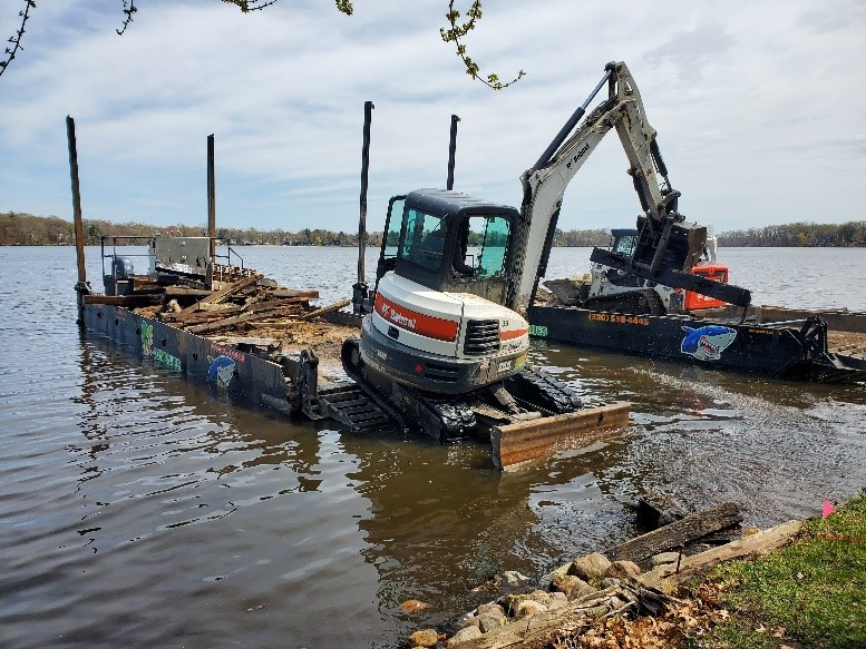
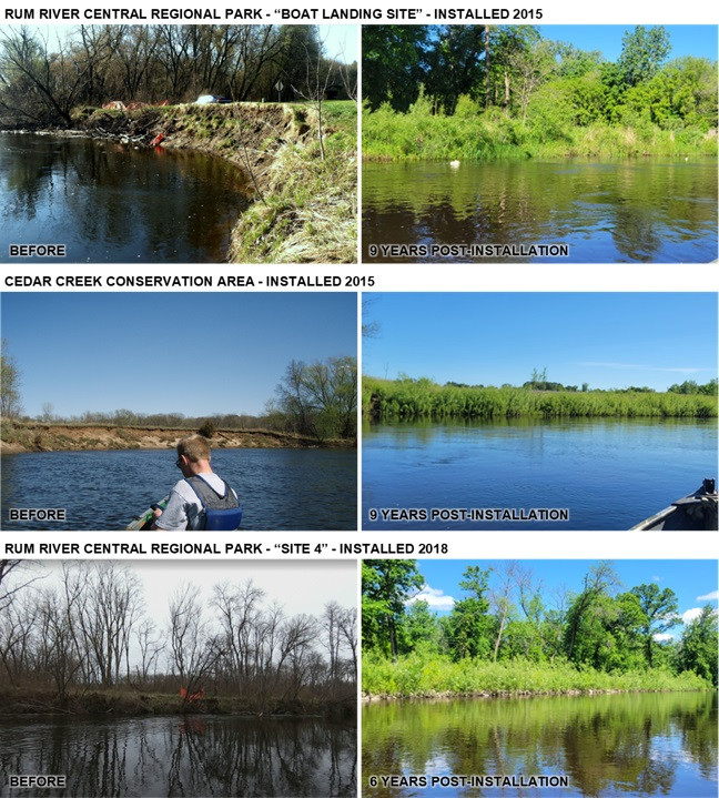
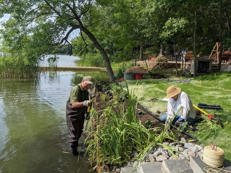
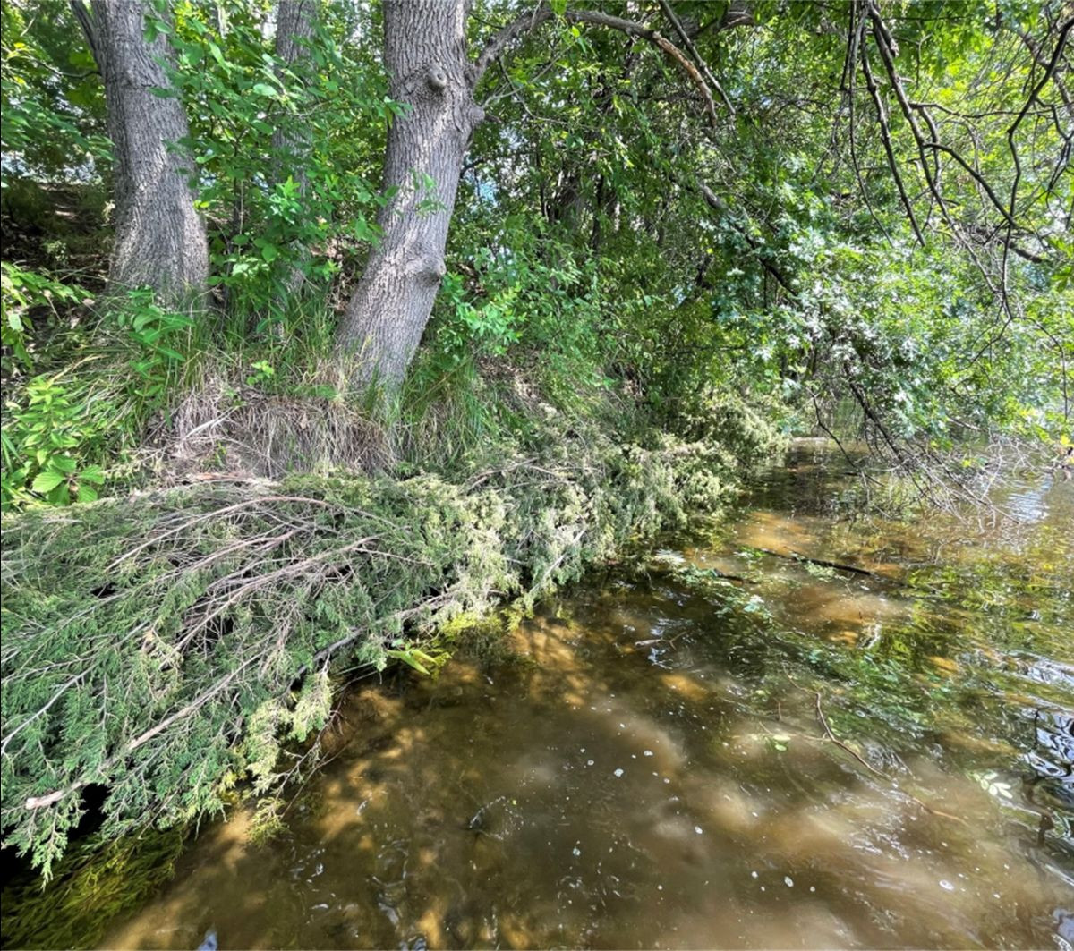
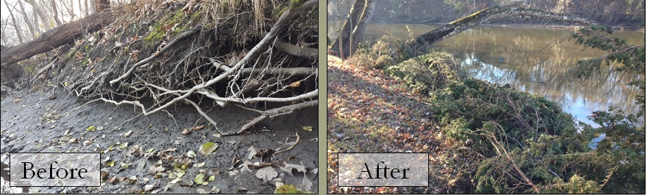
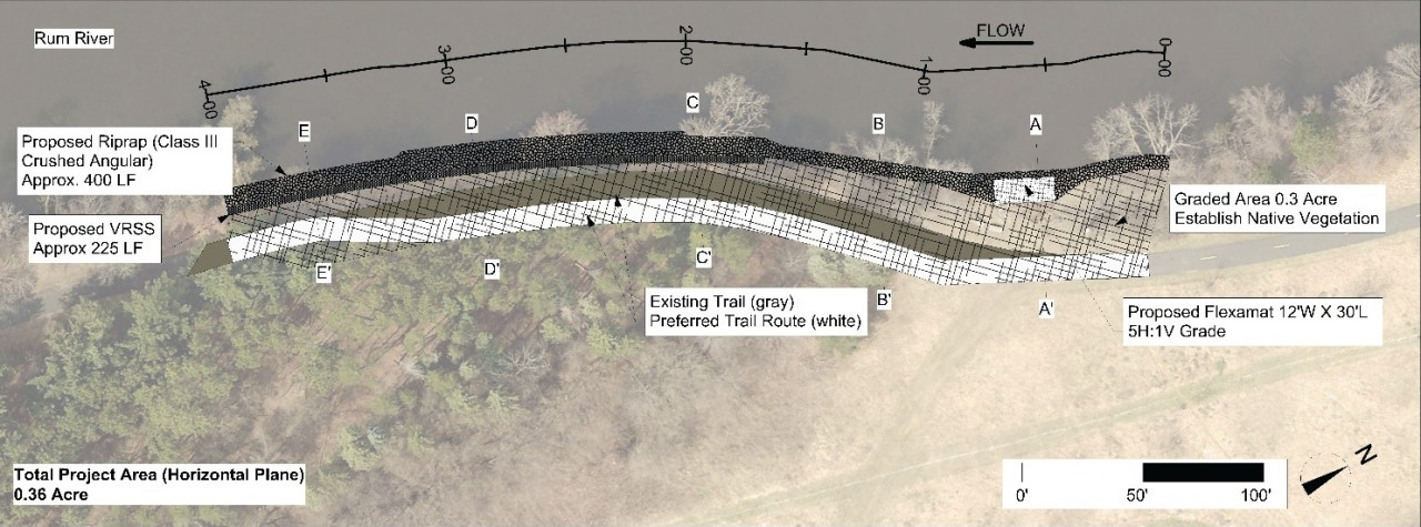
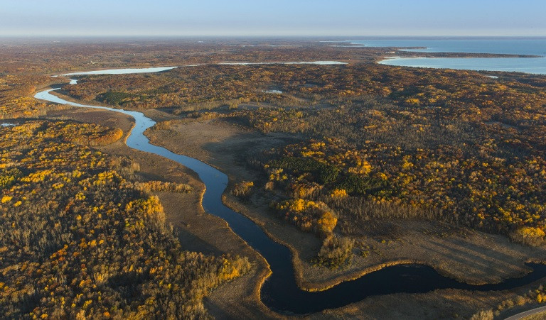
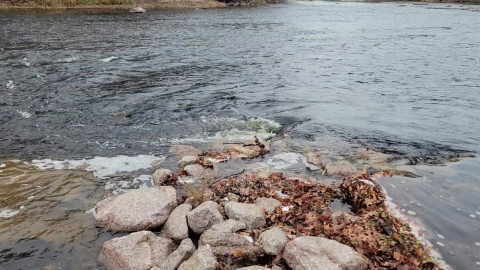
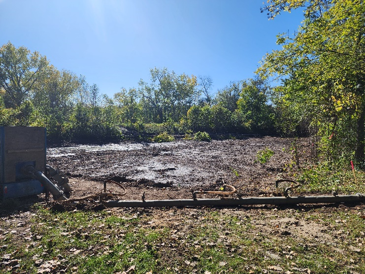
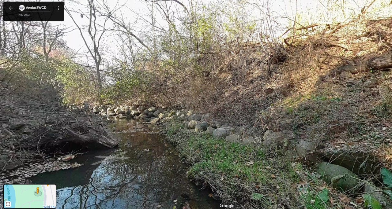
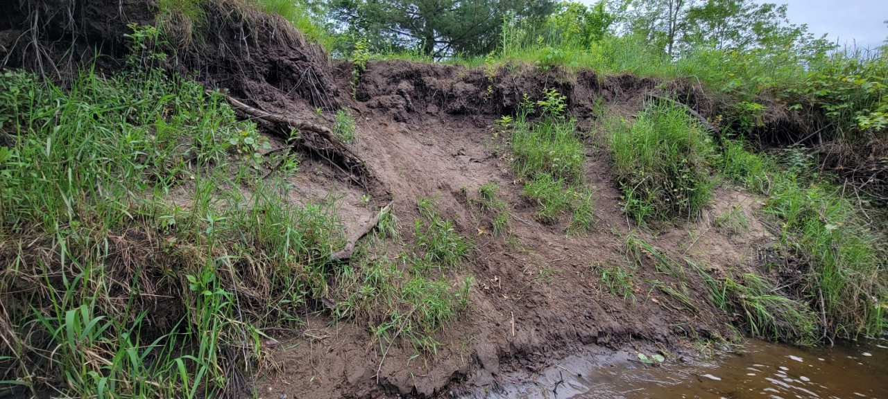
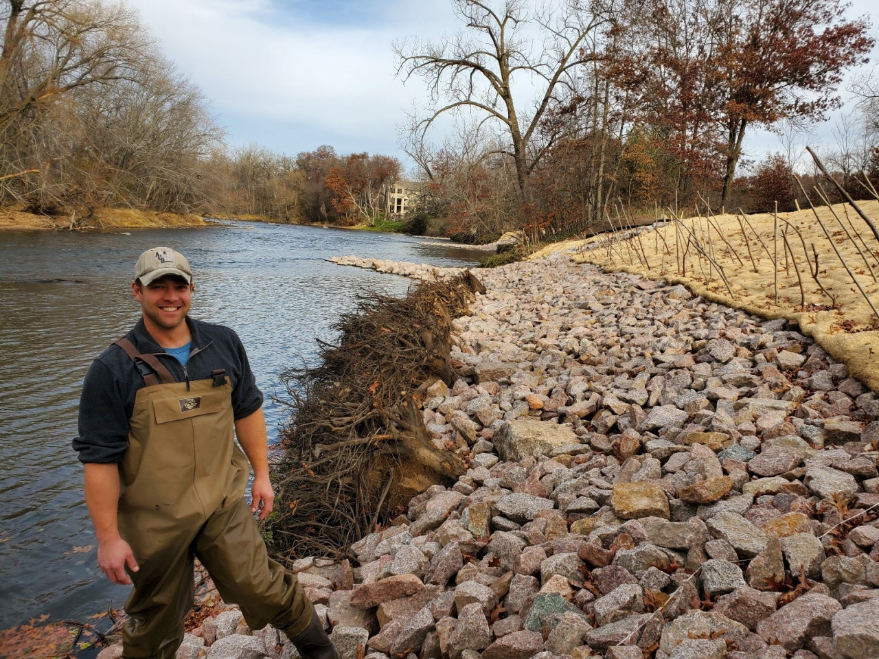
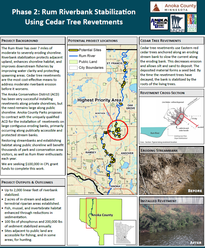
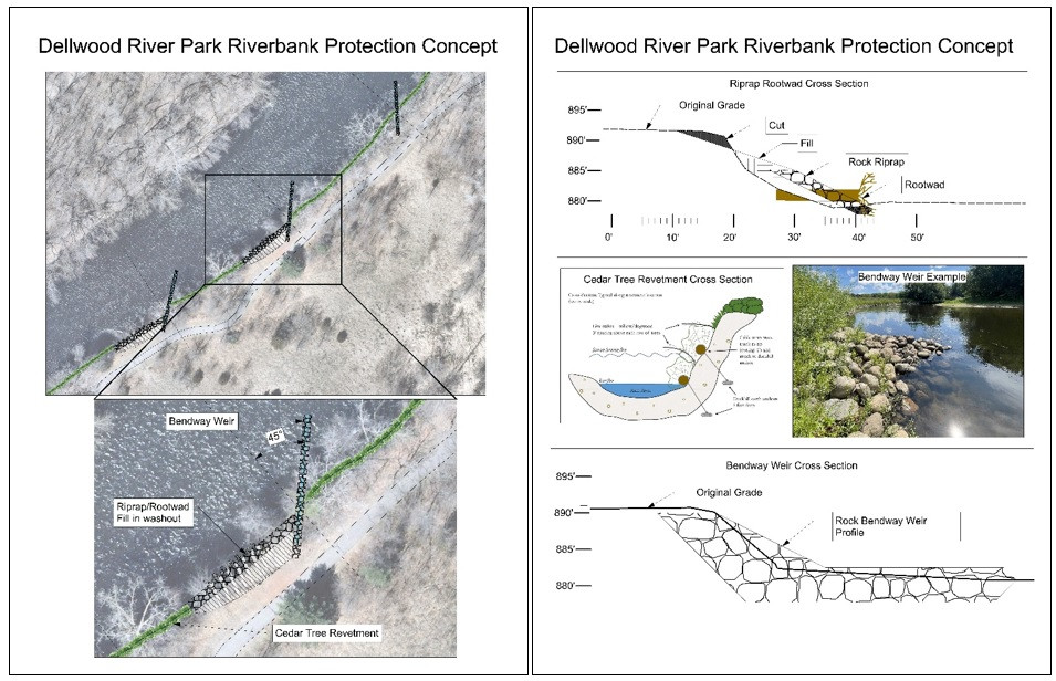
Stabilize Riverbanks - 3,041 ft. of Rum Riverbank.
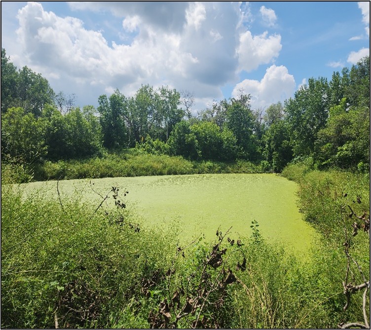
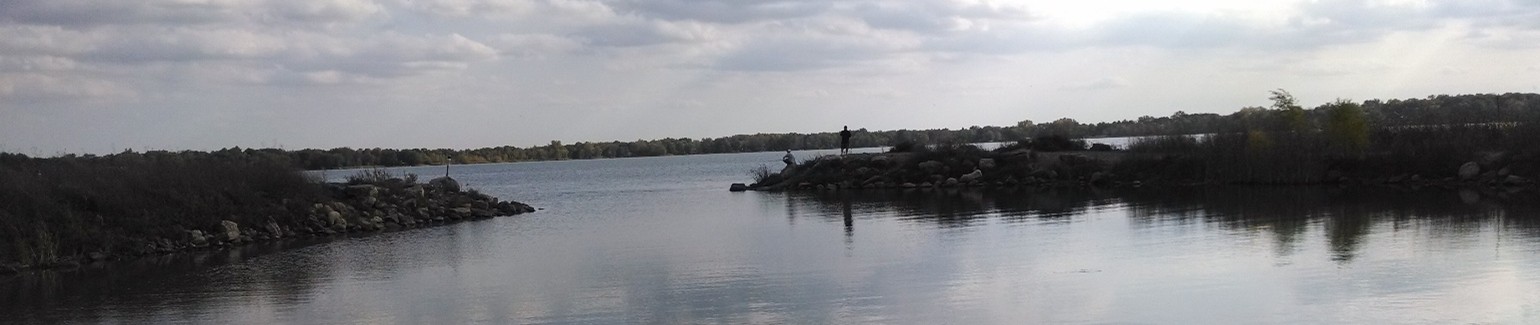
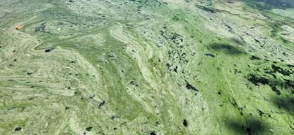
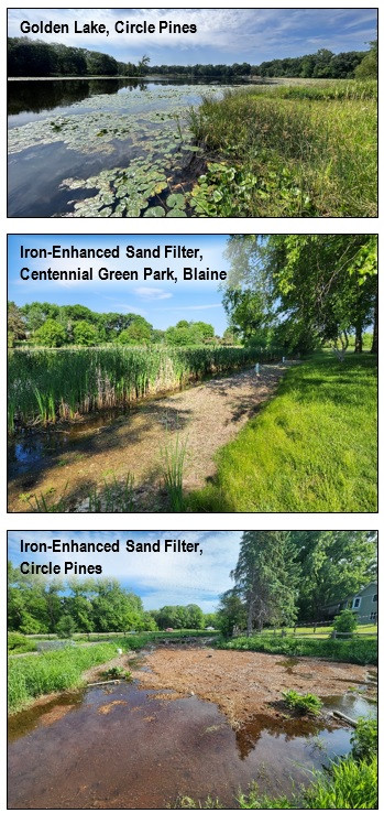
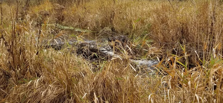
Improve Quality of Priority Waters - Martin and Typo Lakes improving. Projects on Lake George, Golden Lake, Mississippi and Rum Rivers.
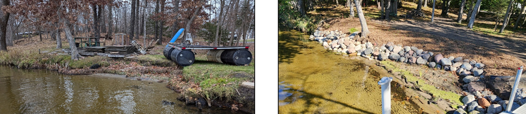
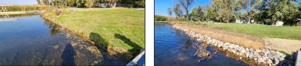
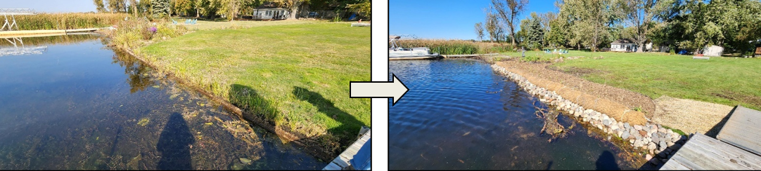
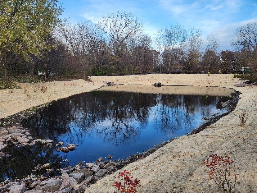
Stabilize Lakeshores - 180 linear ft. of lakeshore on George and Golden Lakes.
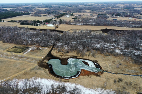
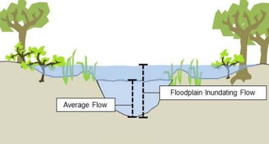
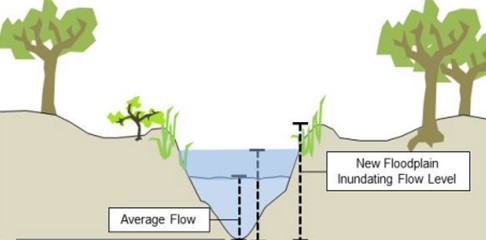
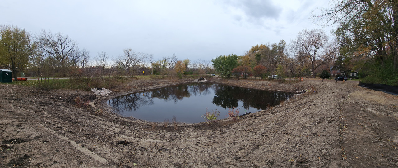
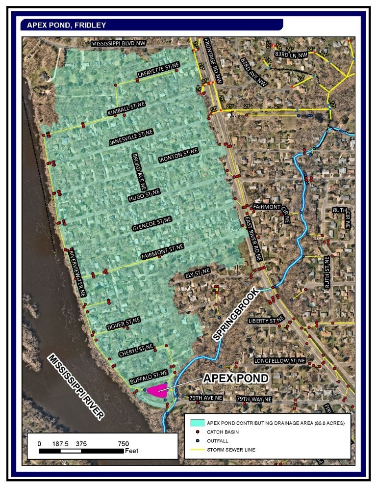
Enhance Hydrologic Function - Pond modification treating 86.8 acres for water quality and stormwater attenuation.
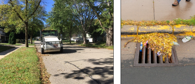
Remove Pollutants - 123 lbs Total Phosphorus and 117 tons Total Suspended Solids reduced.
Treat Urban and Rural Runoff - Enhancing treatment of 97 acres of urban runoff.
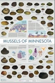
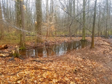
Ecological Resources
Protect Priority Ecological Corridors - Two RIM conservation easements totaling 52.4 acres including 3,750 ft. of Rum River frontage. Assumed management of 126 acre wetland bank.
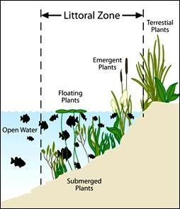
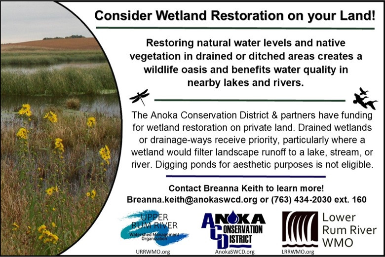
Restore and Enhance Wetlands and Uplands - 50 acres-Prairie, 29 acres-oak savanna & woodland, 29 acres-wetland, 10,000 ft²-riparian habitat, and 2,000 ft²-lakeshore habitat.
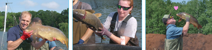
Rescue Rare Species - 900 rare plants rescued and planted into 5 protected sites.
Control Invasive Species - 41 acres-buckthorn, 2.6 acres-non-native Phragmites, 5 acres-wild parsnip, 1 site-round-leaf bittersweet, 1 site-golden creeper, 10 sites-knotweed, 1 site-tansey, 0.5 acres-spotted knapweed.
Maintain Projects and Practices - 74 sites inspected.
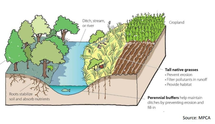
Improve Rural and Urban Habitat - 12,015 ft². of riparian and shoreline buffers.
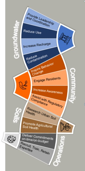
Groundwater
Provide Leadership and Coordination - Serve on metro groundwater sustainability workgroup. Pursue funding for Groundwater Specialist. Pass MASWCD resolution for groundwater conservation funding from DNR user fees.
Reduce Use - Comment on DNR water appropriation permits to reduce waste.
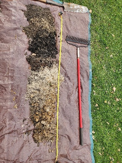
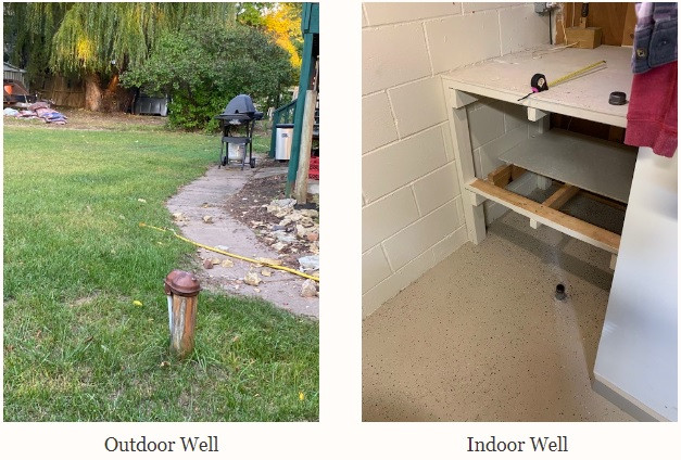
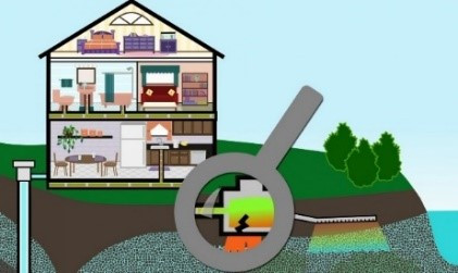
Reduce Contamination - 6 failing septic system fixed, 15 wells sealed.
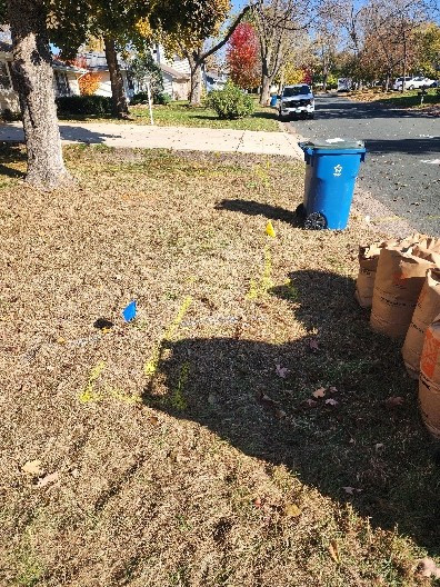
Community
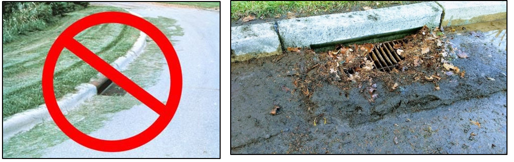
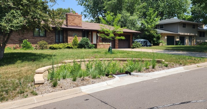
Inspire Behavior Change - 71 projects installed.
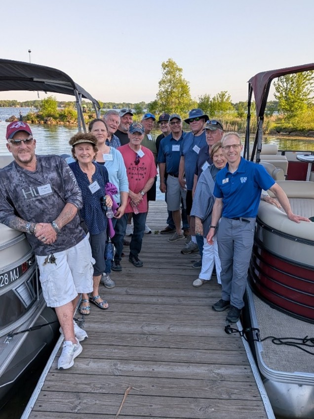
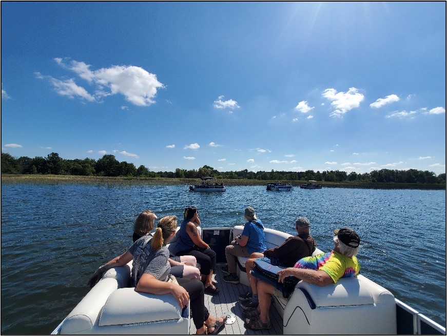
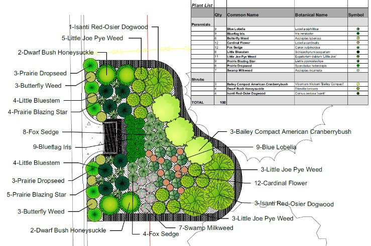
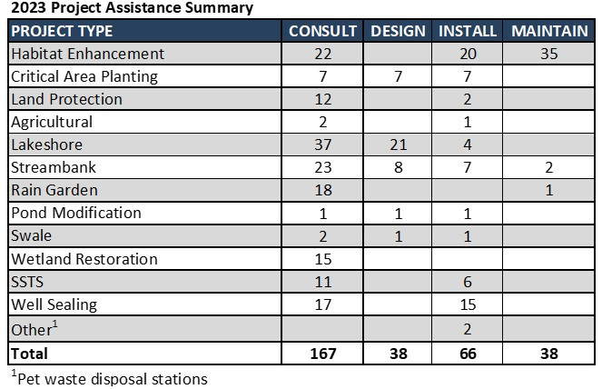
Engage Residents - 167 site consultations, 38 project designs, 5 volunteer events, 354 tree sale customers.
Increase Awareness - Completed Our Riverbank Connection video and accompanying online quiz, 26,507 views of Our Connection video series, presentations to 400+ participants on a variety of topics, workshops, monthly snapshot, quarterly newsletter, active blog, and social media.
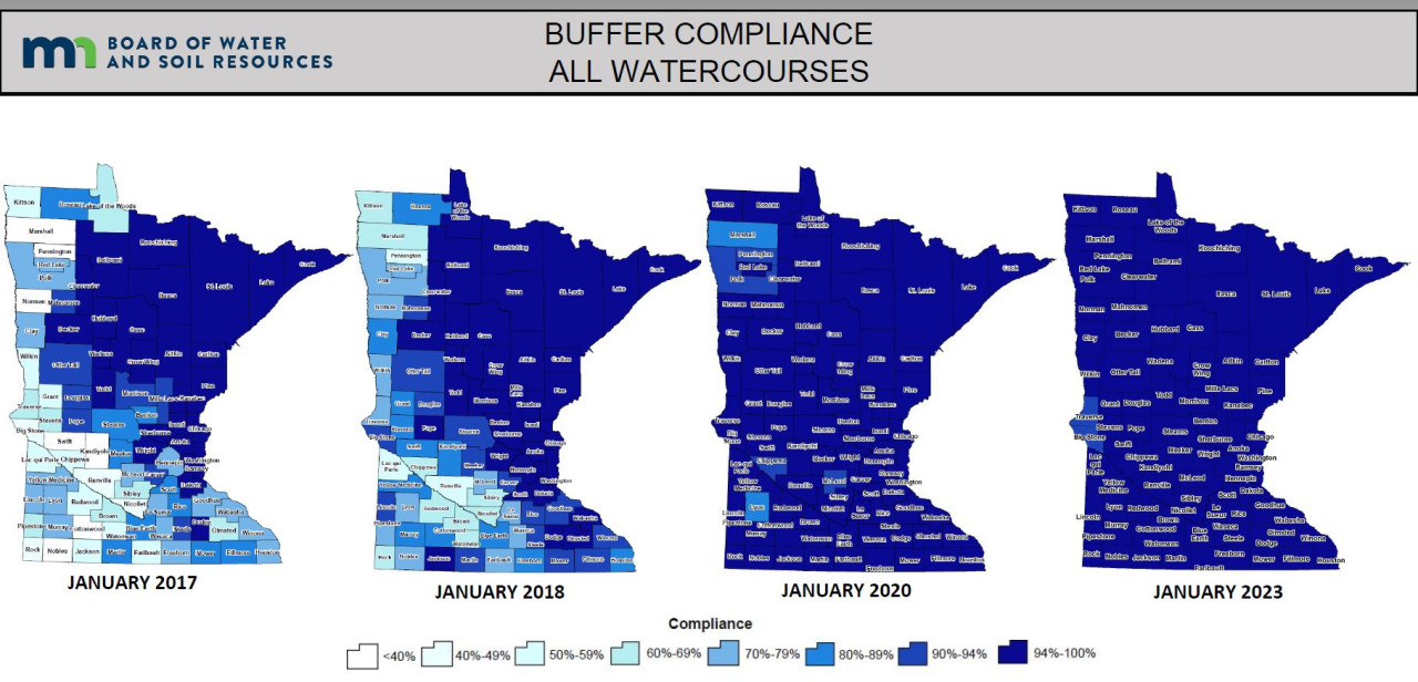
Assist with Regulatory Compliance - 99.9% buffer law compliance, Wetland Conservation Act guidance.
Soils
Promote Agricultural Soil Health - Cost share funding promotion, 1 project-10 acres.
Operations
Deliver Commitments On Time and On Budget - Closed out 8 grants.
Recruit, Train, Retain Expertise - Added P.E. licensure, no resignations.
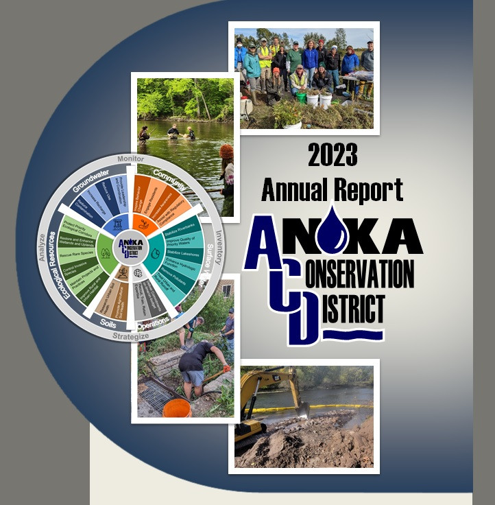
For more information on ACD's 2023 activities check out the full 2023 ACD Annual Report or contact Chris Lord, District Manager, at This email address is being protected from spambots. You need JavaScript enabled to view it..