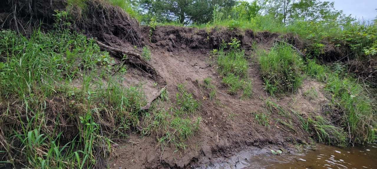
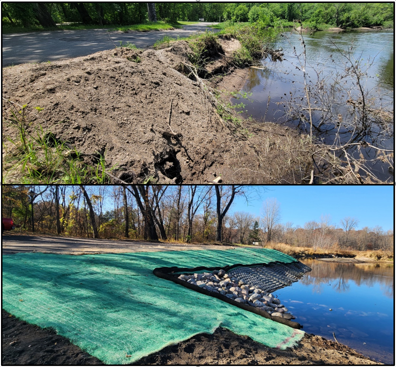
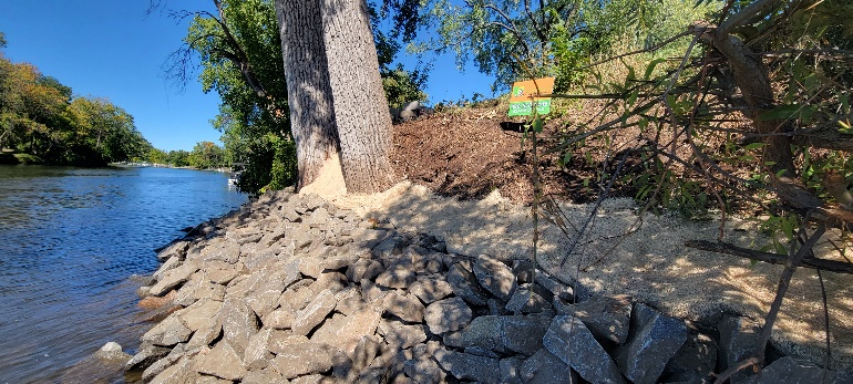
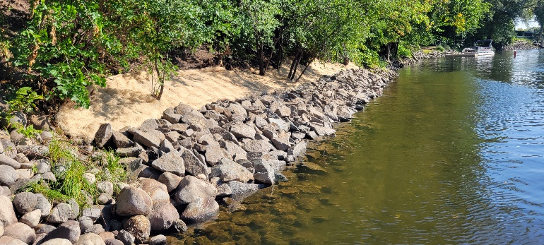
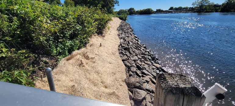
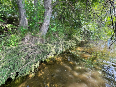
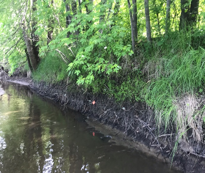
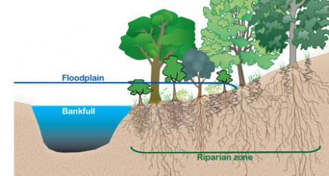
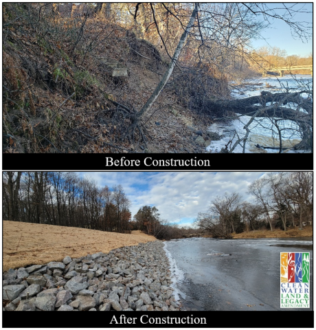
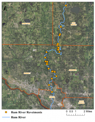
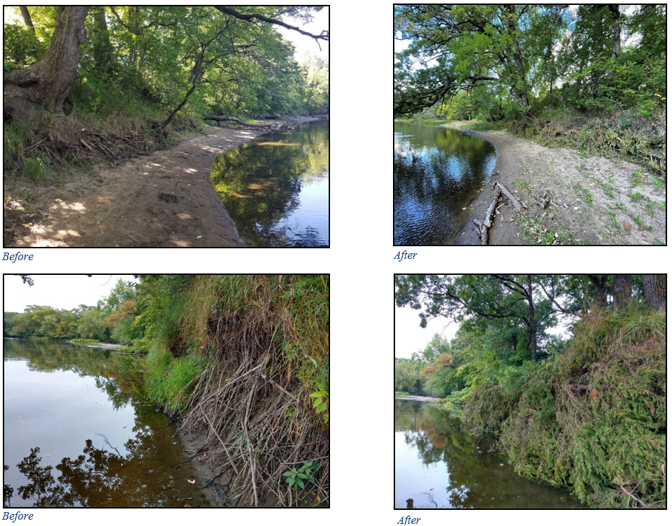
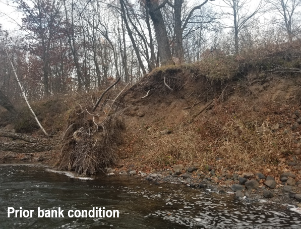
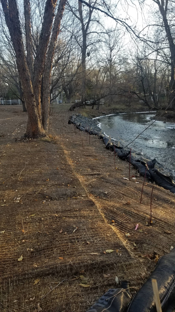
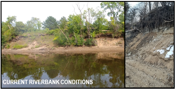
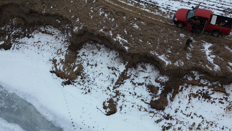
It is easy to recognize large, eroding riverbanks as a problem. Along the Rum River, which flows through the Anoka Sand Plain, twenty-foot-tall cliffs along outer bends are not an uncommon sight. Stabilizing these banks protects the land behind them and keeps soil and nutrients out of the river. Exactly how to approach stabilization is a balancing act unique to each site.
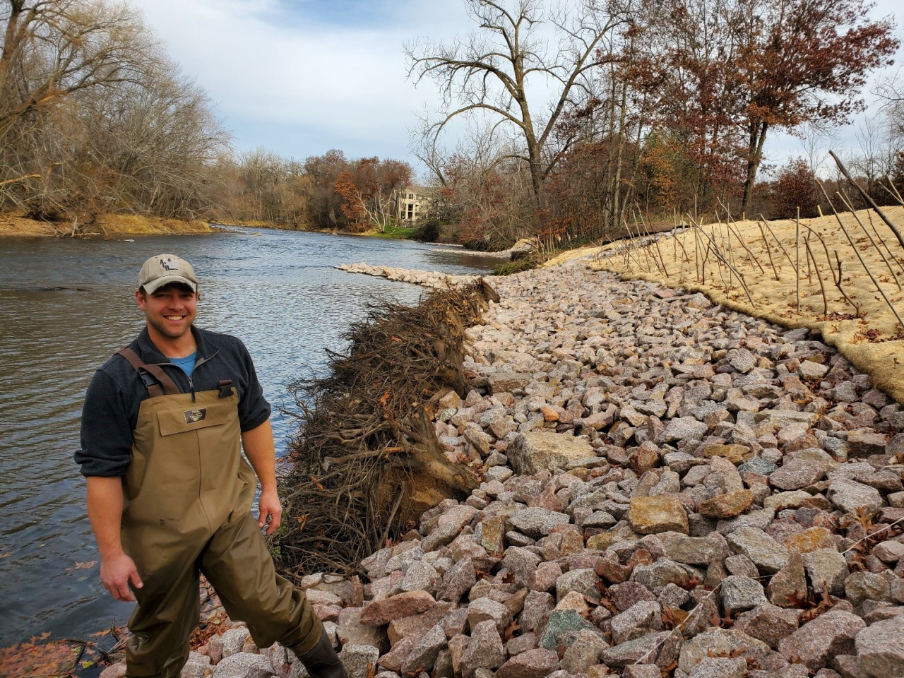
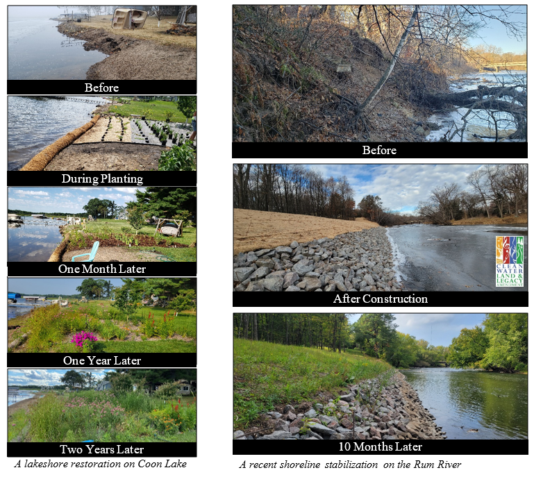
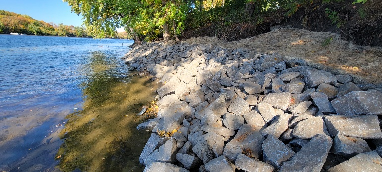
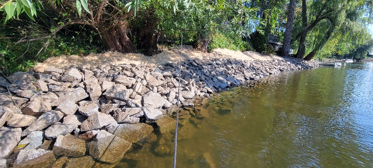
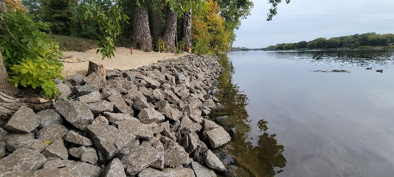
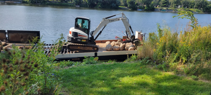
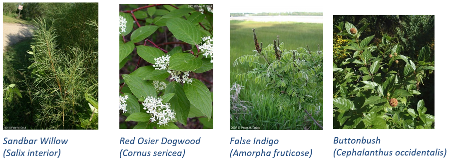
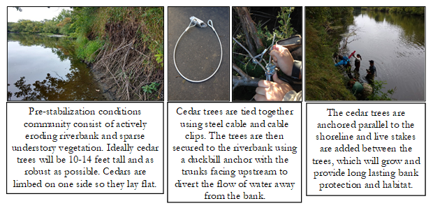
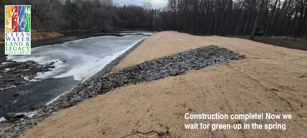
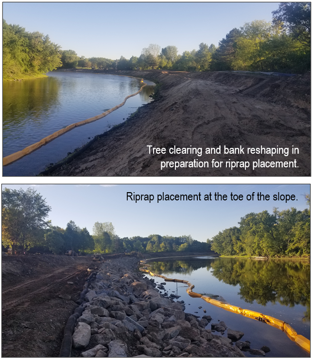
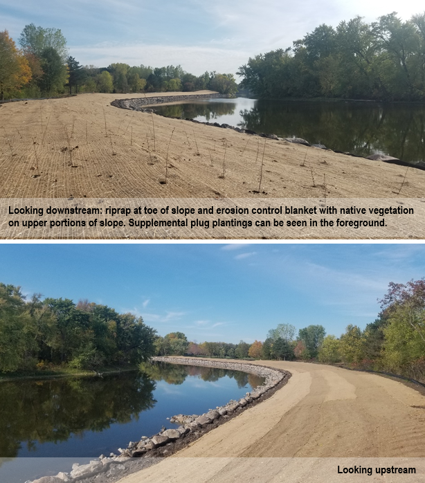
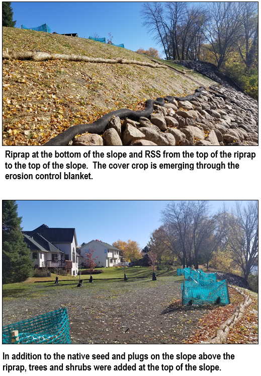
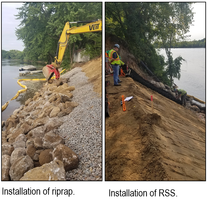
At the most extreme, steel and concrete walls are used to protect valuable infrastructure and roads. Rock riprap is a common practice employed to protect homes near eroding shorelines. In some cases, particularly where no infrastructure is at risk, a vegetative approach can be best. These vegetative approaches often require less equipment and cost much less than hard armoring, and they provide additional habitat benefit for wildlife.
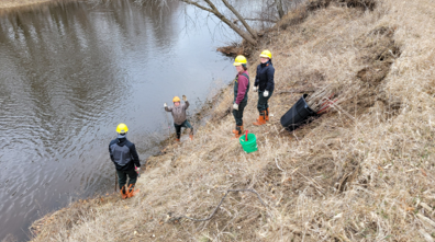
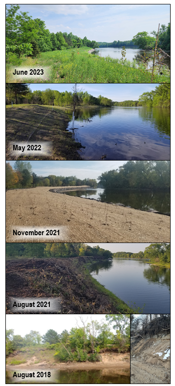
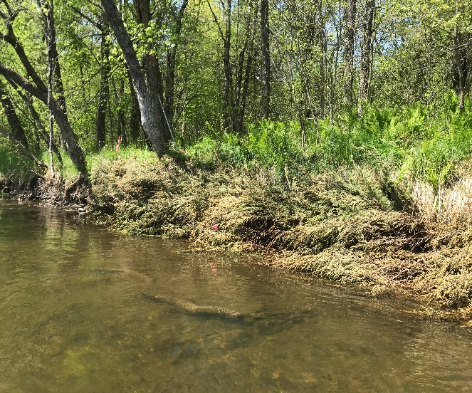
At a new conservation easement along the Rum River in Isanti County, we employed crew members from Conservation Corps MN & Iowa to plant 600 live willow and dogwood cuttings along the toe of an eroding Rum Riverbank. The riverbank is far from any homes or infrastructure. The land behind the riverbank was a corn field that will be planted with native vegetation. Because the risk of loss at this site is so minimal, we opted for a soft, natural approach over expensive hard armoring. The hope is that the planted stakes will take root and grow, establishing dense tree cover along the lower slope. The upper slope will continue to shift until it reaches equilibrium, but if the toe remains in place, the bank will have a chance to heal and fully revegetate over time. Because the investment of time and materials was so low, we can try again if the stakes die from flooding or drought.
For more information, contact Jared Wagner, Water Resource Specialist, at