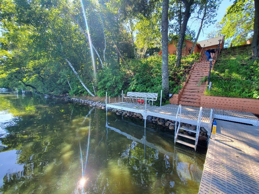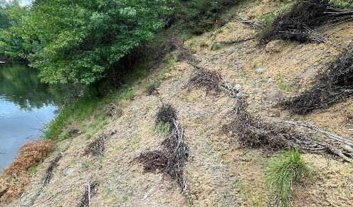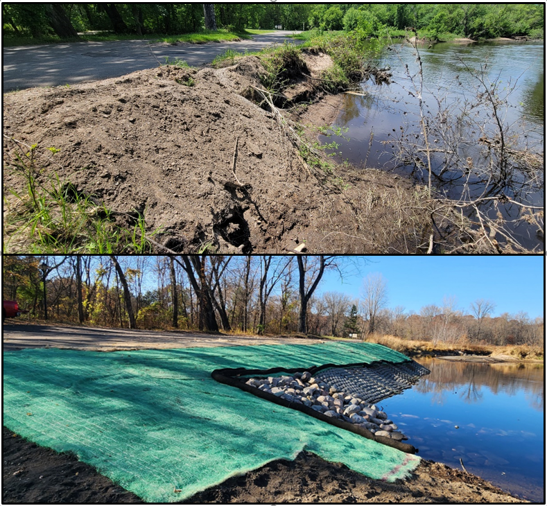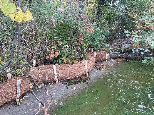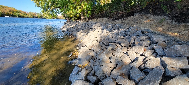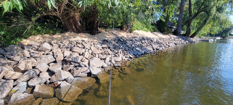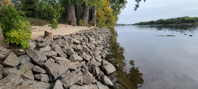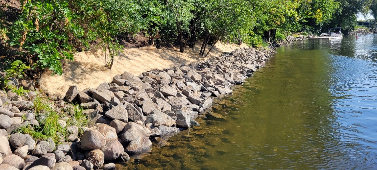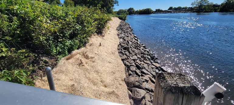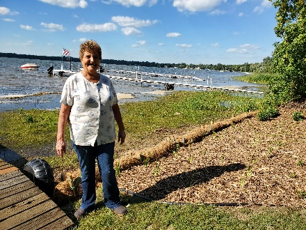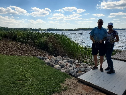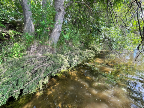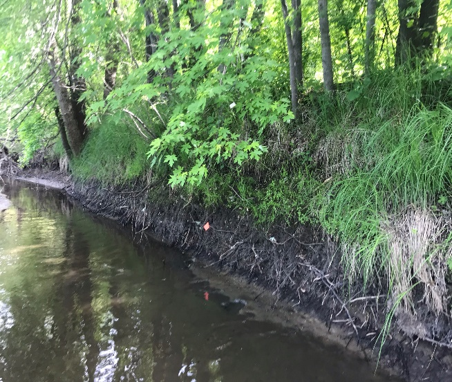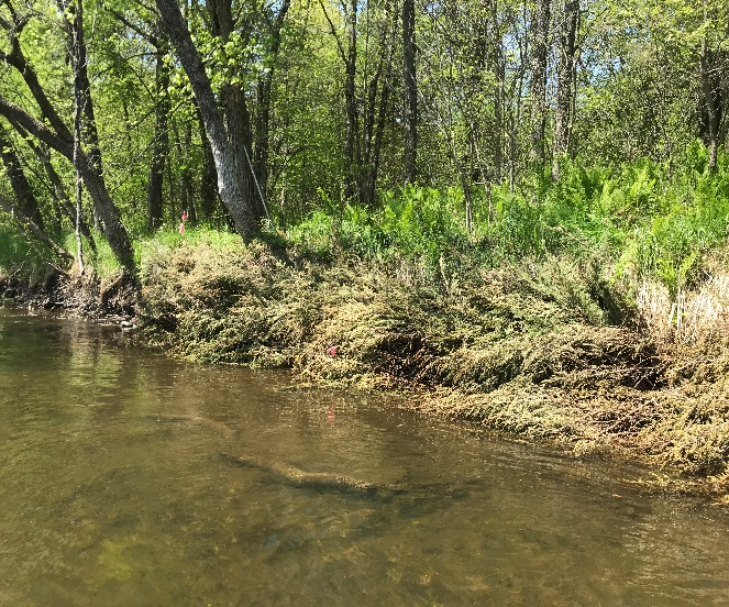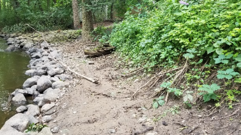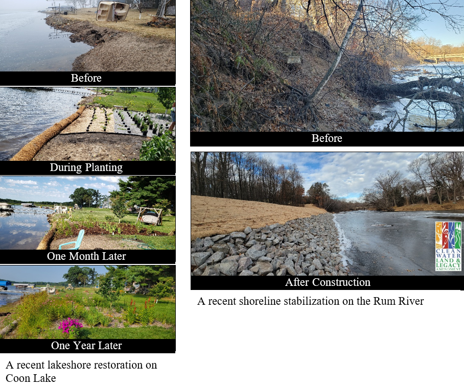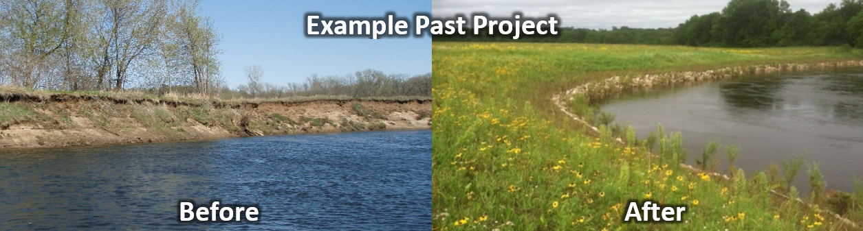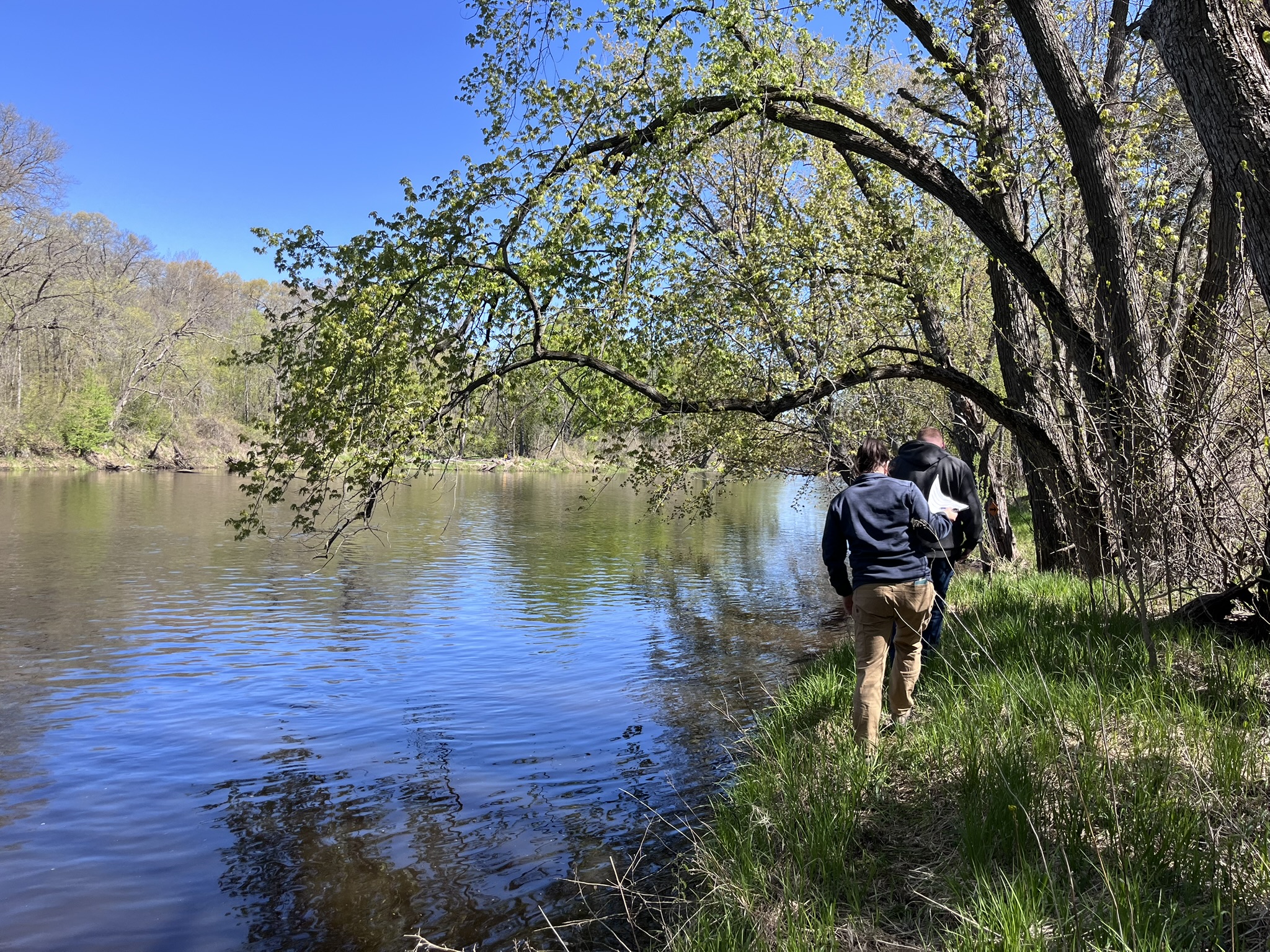
The Rum River has over 7 miles of shoreline with some degree of erosion. Riverbank stabilization practices protect property, enhance shoreline habitat, and improve downstream fisheries by improving water clarity and protecting spawning areas. Cedar tree revetments are among the most cost-effective means of addressing moderate riverbank erosion before it worsens.
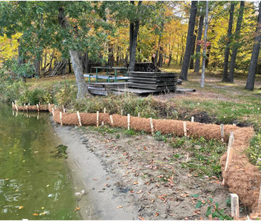
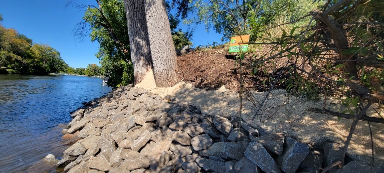
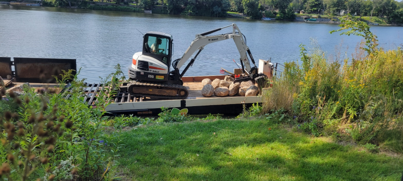
Anoka County Parks was awarded a Conservation Partners Legacy grant to install 2,500 feet of cedar revetment on eroding sections of the Rum River. ACD was contracted by Anoka County Parks and completed this work between 2023 and 2025. ACD overdelivered by installing 2,933 feet of revetment within available funds.
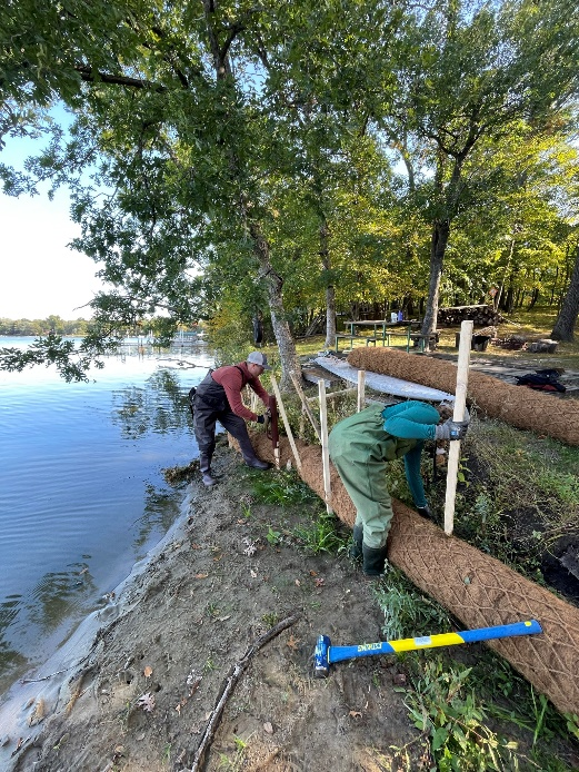
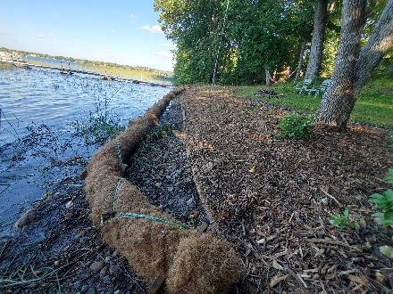
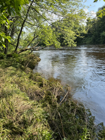
Cedar tree revetments use Eastern red cedar trees anchored along an eroding riverbank to slow the current. This decreases erosion and allows silt and sand to deposit. The deposited material forms a seedbed. By the time the cedar trees have decayed, the bank is stabilized by the roots of the living trees.
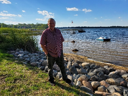
The MNDNR was excited about what they saw and encouraged Anoka County Parks to continue their revetment program, which is now in its 3rd phase. With the support from the state, Anoka County Parks will likely apply for another phase of funding this coming August.
Restoring streambanks and establishing habitat along public riverbanks will benefit the thousands of Anoka County residents who frequent local parks, as well as Rum River enthusiasts each year. For more information, contact Kris Larson, Water Resource Specialist, at