On lakeshores and riverbanks, fluctuating water levels, currents, or wave action can gradually eat away the soil along the water's edge and compromise the ground above. However, any slope – regardless of its proximity to a waterbody – can experience erosion from water runoff. Fortunately, there are steps you can take to mitigate these impacts.
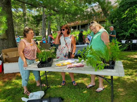
Vegetation is often essential to slope stabilization. Native trees, shrubs, wildflowers, and grasses provide ground cover, slow the velocity of water runoff, and produce a network of deep, interconnected roots, which help lock soil in place. Lawn debris, heavy shade, and invasive buckthorn are common drivers of suppressed plant growth. To manage these challenges, avoid dumping yard waste on sloped areas, prune trees and shrubs to increase sunlight, and remove buckthorn using these techniques. Then, bolster the native plant community with supplemental seeding and/or plantings. Be sure to select species well-suited to your property, and support them as they became established by removing weeds, watering when needed, and covering temporarily exposed soils with erosion control fabric. This seed selection tool, plant finder tool, and native plant encyclopedia can help you select plants well-suited to your site.
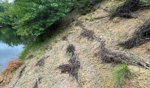
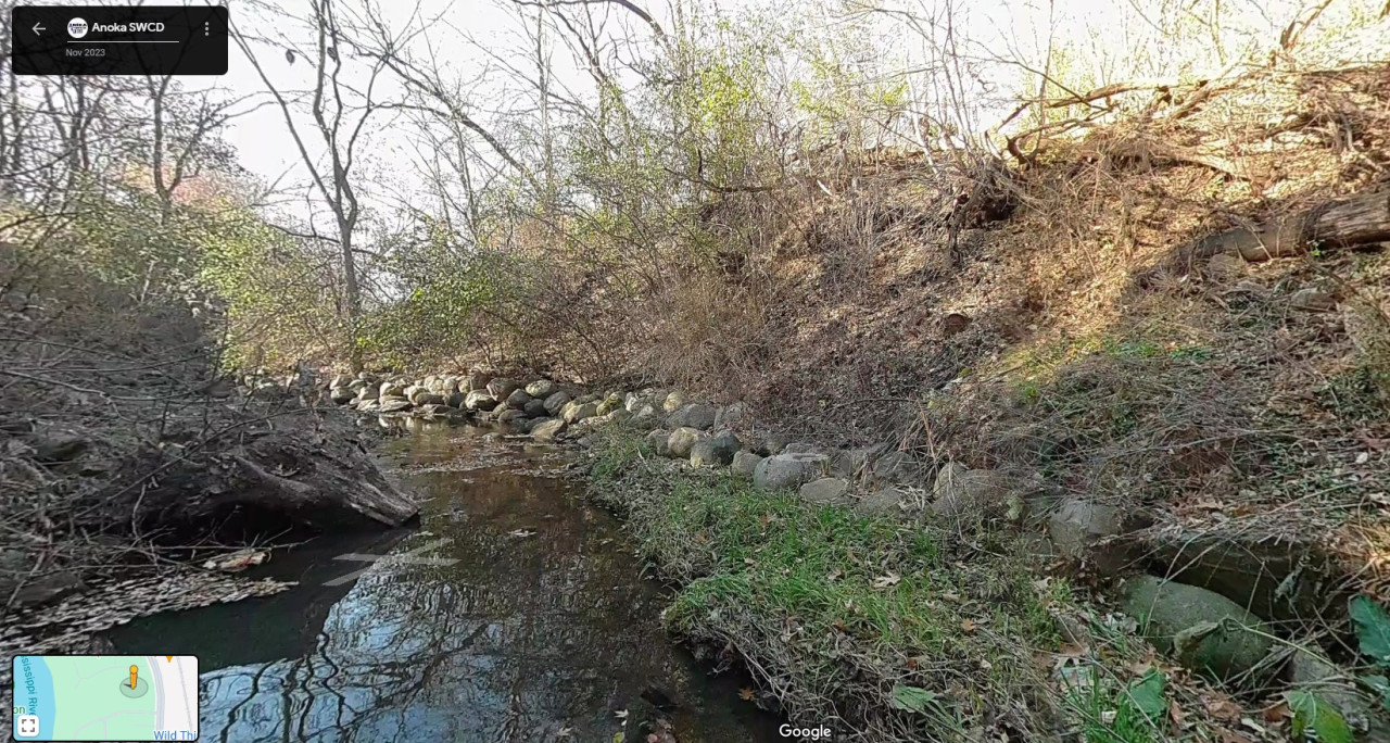
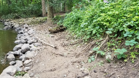
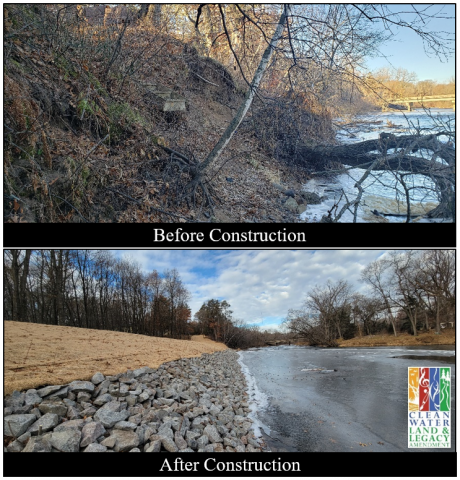
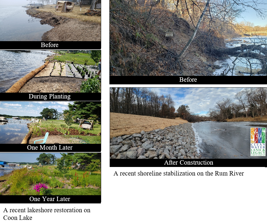
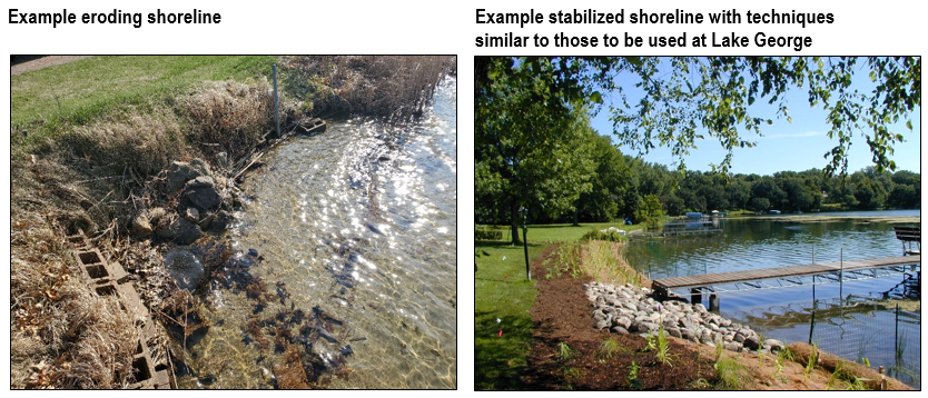
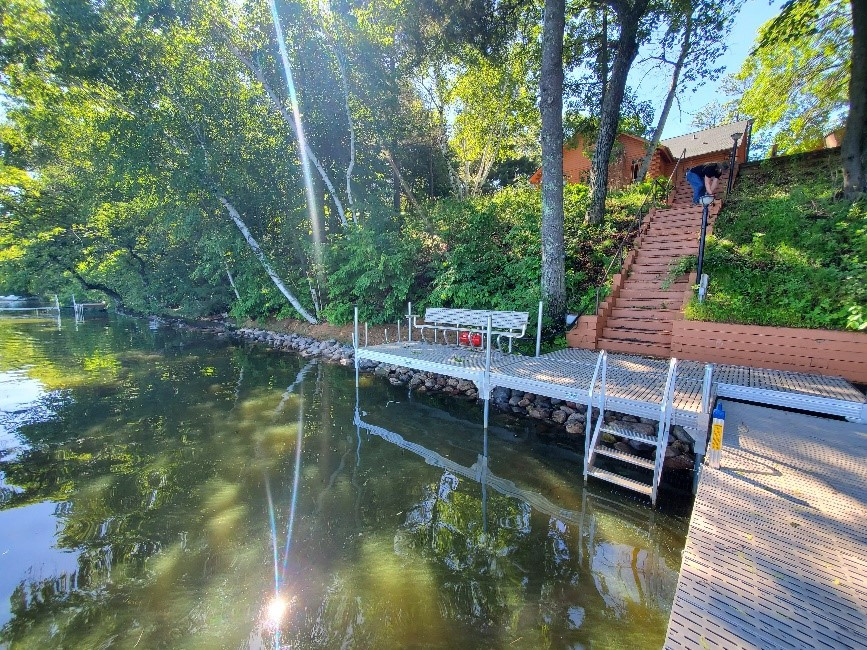
In some cases, additional stabilization elements are needed. Rock rip-rap, coir logs, and tree revetments are commonly used to protect the zone where moving water meets the land and restricts vegetation growth. Excessively steep slopes can be re-shaped to a more stable grade, and brush or straw wattles can be trenched into the slope to slow water runoff and trap soil. Taking early action to stabilize your slope is key to avoiding costlier solutions such as retaining walls or other heavily engineered approaches. For more information contact Breanna Keith, Water Resource Specialist, at