Conservation High-Tech
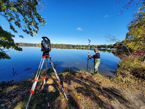
ACD Water Resource Specialist, Kris Larson, using a survey-grade GPS to collect measurements for an upcoming lakeshore stabilization project
Twenty-years ago we designed conservation projects with a tape measure and graph paper. Over the years, ACD has gone high tech. Today we use a survey-grade GPS (shared with neighboring SWCDs) and landscape design software. This allows precise measurements and estimates of quantities. It also allows us to clearly communicate a project's outcomes to landowners and contractors. But we still pull out the tape measure once in a while – it never crashes or fails to connect.
About the author
©
2016 - 2026
Anoka SWCD