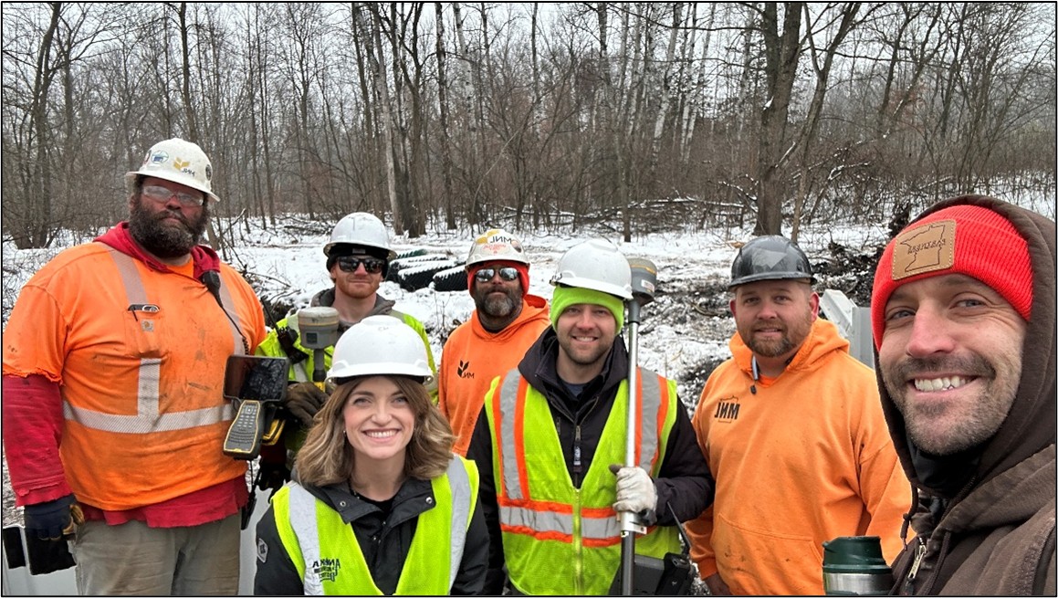
The Minnesota Stormwater Research Council held its inaugural symposium, attended by government entities, engineering firms, and research institutions. The event offered valuable updates and discussions on the current science and management strategies for stormwater ponds.
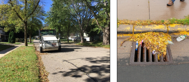
Stormwater ponds are ubiquitous in the landscape, given their use as a go-to management practice since the 1980s. Some are entirely manmade, while others were retrofitted from natural wetlands. Initially, their primary purpose was to mitigate flooding. However, their water quality benefits were quickly realized – particularly their ability to capture solids (such as trash and sediment) and the pollutants that often accompany them. Today, significant effort is devoted to strategies that further enhance stormwater ponds' water quality benefits, most notably by reducing phosphorus levels.
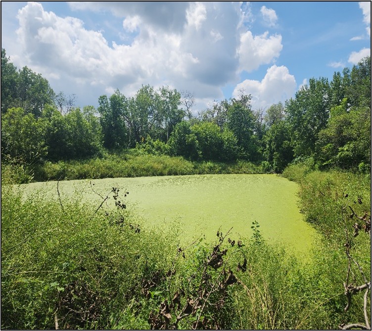
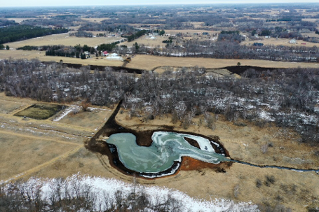
Photo: A stormwater pond dominated by duckweed.
This can be an indicator of high nutrient levels.
Research shows that some stormwater ponds provide minimal nutrient-reduction benefits or can even act as a source of phosphorus. A pond's performance in this realm is difficult to predict, monitor, and correct. While extensive monitoring of a pond's chemistry, biology, and hydrology will paint the clearest picture, sometimes simpler metrics such as duckweed abundance, wind shelter, volume, age, and soil composition can provide valuable insight. Where problems exist, best management practices, such as dredging or vegetation management, can help.
Pond maintenance is often logistically challenging and requires a coordinated effort. Partnerships among pond owners (typically cities or HOAs), adjacent landowners, private firms, and local government entities with expertise is often essential to improve pond function. Learn more about stormwater ponds HERE or by watching the "Our Stormwater Pond Connection" video. For more information, contact Breanna Keith, Water Resource Specialist, at This email address is being protected from spambots. You need JavaScript enabled to view it..