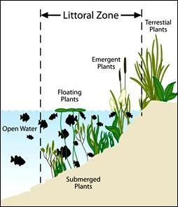
The University of Minnesota, St. Anthony Falls Laboratory (SAFL), conducted a study that researched three distinct hydrodynamic phenomena that are produced by common recreational powerboats and that have the potential to impact the water column and lakebed: 1) bow and stern pressure waves, 2) transverse gravity waves, and 3) propeller wash (Figure 3).
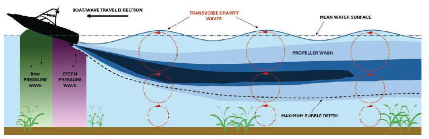
The study examines common boat designs, their ability to generate certain forces within the lake, and how deep into the water column these forces penetrate. SAFL researchers found that impacts to the lakebed are directly linked to how the boat is being used. Recreational boats have long produced damaging waves, but in recent years, the SAFL has recognized that the science has not kept pace with advances in boat technology. As powerboats continue to increase in size, horsepower, and new wake-enhancing technologies. This has led to concerns about the impacts of boating on the aquatic environment. In particular, the impacts of wakeboats operating in wakesurfing mode are a topic of intense public interest.
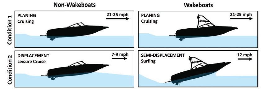
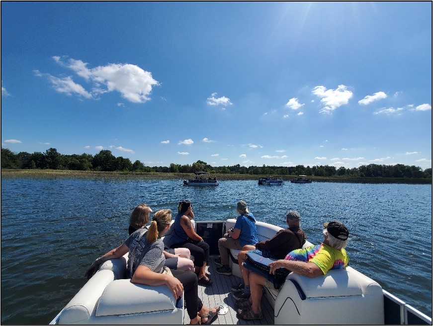
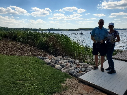
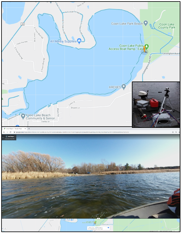
The boats were tested under conditions typical of their usage (Figure 1). For the non-wakeboats (deck and bowrider), this was displacement mode (leisure cruise) and planing mode (cruising), and for the wakeboats, this was semi-displacement mode (surfing) and planing mode (cruising). The boats were driven directly over the measurement sensors (Figure 2) a total of five times for each operational condition to gather replicate data for statistical analysis.

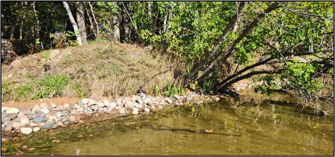
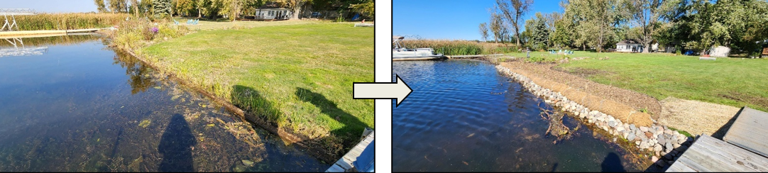
Although not fully visible at the water surface, powerboats can generate large waves and currents that extend deep into the water column and to minimize impacts to the lakebed, SAFL provides the recommendations below for recreational powerboats:
- Depth of operation for cruising: >10 ft of water.
- Depth of operation for leisure cruising: >10 ft of water.
- Depth of operation for wakeboats for surfing: >20 ft of water.