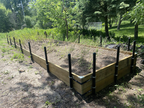
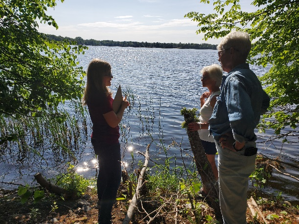
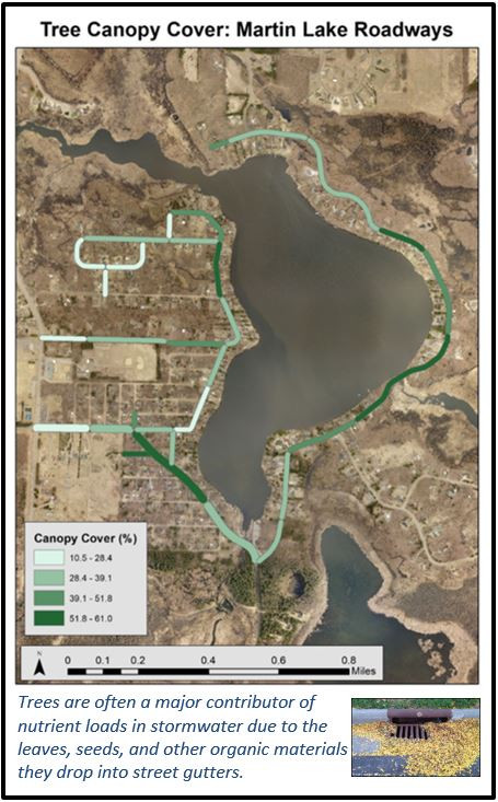
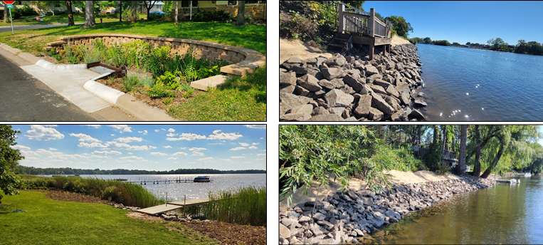
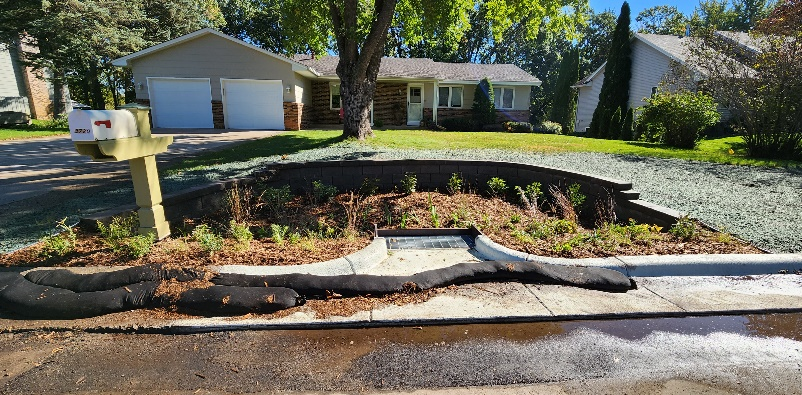
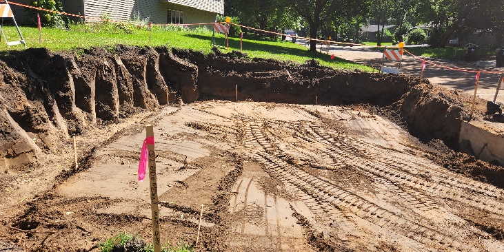
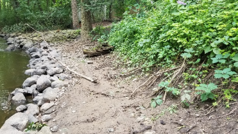
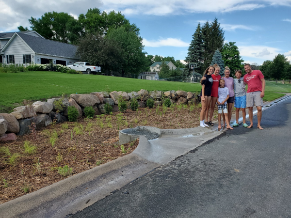
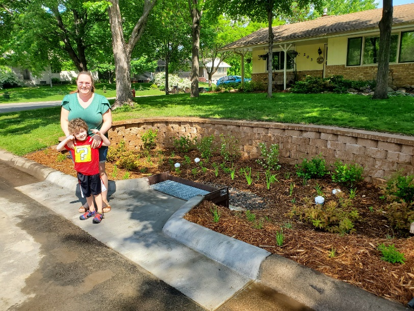
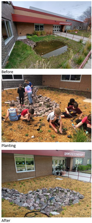
Six rain gardens will be constructed on residential properties in a City of Fridley neighborhood adjacent to Rice Creek in 2022. The properties were identified as priority rain garden locations in the Lower Rice Creek Stormwater Retrofit Analysis (SRA) completed by Anoka Conservation District in partnership with RCWD.
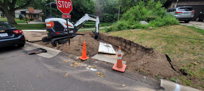
The priority rain garden locations identified in the SRA were used to target landowners for rain garden installation in conjunction with a mill and overlay project in the same neighborhood. Based on landowner interest, ACD provided site assessments and designs, which resulted in the six rain gardens to be installed.
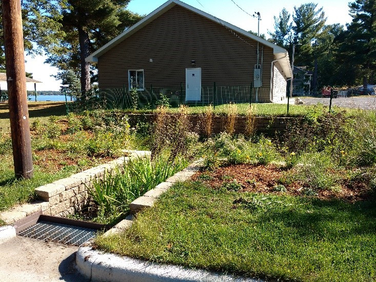
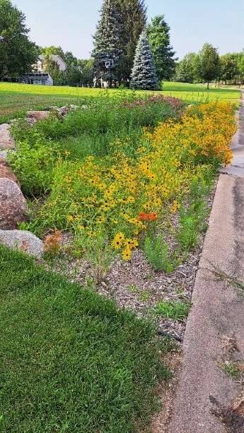
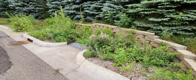
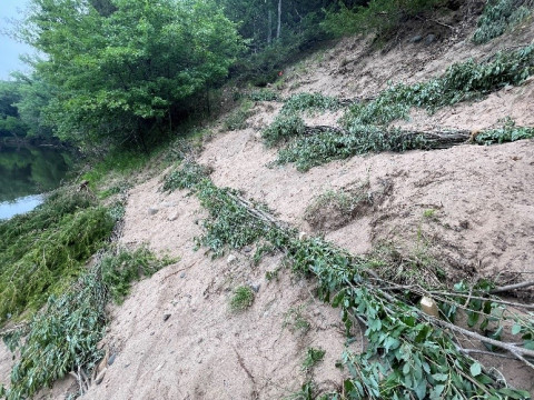
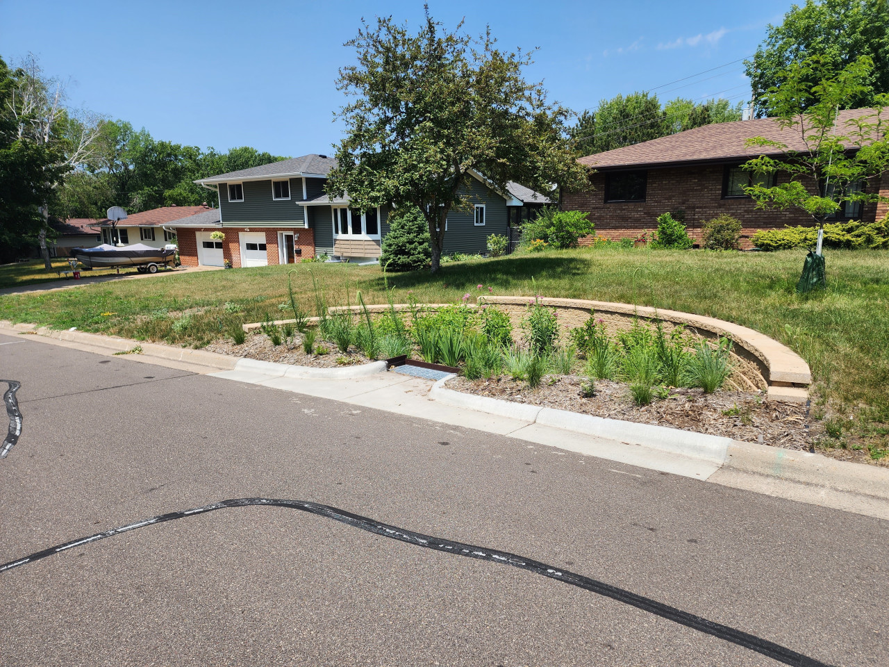
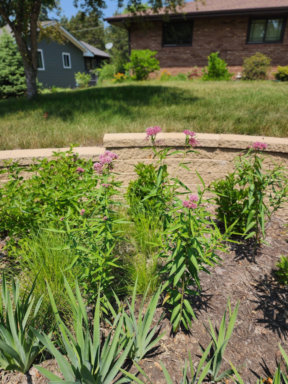
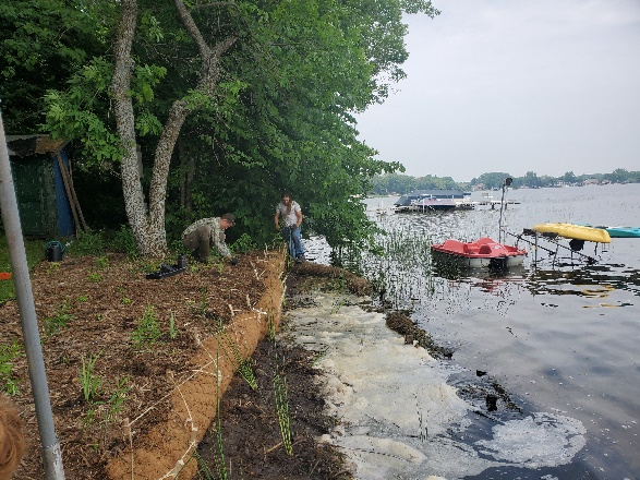
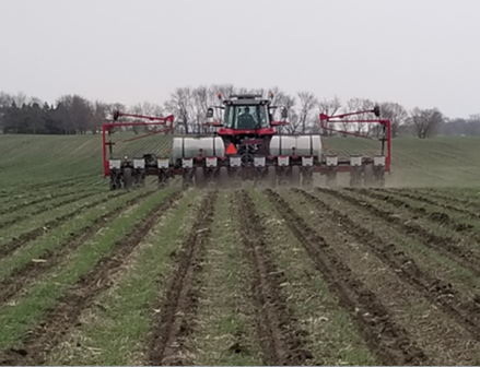
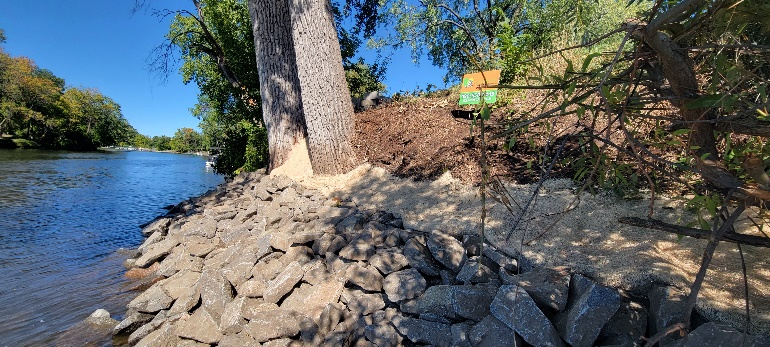
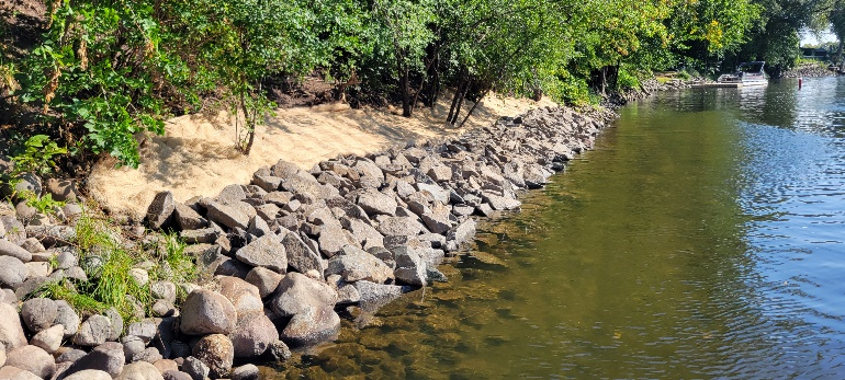
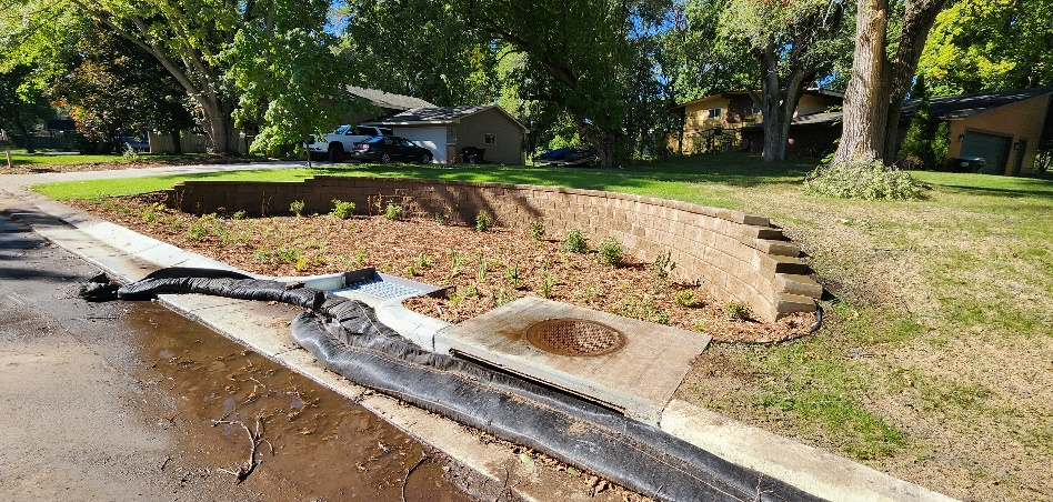
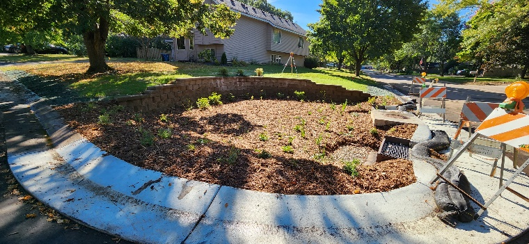
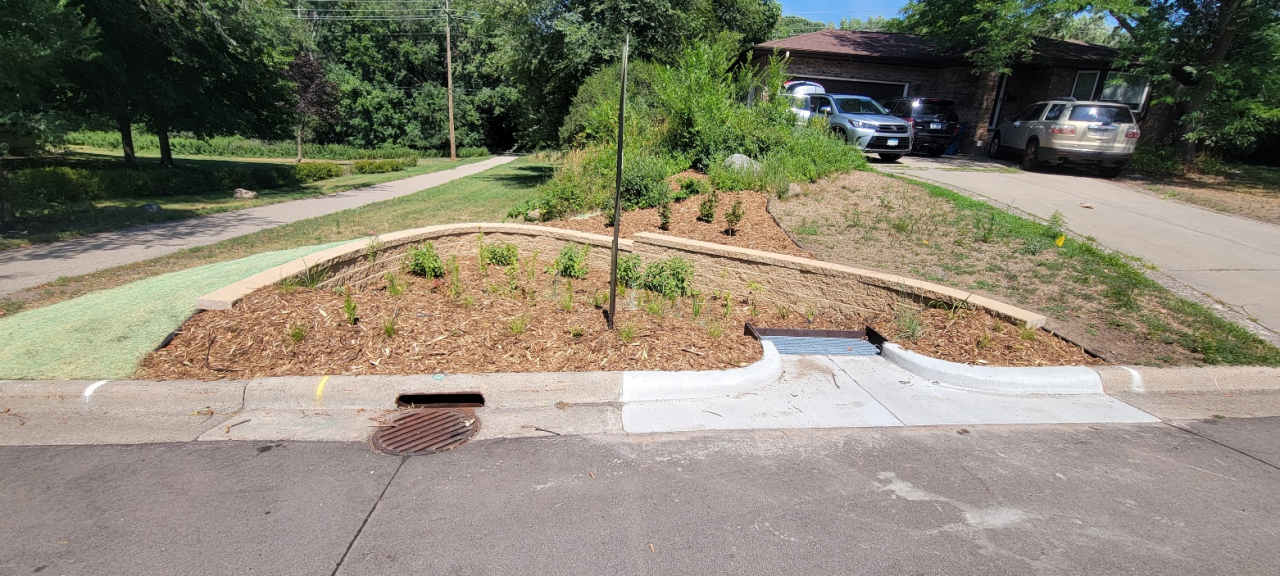
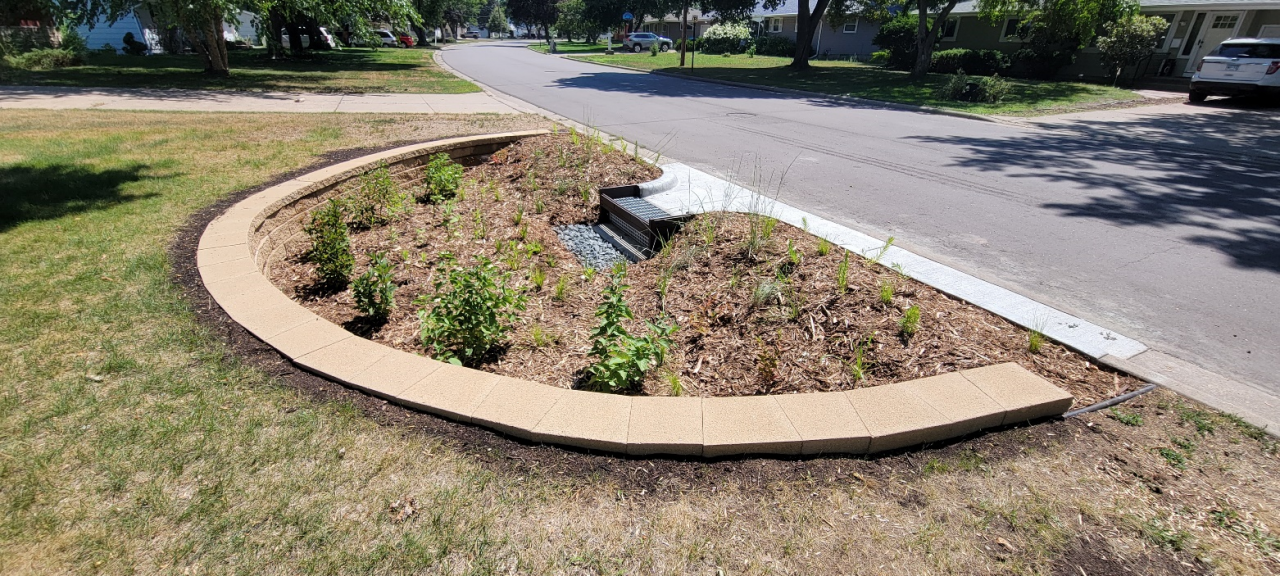
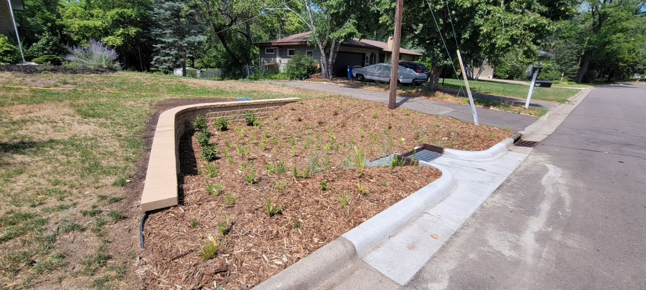
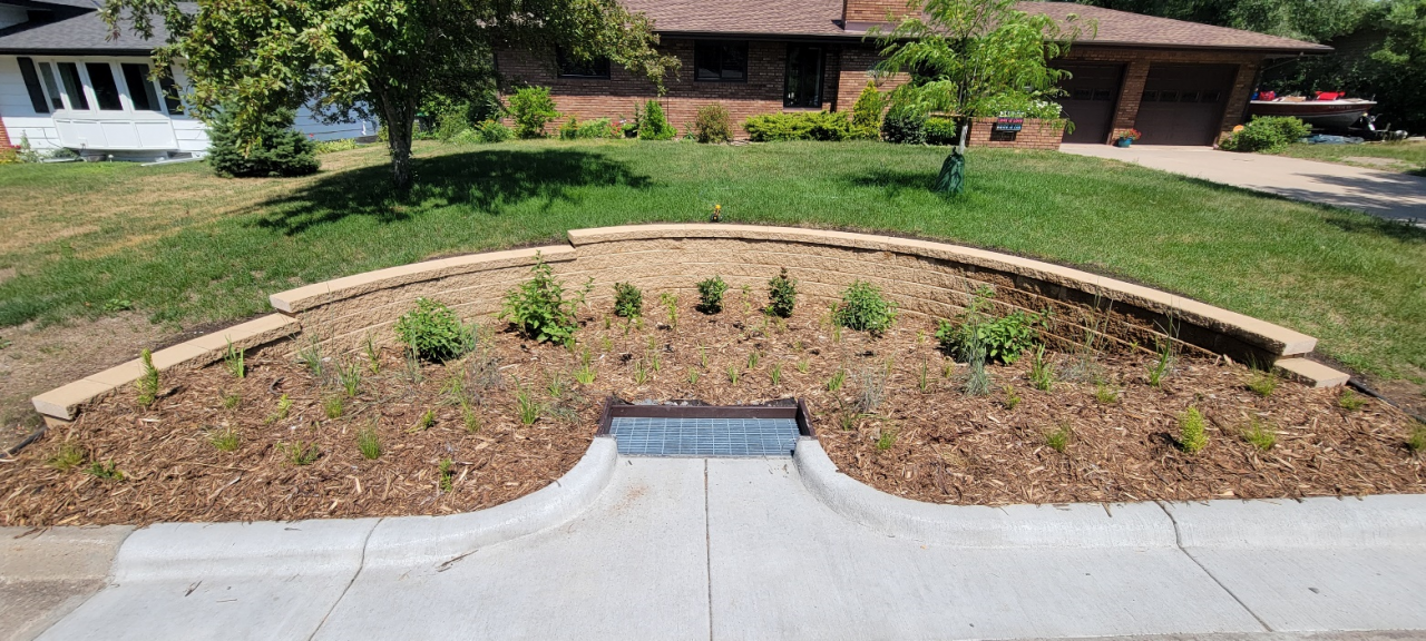
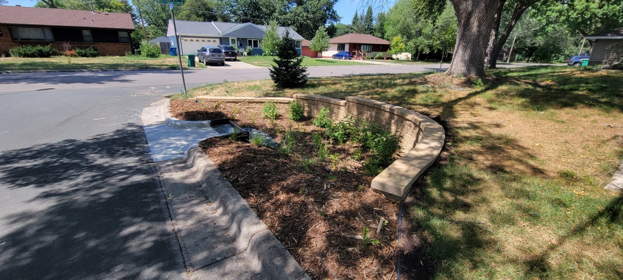
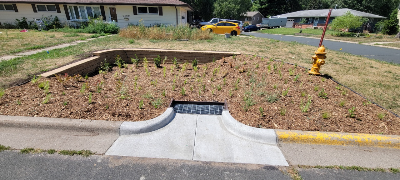
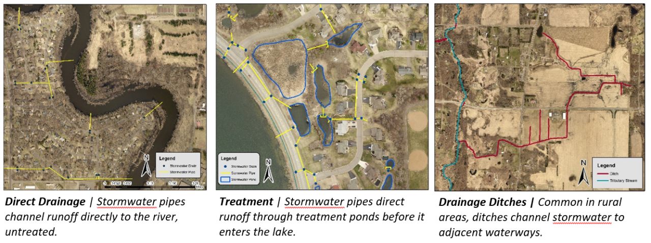
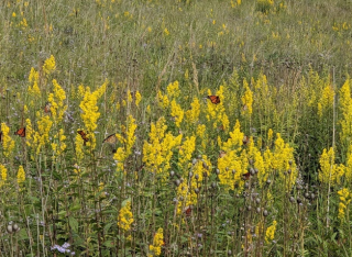
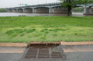
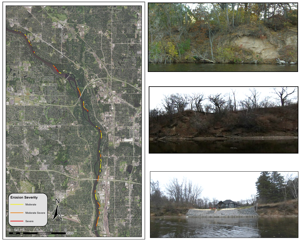
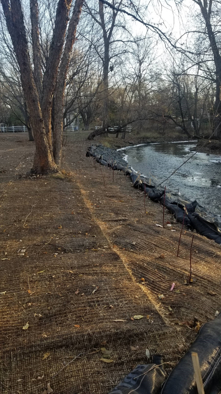
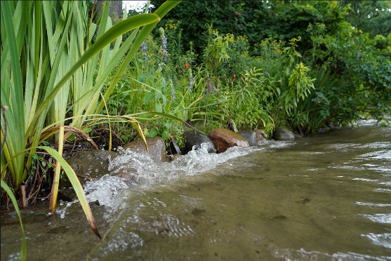
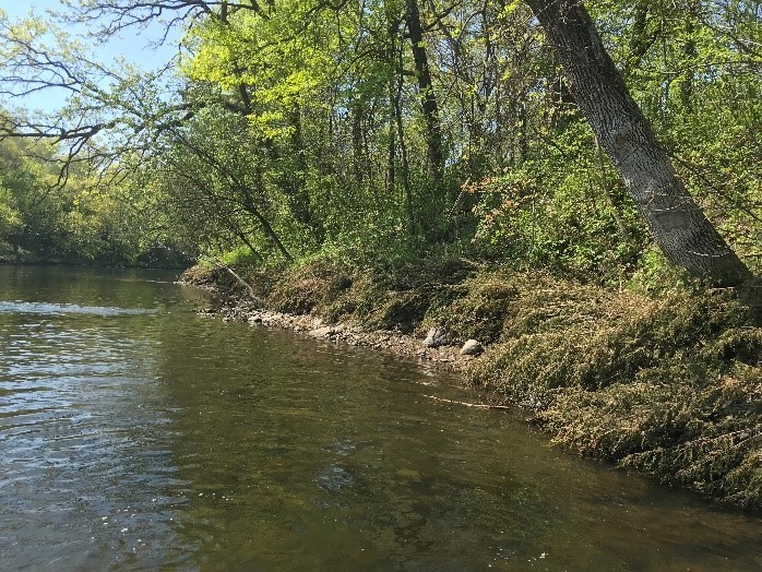
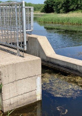
Stormwater runoff that flows by each of the rain garden locations is currently piped directly to Rice Creek. Curb-cut rain gardens at these locations will provide reductions in runoff volume, total suspended solids, and total phosphorus reaching Rice Creek, Locke Lake, and ultimately the Mississippi River. Cumulatively, the contributing drainage area to the six proposed rain garden locations is nearly five acres and comprised of medium-density residential land use.
Because this area of the watershed is fully developed, large regional options for treatment are limited. The six proposed rain garden locations are optimally positioned because they have large contributing drainage areas for the neighborhood, provide sufficient space for appropriately sized rain gardens, have minimal utility conflicts, and either have appropriate underlying soils for infiltration or are adjacent to a storm drain for filtration.
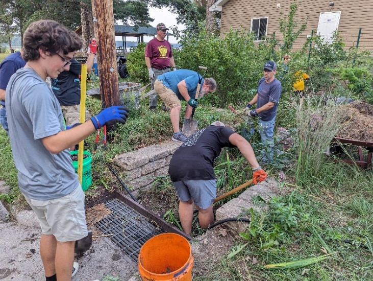
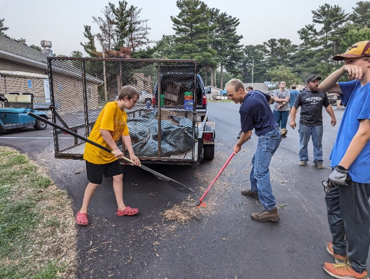
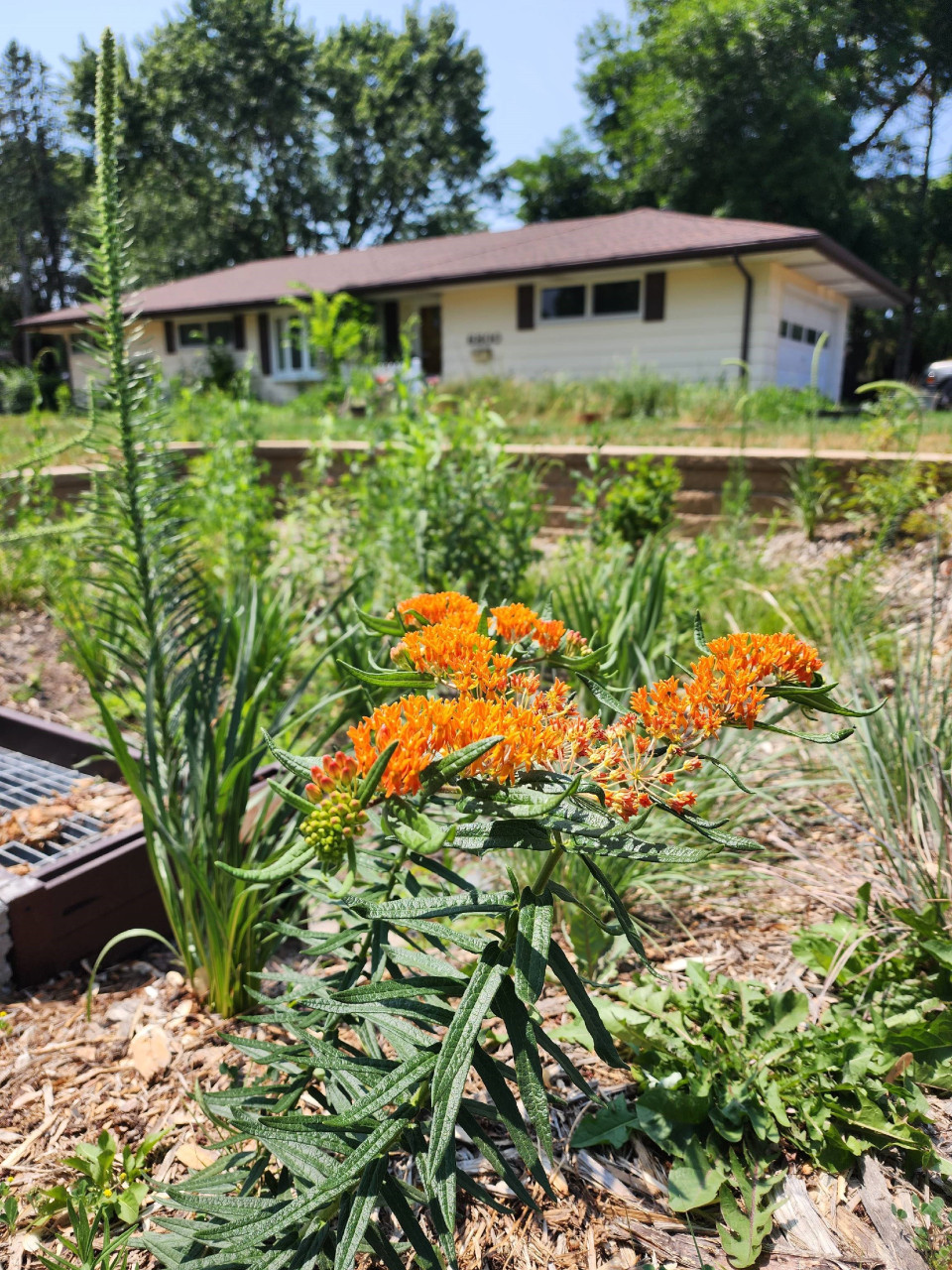
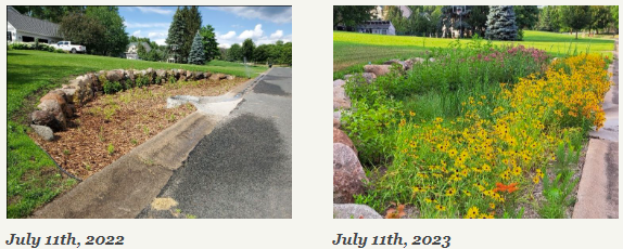
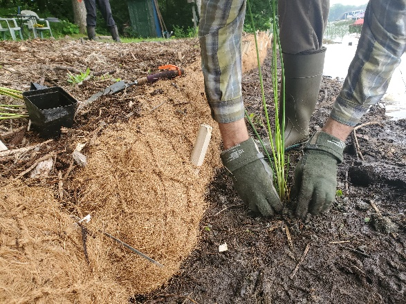
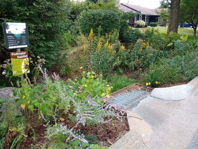
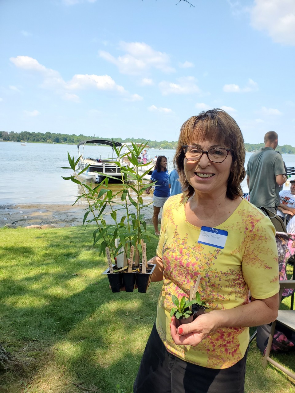
ACD staff worked with landowners of the six properties to size rain gardens appropriately for each contributing drainage area and position the rain gardens in approved locations. Designs accounted for existing landscaping, yard slope, underlying soils and utilities, and landowner requests. Planting plans were also developed in collaboration with landowners to incorporate requested native species.
The project will be funded through a combination of the Rice Creek Watershed District's Water Quality Grant Program and the City of Fridley. The landowners will be responsible for ongoing maintenance of the rain gardens.
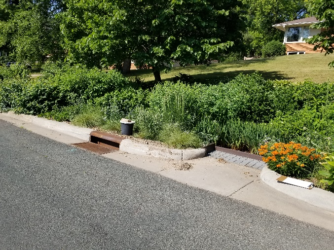
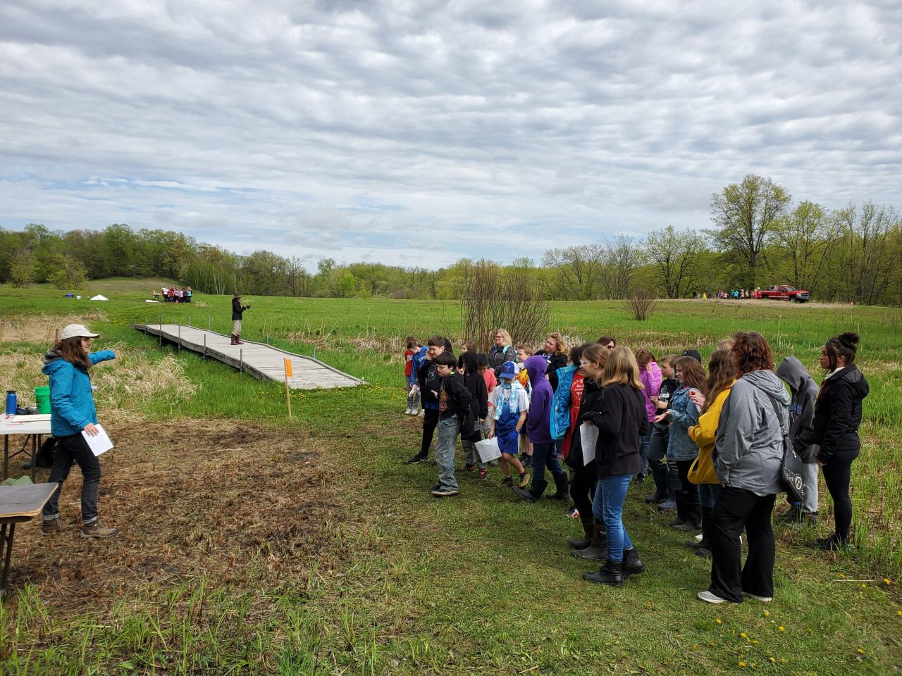
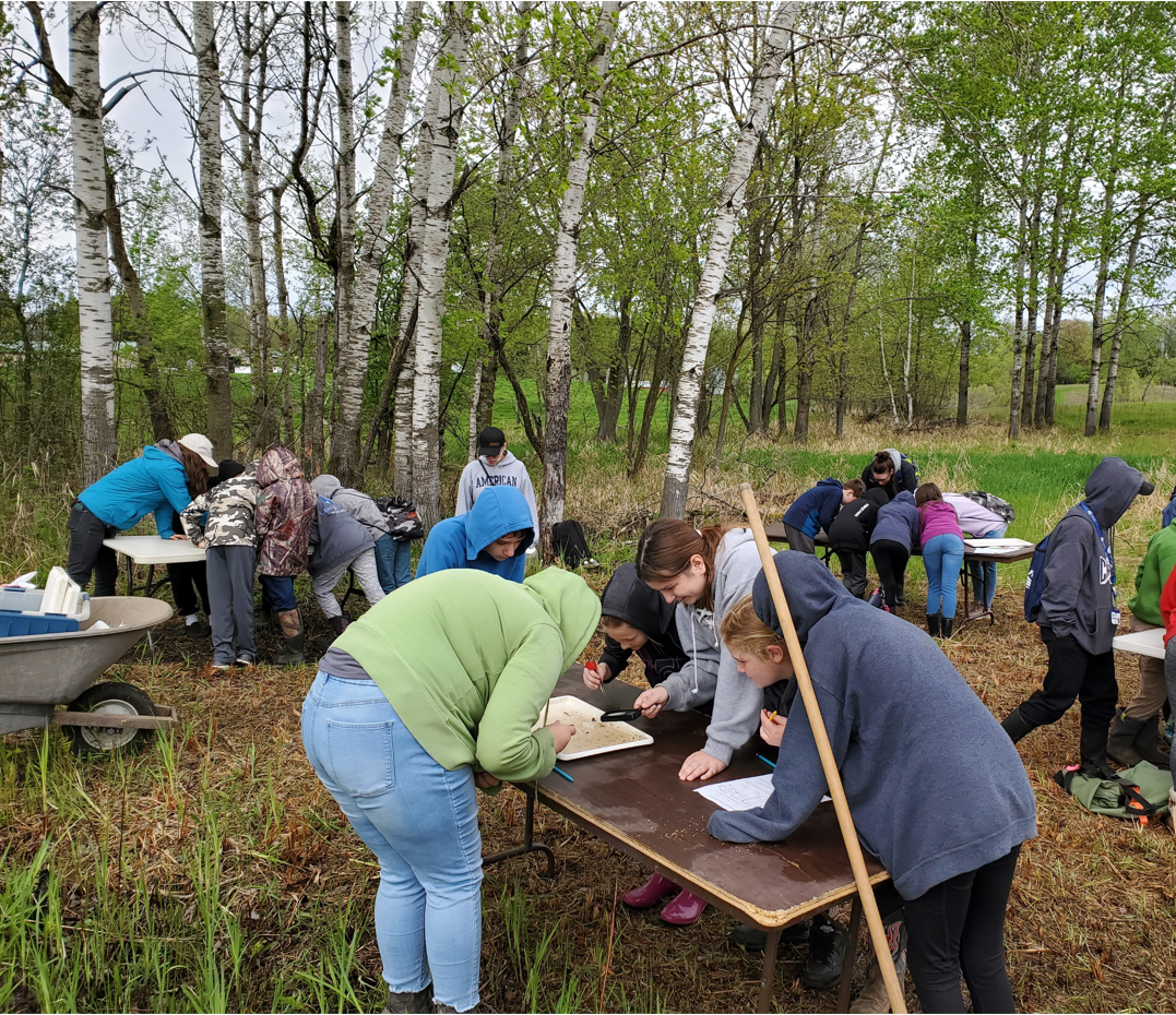
Watch for additional updates as the rain gardens are installed in 2022. To see other rain gardens already installed throughout Anoka County, please see the virtual project tour on ACD's website.