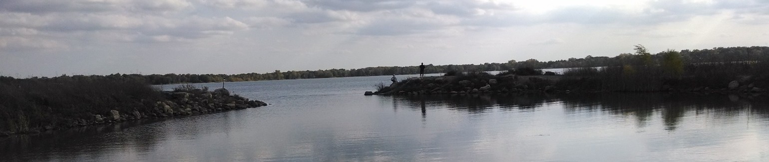
Photo: View looking out across Lake George from the public access with two people fishing from a rocky point.
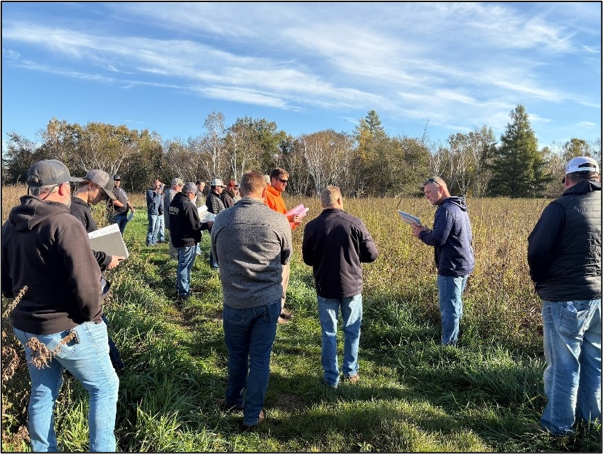
This October held the 2025 annual joint meeting of the Lake George Improvement District and Lake George Conservation Club. Members, as well as representatives from ACD, MNDNR, and Lake Restorations Inc., gathered to discuss lake water quality monitoring, aquatic vegetation management efforts, and cost-share opportunities for shoreline enhancement. A couple of highlights from this year include:
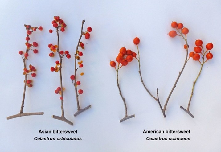
- Curly leaf pondweed, a prolific invasive plant, has been almost non-existent in vegetation surveys in recent years. A few plants were found in mid-summer 2025, so management of this plant, along with Eurasian watermilfoil, will continue.
- The native plant community remains robust, with some species of native pondweeds transitioning from non-existent in 2018 to prevalent in 2025, according to the MNDNR vegetation survey data.
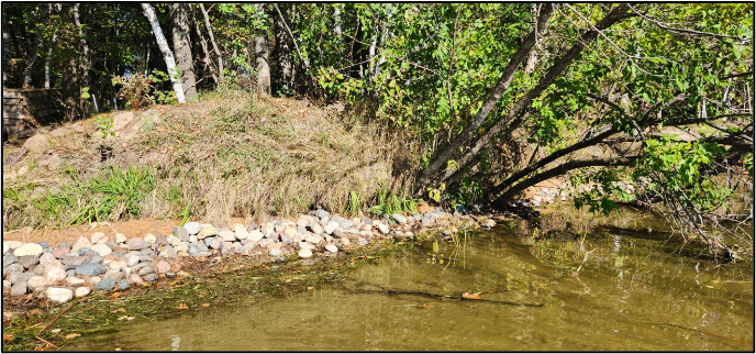
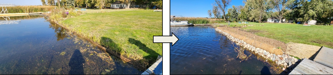
- New lakeshore cost-share opportunities will be available next year. Outreach will begin this coming winter or spring. The goal of these projects is to mitigate shoreline erosion using bioengineering practices with rock only as needed.
858 Hits