METRO-WIDE TRAINING PROVIDED ON URBAN SUBWATERSHED ANALYSIS PROTOCOL

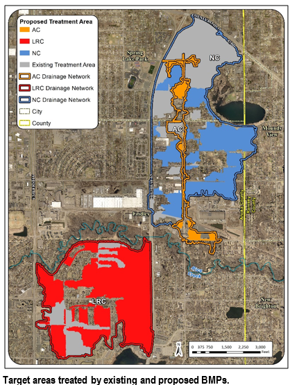
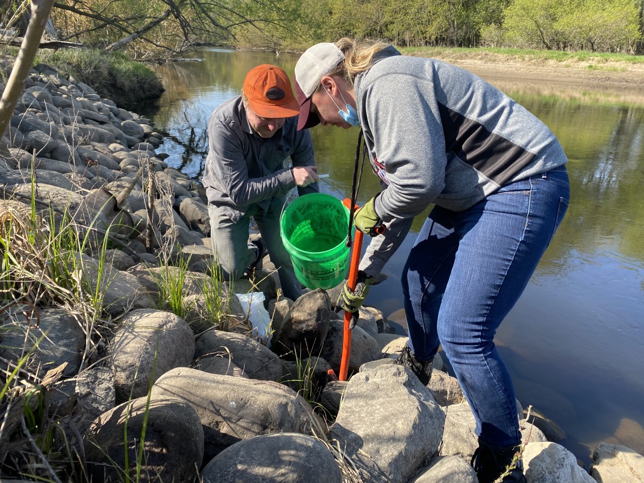
The Metro Conservation Districts (MCD) received a Clean Water Fund Accelerated Implementation Grant to conduct analyses that identify cost-effective water quality improvement projects for priority waterbodies.The Subwatershed Analysis (SWA) process includes protocols for both rural and urban subwatersheds.Anoka Conservation District (ACD) employee Mitch Haustein provided training on the urban protocol and modeling process to over 30 staff from counties, soil and water conservation districts, and watershed districts throughout the 11-County Metro.

Since the SWA program began in 2010, over 60 analyses have been completed throughout the 11-County Metro that have identified more than 4,000 projects and resulted in the installation of hundreds of cost-effective water quality improvement projects.

The $200,000 grant awarded to MCD, which requires a $50,000 match, will result in the completion of an additional 15 SWAs.Previously completed SWAs in Anoka County are available on ACD's website (www.AnokaSWCD.org).

  1830 Hits

Our Groundwater Connection: Contamination Video

The second in a series of videos about groundwater was published on March 3rd, 2020. "Our Groundwater Connection: Contamination" is a follow-up to the original "Our Groundwater Connection" video published on June 11th, 2019. The video builds on the information viewers learned from the first video, focusing on how groundwater becomes contaminated and what we can do to prevent contamination. The video explains different sources of pollution, how pollutants travel and build up over time, and what happens when wells become contaminated. The video concludes with the message that "everyone has the responsibility to stop contamination from getting into our groundwater. When we work together to prevent pollution, we can ensure clean drinking water now, and for many generations to come."

The project was made possible because members of the Water Resource Outreach Collaborative pooled their resources to create a high quality product with minimal financial stress on any one organization. Partners from Washington County Public Health and Environment and the Minnesota Department of Health also provided input and support for the project.

On March 3rd, the video was debuted at the MN Rural Water Association Annual Technical Conference during a mini-session presentation by ACD's Outreach and Engagement Coordinator.

Watch on the video on YouTube by searching "Our Groundwater Connection: Contamination," or by clicking here: https://youtu.be/gRSHJpe8pq8

  2148 Hits

Golden Lake Project Water Quality Improvement Project

2019 marked the completion of a large scale water quality improvement project designed to removed excess nutrients form stormwater prior to it discharging into Golden Lake. Golden Lake is located in the City of Circle Pines and has been designated as being impaired by nutrient contamination. Excess nutrients lead to high algae growth and low water clarity. This project was completed by a partnership of the City of Circle Pines ($70,000) and the Anoka Conservation District ($12,000) with financial contributions from the Rice Creek Watershed ($50,000) District and the Clean Water Fund of the Clean Water Land and Legacy Amendment ($467,968)

Although it looks like little more than a sand volley ball court, the project relies on precise chemistry and physics. The project pumps water from a stormwater pond just upstream of Golden Lake and directs that water through a sand filter that is enhanced with iron filings. The iron filings chemically bind to the nutrient pollution. The clean, filtered water discharges to an old ditch alignment that goes to Golden Lake. When functioning per the design, the project should remove 40-60 pounds per year of phosphorus for 25 years, which gets us 50% of the way to our goal for Golden Lake.

Enter your text here ...

  2107 Hits

2019 Precipitation in Minnesota

2019 was another banner year for precipitation in Minnesota, with over 20 individual annual precipitation records set, and the state turning in its wettest year on record.

Precipitation totals for the year exceeded 30 inches over all but about 5-10% of the state, mainly in far northern Minnesota, with totals exceeding 50 inches in parts of southern and southeastern Minnesota. Well over half of the state was 12-20 inches (or 50-70%) wetter than normal. Annual surpluses of that magnitude over such a large area contributed to 2019 being Minnesota's wettest year on record, on a statewide-average basis, with an average of 35.51 inches. This eclipsed the old record of 33.93 inches, set in 1977.

Although no climate observing station was able to break the statewide individual annual precipitation record of 60.21 inches set by Harmony in 2018, many stations with over 50 years of observations did break their own annual precipitation records. Rochester International Airport led the pack with 55.16 inches, breaking its old record by more than 11 inches.

The Twin Cities International airport, part of the longest station history in the state, had just broken its record in 2016, but broke it again in 2019, with 44.17 inches. Other records fell throughout the state. The majority of these stations broke records that had been set this decade.

Even closer to home, the ACD has utilized the precipitation data collected by our volunteer observers to assist with putting our monitoring well data in context. We have observed sustained wetland hydrology because of the abundance of precipitation. How this will affect how wetlands are managed in the present and future will need to be addressed by the current wetland regulatory rules and by utilizing the data we collect when reviewing wetland delineations.

This information is provided at the DNR Climate website:https://www.dnr.state.mn.us/climate/journal/top-weather-and-climate-stories-2010s.html

Here is a partial list of the records set this year.


Station

2019 Precip records (in.)

Previous record(yr.)

Rochester

55.16

43.94 (1990)

Owatonna

53.50

48.40 (2016)

Zumbrota

48.60

45.52 (2010)

Lake City

43.85

43.59 (2002)

Minneapolis - St. Paul

43.17

40.32 (2016)

Mora

43.08

41.63 (2010)

U of M St. Paul

42.95

41.67 (2016)

St. Cloud

41.92

41.01 (1897)

Itasca U of M

37.59

35.64 (1985)


  1832 Hits

ACD Receives Grant for Abandoned Well Sealing Cost-share Program

In Anoka County, 330,000 residents (94% of the population) depend on groundwater for drinking water, using about 12 billion gallons annually.

In 2015, Anoka County identified more than 2,300 properties in Drinking Water Supply Management Areas (DWSMAs) that have a high potential of having an unused/unsealed well (see map to left). These abandoned wells pose a risk to human health by providing a direct, unmaintained conduit where contaminants, such as pesticides, nutrients, heavy metals, salts, hydrocarbons, and pathogens, can be introduced into groundwater drinking water supplies.

Anoka Conservation District (ACD) was awarded a Clean Water Fund grant to coordinate a cost-share program to financially incentivize Anoka County property owners to hire licensed professionals to seal abandoned wells in high priority areas (i.e. within DWSMAs).Through targeted outreach, ACD will identify landowners interested in participating, and the program will provide funding to seal up to 125 abandoned wells.


  2000 Hits

ACD Awarded a State Grant for Carp Mgmt. at Linwood & Martin Lakes

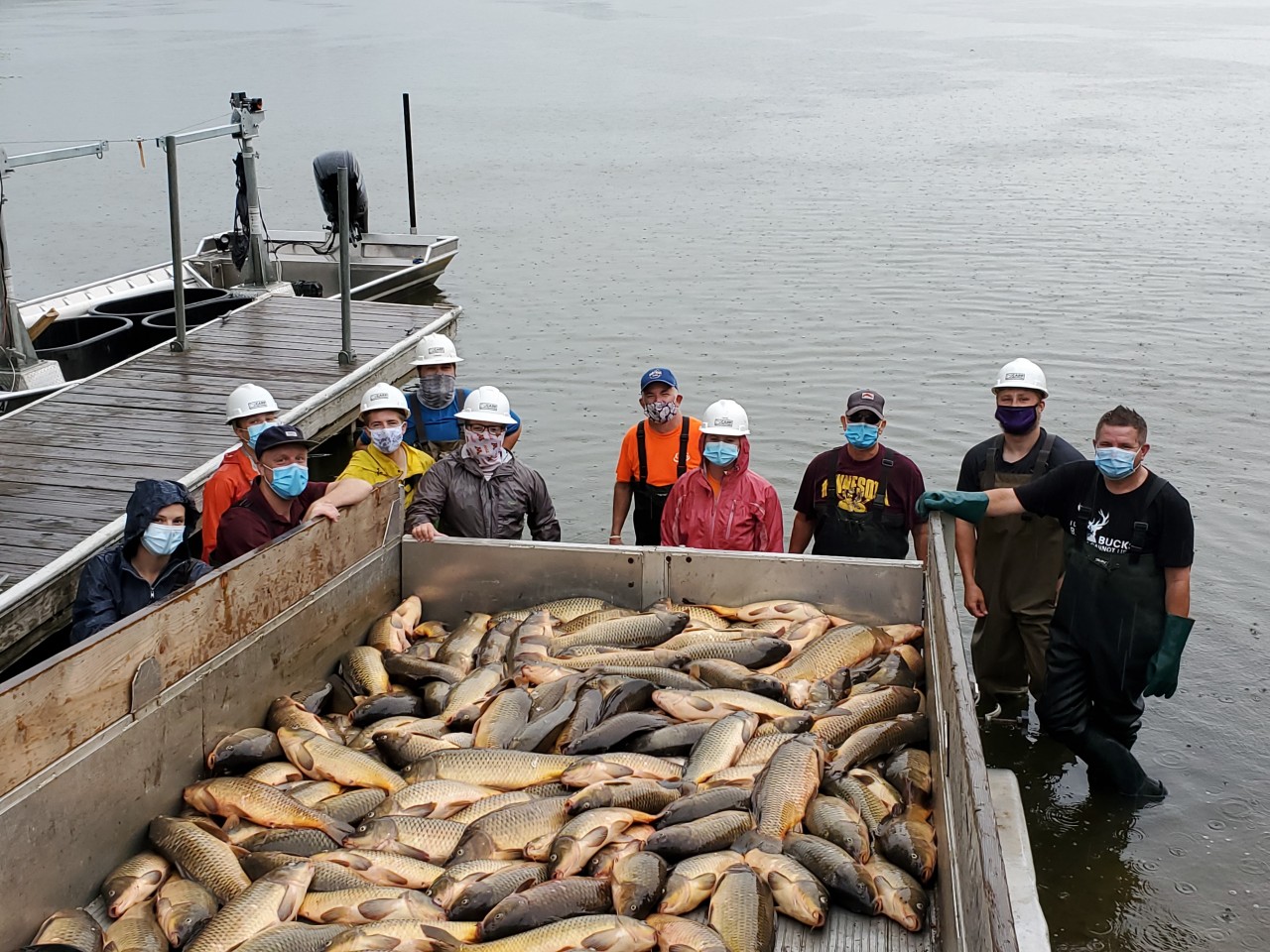
A State grant has been awarded for carp management at Linwood, Martin and Typo Lakes and is set to begin in 2020. This $148,000 grant is funded through the Clean Water Fund and will build on the successes of the current carp management program. Contributions from the Martin Lakers Association, Linwood Lake Association, and the Sunrise Watershed Management Organization will assist in funding the grant. ACD will be the grant recipient and help coordinate partnerships between private contractors, volunteers, and local organizations. The state took notice of the success the current program is having and saw that continuing work in this area of Anoka County should be a priority, ranking the project #3 out of nearly 100 applications statewide​.

Carp management over the last 3 years, funded by a different grant, was able to remove enough carp from the lakes to reach the halfway mark of the total reduction goal. Similar techniques will be continued over the next 3 years. A private contractor will develop management plans specific to each lake. Large box-nets will be installed in priority areas and be baited with bags of cracked corn. Throughout the season the nets will be harvested by the contractor and local volunteers. The nets will be maintained by residents who live near the harvesting sites and ACD staff​.

Carp populations have the ability to grow quickly and can be devastating to overall lake health if left unmanaged. This grant is focused on improving water quality, help reduce seasonal algae blooms and improve the habitat and life cycle for other game fish.

This grant is the fruition of hard work and support from many individuals and organizations. By continuing to plan and build strong local partnerships, these lakes are on track to meet management goals and prevent carp population increases that would likely cause declining water quality.

If you live on Linwood, Martin or Typo Lakes and would like to learn more about the program or would like to inquire about volunteering, please contact the ACD office. (763) 434-2030.

  1768 Hits

Natural Resources Management Often Starts With a Party

Managing natural resources is mostly about engaging people.While one landowner can make a change, groups of people can make big change.If you want to gather people to a cause, you'll need a party.

At the Anoka Conservation District we have the pleasure of being invited to many such parties.Lake associations, sporting groups, and civic groups gather people to summer barbeques, fall bonfires and winter fundraisers.Ideas for natural resources management are developed.Enthusiasm spreads.Funds are raised.Trusting relationships grow.It's arguably the foundation of natural resources management.

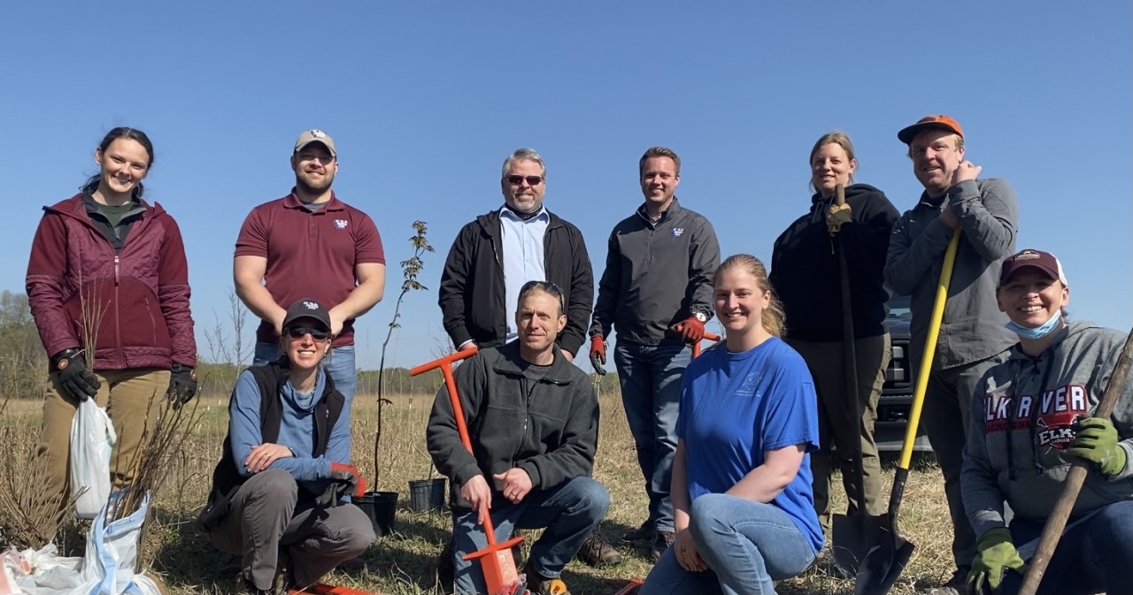
While we at the Anoka Conservation District are wonderfully proud of our part in natural resources management, we recognize that we are just a part.Here's a big word of THANKS to all those volunteers and groups that have parties that lead to cleaner lakes, healthy forests, and abundant wildlife!

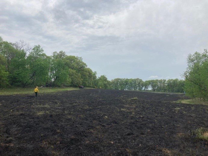
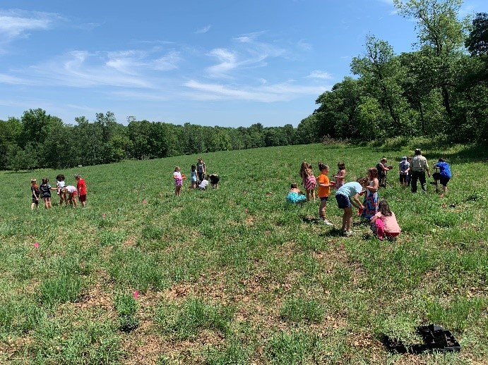
Below are photos of a few great parties in 2019.

  1602 Hits

Lawns to Legumes in Anoka County

The Anoka Conservation District, in partnership with the cities of Fridley, Coon Rapids, Anoka, and Andover, were awarded $40,000 from the Board of Water and Soil Resources to establish a Lawns to Legumes Demonstration Neighborhood in the Mississippi and Rum River Corridor. The project will convert residential lawns into pollinator habitat in support of the Rusty Patched Bumble Bee and other at-risk pollinators. Residents interested in being part of a Demonstration Neighborhood in Anoka County should complete this form: bit.ly/lawns-legumes-anoka

In addition, there are several other ways to get involved:

  • 1.Visit the Board of Water and Soil Resources website to learn more and download free resources: bwsr.state.mn.us/L2L
  • 2.Sign up for a Lawns to Legumes Workshop near you: bluethumb.org/events (Landowner workshop will be scheduled in Anoka County in summer of 2020)
  • 3.All residents may be eligible for individual mini-grant funding up to $350. Apply here: bluethumb.org/lawns-to-legumes

If you have any questions about how the Lawns to Legumes Program will work in Anoka County or how you can be involved, please reach out! This email address is being protected from spambots. You need JavaScript enabled to view it.

  2203 Hits

ACD Receives Funding for Weed Management Grants

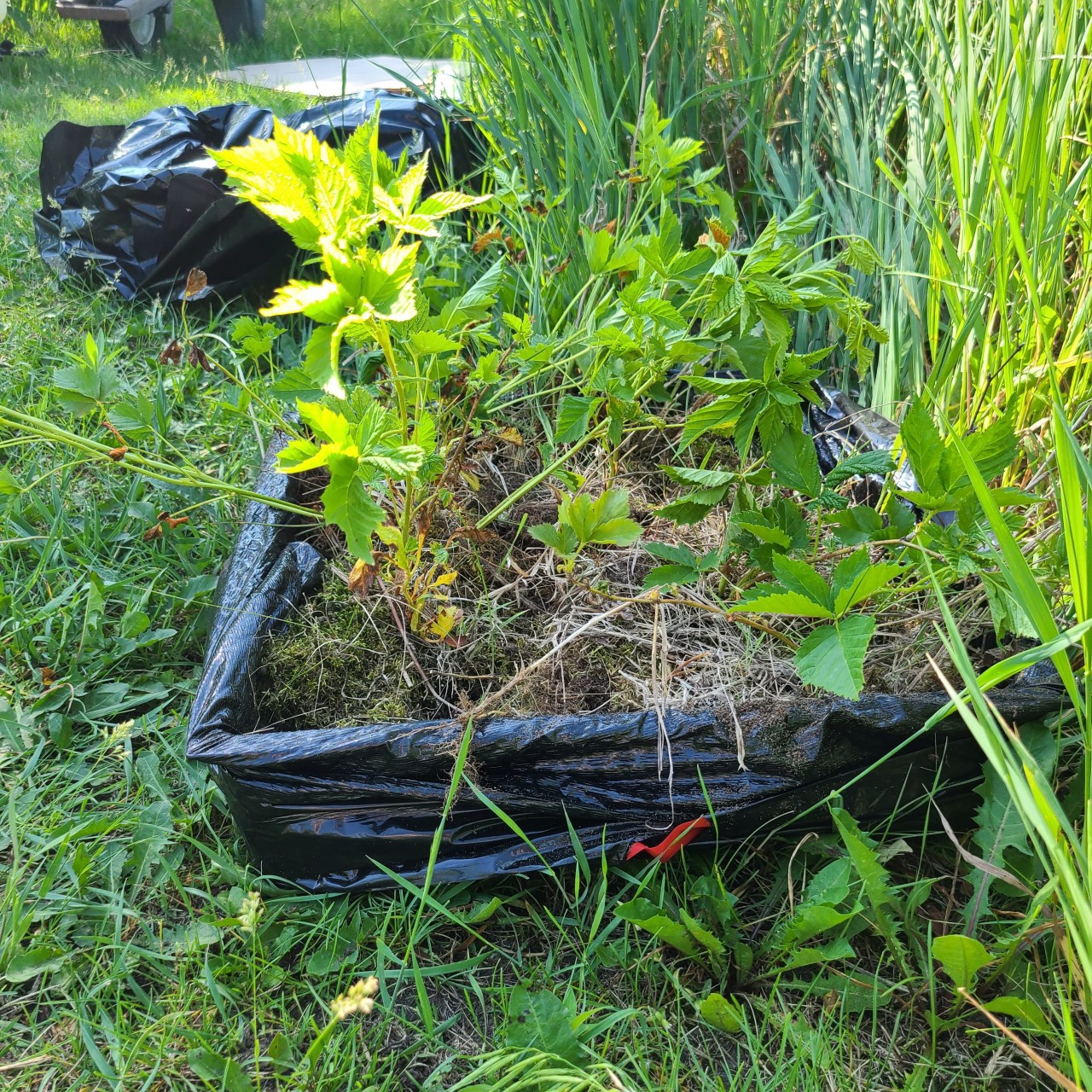
ACD received funding from BWSR to continue the Anoka Cooperative Weed Management Area program and received two sources of MDA funding for Anoka County invasive species control and for Metro-wide non-native Phragmites treatment.

The Anoka Cooperative Weed Management Area Program currently consists of 27 Partners who have identified priority invasive species of concern, locations and activities in Anoka County. ACD received the maximum funding of $15,000 to be utilized in three years. Renewal/BWSR Request for Proposals are offered every two years. Current BWSR funds will support:

  • mapping and monitoring priority invasive species on EDDMaps,
  • surveys in select high quality habitats,
  • implementation of biocontrol release,
  • monitoring past treatment,
  • training a new partner, Anoka County Highway staff on invasive species identification and treatment, including wild parsnip sites identified on Anoka Highway ROW,
  • organizing and creating outreach material and expanding the ACWMA website to provide a central location for ACWMA resources,
  • provide outreach and engagement with City Staff, residents, and volunteers,
  • and, provide technical and financial resources for invasive species cost share program for priority invasive species and priority locations.

ACD received the maximum funding from MDA Level 1, $10,000, to be spent in 2020. These funds will increase the capacity of the ACWMA efforts and specifically support:

  • Invasive species trainings and volunteer engagement in invasive species control in Anoka County, including a training to Anoka County Master Gardeners in April 2020.
  • Mapping and monitoring priority invasive species and surveys in high quality habitats.
  • Release knapweed root weevil (Cyphocleonus achates) and knapweed flower weevils (Larinus minutus obtusus) biocontrol at two sites.
  • Provide training to Anoka County Highway to identify and control priority invasive species, starting with wild parsnip by June 2020.
  • Treat all known populations of wild parsnip in Anoka County by July 2020.
  • Follow up treatment of golden creeper with digging out roots and June 2020 and herbicide application of any remaining plants by September 2020.
  • Conduct a land management and invasive speices workshop to City of Blaine residents in September 2020. By mid-November 2020, provide technical and financial support for buckthorn treatment to landowners adjacent to the Blaine Wetland Sancturary, treating 12 acres of buckthorn. I'm collaborating with Rebecca Haug/City of Blaine, Beth Carreno/RCWD and Metro Blooms.

ACD received $49,705 from MDA Level 2 to be spent over two years to map, treat, and monitor non-native Phragmites in the Metro. Metro County Partners will continue mapping and will obtain permission from landowners to treat with herbicide and mowing. ACD will coordinate monitoring following MN DNR protocols, will hire a contractor for treatment, and lead native planting/restoration at Sunrise Lake which was previously treated.

  2165 Hits

2019 ACD Monitoring Season

2019 was another successful monitoring season for The Anoka Conservation District (ACD). Strong partnerships with watershed districts, watershed management organizations, and local lake associations, allowed ACD to implement a variety of monitoring programs including; daily precipitation totals (12 volunteers), lake levels (25 lakes), lake water quality (11 lakes), stream hydrology (12 sites), stream water quality (18 sites), stream benthic macroinvertebrates (3 Anoka County schools), shallow groundwater levels in wetlands (19 sites) and deep groundwater levels in observation wells (24 sites).

2019 ended up being the wettest year on record for the state of Minnesota with a state-wide average of 35.51 inches, breaking the previous record of 33.93 inches set in 1977. Due to the banner year Minnesota had with rainfall, we saw historically high water levels in lakes and streams and higher than average groundwater levels in many wetlands and groundwater wells. 2019 was a great year for overall water quality, with many of the lakes and streams showing improvements compared to the historical average.

With a growing population and ever-increasing development, it is more important than ever to have the ability to make informed decisions when it comes to land use management and for local leaders to have an understanding of how those decisions may affect natural resources. Water resources are rapidly declining in quality and quantity throughout the metro. Anoka County is fortunate enough to still have many pristine natural areas but it will take a team effort to keep them that way.

  2127 Hits

Rum River Central Regional Park Riverbank Stabilization

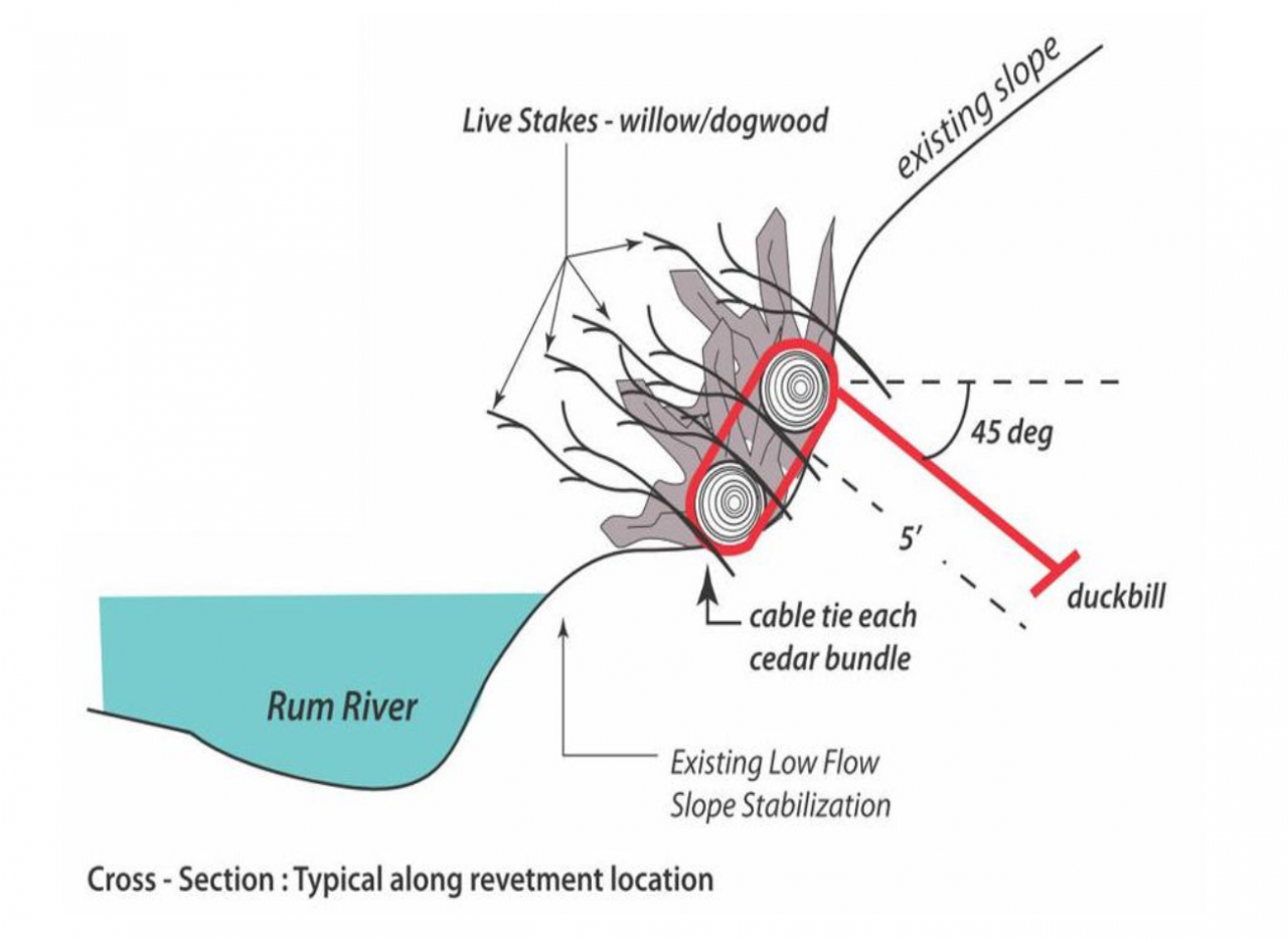
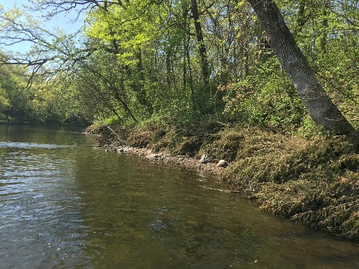
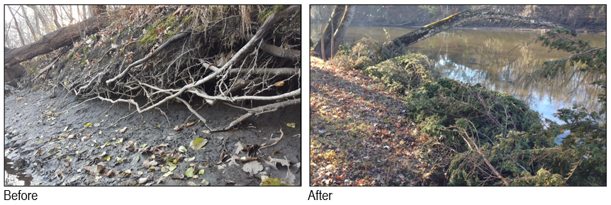
The Anoka Conservation District partnered with Anoka County Parks to stabilize 310' of eroding riverbank within Rum River Central Regional Park. Prior to the project, the bank was severely eroding and undermining sections of a paved trail. The stabilization project is now complete and included the following elements:

  • Minimal riprap at the bottom of the slope within the zone of frequent water level fluctuation where vegetation does not grow well,
  • Grading above the riprap to the top of the slope (3H:1V), seeding with native vegetation, and installation of an erosion control blanket,
  • Relocation of the paved trail to ensure sufficient separation between the trail and the new top of slope, and
  • Dormant willow stakes were installed in November 2019 as the final phase of the project.

Stabilization of the bank will prevent 100 tons of sediment annually from entering the Rum River. Multiple State and local funding sources were used to complete the project.

  2470 Hits

Lessard-Sams Outdoor Heritage Council Recommends Funds for Rum River Stabilization Projects

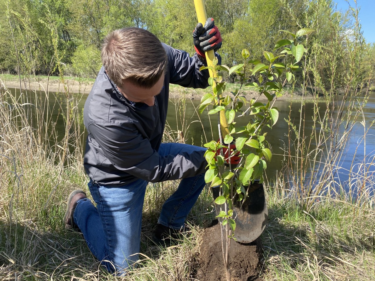
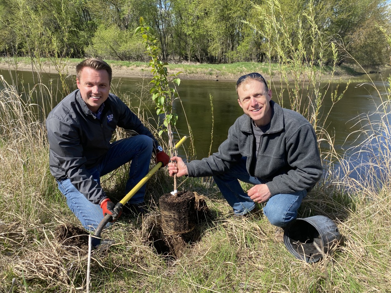
The Lessard-Sams Outdoor Heritage Council is recommending $952,000 from the Outdoor Heritage Fund for ACD to stabilize eroding Rum Riverbanks utilizing habitat-building, bioengineering approaches over the next three years. Bioengineering techniques stabilize and armor eroding riverbanks in a way that both protects the bank from further erosion and provides traversable habitat for wildlife. These techniques rely on using natural materials such as tree trunks and root wads, in-stream rock weirs, native plantings and tree staking, gradual slope grading, and minimal hard armoring where necessary. Current erosion along streambanks, as well as traditional armoring techniques like riprap, result in a wall or barrier to wildlife. The bioengineering techniques that will be employed by ACD in the Rum River will eliminate those barriers and provide additional habitat for all kinds of wildlife.

ACD has identified over twenty eroding banks along the Rum River in Anoka County that it will be seeking to address with these funds. It is anticipated that four to eight sites will be stabilized with the $952,000 from the LSOHC and an additional $236,000 in local funds from Anoka County and the Upper and Lower Rum River Watershed Management Organizations. Anoka County has pledged $442,000 in Rum River stabilization matching funds over the next five years. The remaining funds will be used as match for future grant applications.

The Lessard-Sams Outdoor Heritage Council has made the funding recommendation to the Minnesota Legislature, who will draft final bill language during the 2020 legislative session. ACD will begin reaching out to landowners with identified eroding banks suitable for these stabilization techniques after the funding is finalized.

  Example photo of an eroding Rum Riverbank stabilized with bioengineering techniques. This project was the result of the continuing partnership between ACD and Anoka County Parks.

  2332 Hits

Leaving a Legacy on the Land through Easements

Written by: Jamie Schurbon, Watershed Projects Manager

When I was young, there was a woodlot in the neighborhood where kids, including me, roamed. It was along the river, where there were frogs to be caught. We built forts. We played games. It felt like 100 acres, but in hindsight was probably just a few. That natural area was, apart from the people, a most memorable part of the neighborhood.

What's the best part of your neighborhood? Perhaps it's a woodlot on your own property. Or a wetland the provides a little privacy. Or just a few big mature trees. We get joy from living in natural surroundings big or small. When these things are lost, the neighborhood seems to sigh in disappointment (and some folks get downright upset).

Conservation easements are one tool available to landowners who want to ensure their land is kept natural for the long term, as a legacy for the community. Conservation easements pay landowners in exchange for a restriction on certain types of changes, such as clearing and building, to the land in the future. The easement runs with the land and applies to future owners.

The newest easement program available in Anoka County focuses on properties along the Rum River. Riverbank properties are critical to the scenic and recreational qualities of the river, as well as the river's ecological quality. The program pays 60% of the assessed value of the land. You set the easement boundaries. You retain ownership. The land does not become open to the public.

Easements are purchased strategically. While many lands are eligible, not all are competitive candidates. Those that score highest are parts of larger high quality natural areas and will not become "islands" within development. Easements should help retain community character and be consistent with anticipated growth.

If you are interested in having your land considered for a conservation easement, please contact Carrie Taylor at 763-434-2030 ext. 19 or This email address is being protected from spambots. You need JavaScript enabled to view it. 

  2215 Hits

Landscaping for Wildlife

This may not seem like the time of year to be planning for habitat improvements on your property, but if you want to take advantage of good prices on bare root trees and shrubs, now is the time to order. Anoka Conservation District's annual tree sale is a great place to start.

When asked by property owners what they can do to attract wildlife to their property, I start with the basic; 1) minimize mowing, and 2) provide food, water, shelter, and plenty of space.


Food: Flowers, fruit, buds, twigs, seeds, nectar, and foliage are food for many of our local birds, insects, and small mammals. These little critters are in turn, food for larger animals. If you build from the bottom up, and create habitat for the smallest creatures, the larger ones will follow and your habitat will be more stable. Planting trees, shrubs, flowering plants, and grasses will all get you heading in the right direction. Use native species to ensure they attract wildlife from this area.

Water: If you have a natural water source, like a pond, wetland, lake or river, you are all set. Flowing water attracts the most wildlife, but still water works well too. If you plan to add an artificial water source, everything from a simple bird bath to a fancy water feature like a lined pond with flowing water and pump, will bring in everything from birds and butterflies, to frogs and deer.


Shelter: Shelter comes in natural and manufactured forms. Bird and bat houses are options, as are wood or rock piles. Consider leaving fallen trees to lay on the ground or dead standing trees to remain, if they aren't a safety concern. Plant trees and shrubs for nesting. Even tall native grasses provide good cover for deer and birds to bed down in.

Space: Animals have varied needs in terms of space. Some defend large areas while others live in harmony with close neighbors. Whether or not you have a small urban oasis or 40 acres of wild open space, if you provide food, water, and shelter, it will attract wildlife to fill the available space. Curb your expectations to the limits of your property and do a little research on any particular species you are hoping to draw in.

Some landscape features you may want to consider:

  • butterfly gardens
  • frog ponds
  • native prairie gardens
  • shrub groves
  • rock or brush piles
  • bird baths
  • feeders
  • pollinator garden
  • hummingbird garden

For a complete brochure on the topic, visit;  https://www.anokaswcd.org/index.php/backyard-habitat.html

  2578 Hits

Minnesota's Changing Climate

Flooding in a Southwestern MN Ag. Field

Minnesota is one of the states most impacted by climate change. Official precipitation and temperature data has been collected in Minnesota from 1895 through today, showing some striking statistics about our changing climate:

  • 13% increase in the size of the heaviest annual rainfall.
  • Since 2000, rains of more than 6" are four times more frequent than the previous 30 years prior.
  • 65% increase in the number of 3" rains.
  • Average temperatures in Minnesota have warmed by 3˚F since 1895.
  • Overall, Minnesota's climate is warmer and wetter.


These changes are impacting Minnesota's wildlife, forests, water quality, infrastructure, and outdoor recreation (especially winter sports). Below are some links to MN DNR infographic GIFs that shows the change to our 30-year average winter temperature and 30-year average yearly precipitation:


Sinkhole in Duluth Following a 7"+ Rainfall
As you can see, Minnesota's winters are warming dramatically, with the 9˚ contour moving  north by as much as 150 miles. Similarly, the 26" contour for precipitation has migrated roughly 100 miles to the Northwest.

We witnessed the impact of elevated precipitation in 2012 when the most damaging flood in Duluth's recorded history began when heavy rains fell over already saturated ground on June 19th and 20th. At the Duluth National Weather Service (NWS) the rainfall total for those two days was 7.24 inches. A NWS volunteer observer in Two Harbors recorded the storm's largest value of 10.45 inches in 24 hours.

The aftermath included millions of dollars of insurance losses to repair roads, bridges, homes and businesses. Many homes foundations were damaged extensively and the houses were razed. One state highway (MN 23) was closed for 3 years while it was repaired. The City of Duluth has had to adapt their stormwater infrastructure to withstand events that 30 years ago were considered 500-year events, but now happen regularly. In June 2018, just southeast of Duluth, the area received up to 10" of rain and once again damaged Highway 23.

Here in Anoka County, we've witnessed a similar story in 2019, with all of the monitored lakes, rivers, and streams in the County reaching historic water level averages for the year. This increase in precipitation only solidifies the need for comprehensive watershed management to make sure that our infrastructure and waterways can handle the increased erosion and flow produced by this additional rain. 

 Interested in learning more? Check out MN Pollution Control Agency's Climate Change in Minnesota webpage or the MN Department of Natural Resources Climate Data

  3731 Hits