Here's our version of a popular kid quiz game. Below are sets of three statements. Can you tell which one is the lie? See answers at the bottom of the page!
#1: About the Anoka Conservation District's (ACD) origins…
- a) ACD began with the purpose of replanting trees lost to the devastating 1939 Anoka tornado.
- b) We started in 1946 with focus on stemming Dust Bowl era erosion.
- c) ACD was brought into existence by the voters of Anoka County through a referendum.
#2: About the Anoka Conservation District (ACD)…
- d) We're a department of Anoka County that focuses on natural resources issues.
- e) ACD's elected Board of Supervisors sets the policy and direction of the District and staff work to bring it to fruition.
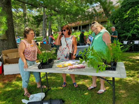
- f) Our staff of 12 includes experts on water quality projects, upland habitat restoration, wetlands, and more.
#3: About ACD's function…
- a) ACD offers technical and financial incentives to encourage conservation activities and works with willing landowners to make them happen.
- b) By creating reasonable standards and issuing permits, we are able to stem negative impacts of development.
- c) We keep our finger on the pulse of our natural resources with an extensive program of monitoring and inventory done in partnership with water management entities.
#4: About ACD's funding…
- a) At $0.41 per capita for general services, ACD funding from the county is the lowest funded soil and water conservation district in MN.
- b) ACD invented, patented, and sells a product that has over $500K in annual sales.
- c) In 2022 our elected supervisors reduced our tax levy by 5%.
#5: ACD's accomplishments…
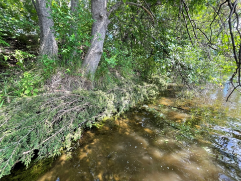
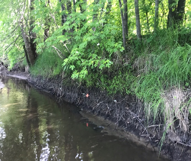
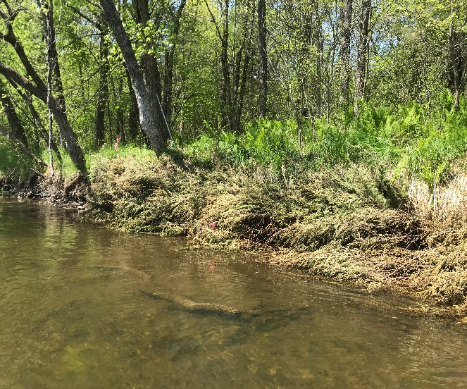
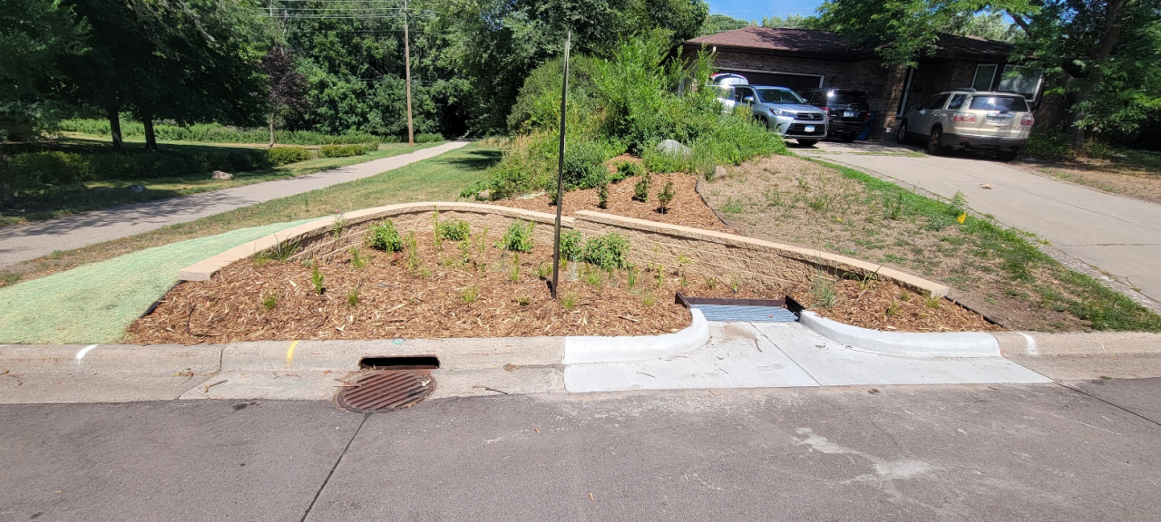
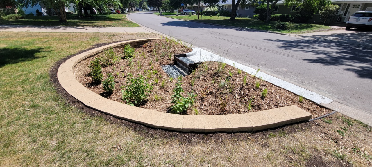
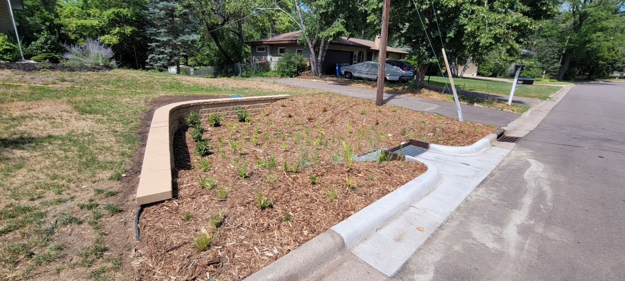
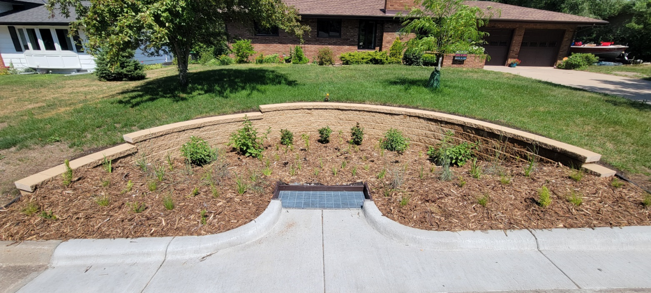
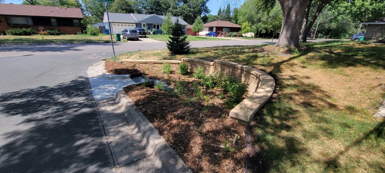
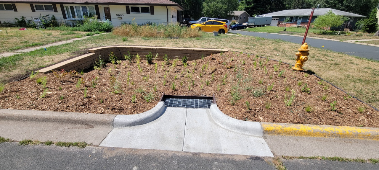
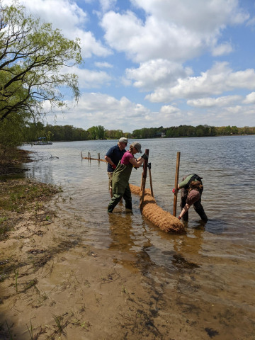
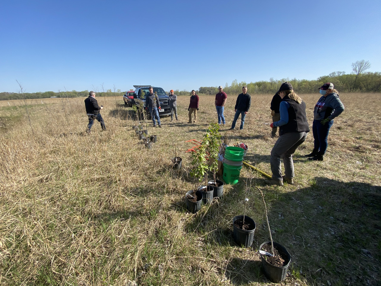
- a) In 2021 we installed 66 projects for water quality and habitat.
- b) We simultaneously manage 10 different grants that are used for projects.
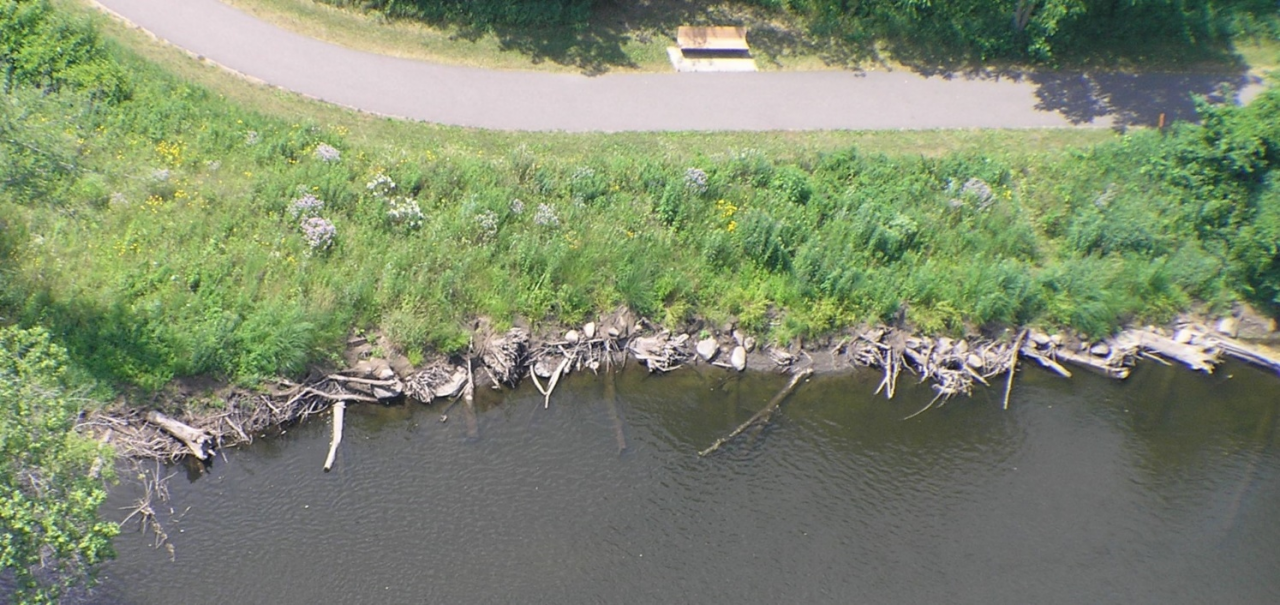
- c) Our biggest project in 2021 was nearly ¼ mile of stabilized Mississippi Riverbank.
#6: Collaborations…
- a) ACD serves as the contracted administrator for three watershed organizations to reduce duplication and coordinate.
- b) Cities, lake associations, watershed groups, and landowners voluntarily contribute match to help us secure grants for projects of mutual interest.
- c) We spend a lot of time working with people who are under mandatory permit requirements to do conservation projects.
#7: Stuff we'll help you pay for…
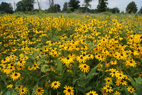
- a) Our Lawns to Legumes program encourages pollinator habitat. (Legumes are a class of veggies including beans, peas, & clovers).
- b) Our Green Fields, Blue Water Initiative with the Minnesota Twins will install "smart" irrigation systems on community baseball fields to avoid watering when rain is in the immediate forecast or a game is scheduled to be played.
- c) Our Septic Fix Up grants help folks in deep crap with repair or replacement a failing septic system. It helps protect lakes and groundwater.
#8: Office life…
- a) We have "companion ducks" at the office to calm our nerves. When they migrate in winter, staff get pretty edgy. Call during summer.
- b) We celebrate casual Fridays on Thursdays. When actual Friday arrives, it's a little depressing. Call before Friday.
- c) Our staff "wellness program" is all about encouraging naps. Life is a race already. Please call after nap time.
ANSWERS
#1: The lie is (a) -- While the 1939 tornado was devastating, it was the Dust Bowl era of drought that prompted a need to connect farmers with practices that were less erosion-prone. We have evolved to include urban and sub-urban conservation practices.
#2: The lie is (a) -- ACD is not an Anoka County department. We are separate, with our own elected supervisors.
#3: The lie is (b) -- We don't have any regulatory authority nor issue permits. We work with willing landowners only.
#4: The lie is (c) -- We don't have tax levy authority. We do receive some funds from the county and grants that originate from taxpayers, but we control none of it.
#5: The lie is (b) -- At any given time we have 20+ different grants totaling over 4 million dollars!
#6: The lie is (c) – We work with willing landowners only. We don't do regulation.
#7: The lie is (b) -- Nice idea, but not yet reality. Consider smart irrigation for your home.
#8: The lie is…all of them. :)