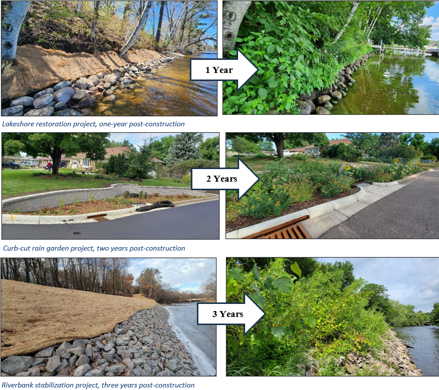
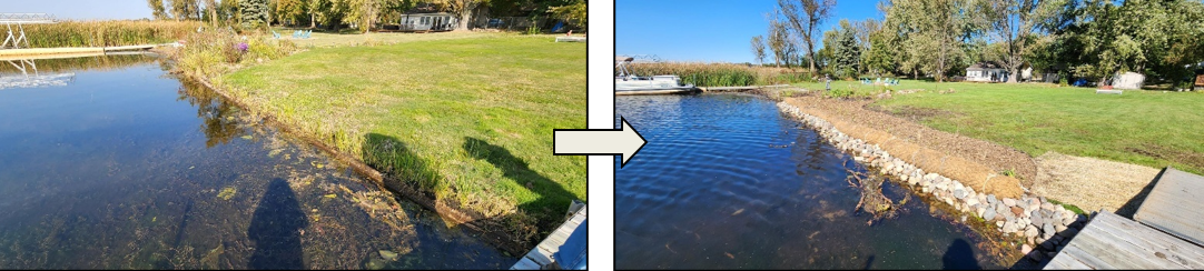
Several recently installed lakeshore projects feature a new combination of materials to protect from erosion while restoring the native plant community. Our newest approach incorporates the use of rock, coconut fiber coir logs, and a diverse native plant buffer to stabilize shorelines experiencing moderate erosion.
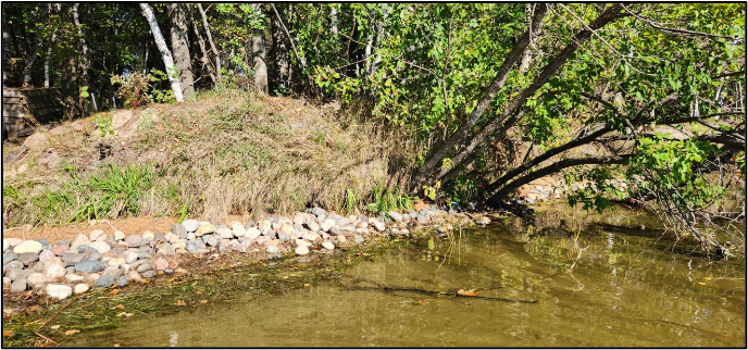
Rock was placed to the elevation at which vegetation struggled to grow and erosion regularly occurred. This elevation is different for each lake and is based on water levels, wind fetch and wave models. The goal was to choose a rock type that would create a more natural look, while still providing protection and function, while preventing undercutting and collapsing of the sandy soils above.
16" coconut fiber coir logs were installed in the zone where water level fluctuations regularly occurred, but vegetation was capable of growing. This log will protect the new plants from wave and ice action while they become established. Eventually, the log will decompose. The coir log was anchored with a new technique using sisal rope and earth anchors for a stronger hold and improved aesthetics.
A buffer of native vegetation was planted behind the coir log. Their deep and interconnected roots will serve as the long-term stability for this shoreline.
This approach also allows for installation with smaller machinery or by hand, facilitating application to shorelines with limited access or a need to work around existing natural shoreline features.