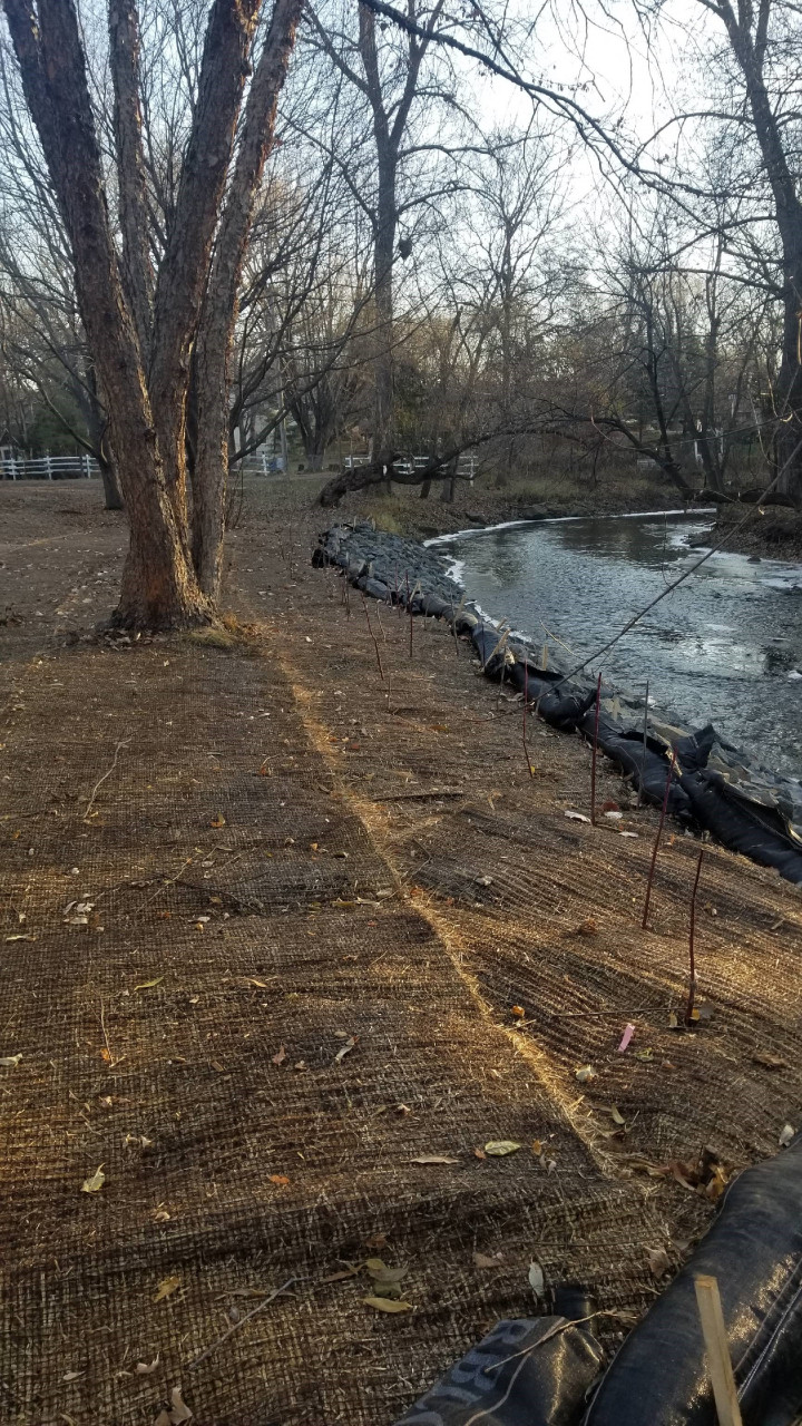
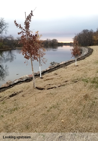
The Brua property located on Rice Creek in Fridley had approximately 85 linear feet of streambank with active erosion. Sediment and nutrients from the eroding bank directly entered Rice Creek. While the erosion severity was classified as moderate, the landowners observed the bank receding over the last several years, particularly during periods of extended high water. By being proactive and addressing the erosion at an early stage, they can minimize the overall cost of the project as well as the sediment and nutrient loading to Rice Creek.
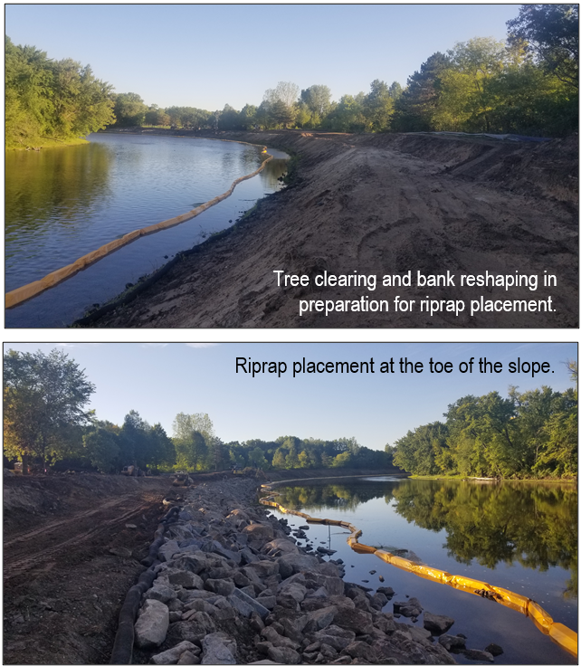
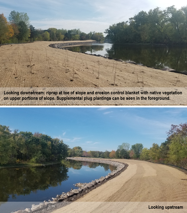
The stabilization solution used a minimal amount of riprap and native plantings to stabilize the eroding face. The shady conditions of the site, frequent water level fluctuation, and flowing water required a hard armoring solution along the bottom portions of the slope. Native species well adapted to frequent water level fluctuations and shady conditions were planted above the riprap to soften its appearance and provide a vegetated buffer with habitat value (see picture to right).
Stabilization of the shoreline will provide reductions in the total suspended solids (2,838 pounds per year reduction) and total phosphorus (1.21 pounds per year reduction) reaching Rice Creek. In addition to the water quality benefits to Rice Creek, downstream waterbodies (Locke Lake and the Mississippi River) will also benefit.
The project was funded through a combination of the Rice Creek Watershed District's Water Quality Grant Program and the landowner. For more information please contact Mitch Haustein,